Carr fire path of destruction shown in aerial photos
Aerial photos collected as part of a multi-agency collaboration creates a view of the Redding, Calif., area and the Carr fire’s path of destruction. Licensed drone pilots from Menlo Park Fire District, Alameda County Sheriff’s Office, Contra Costa Sheriff’s Office, and other agencies assisted the city of Redding in capturing the aerial photos.
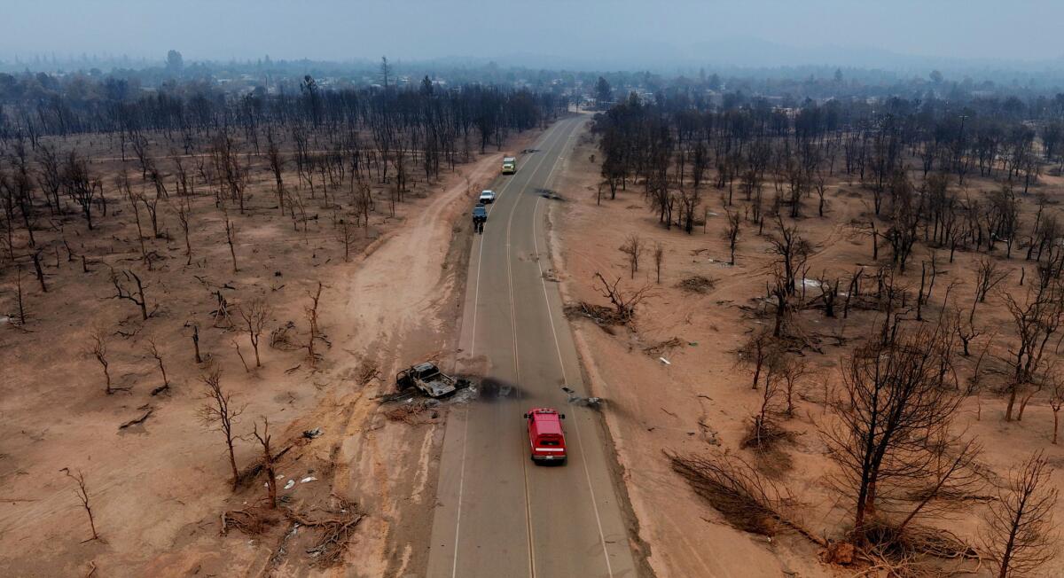
Buenaventura Boulevard destruction.
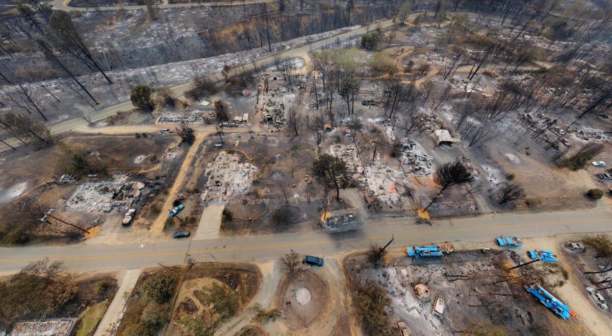
Keswick area destruction between Market and School streets.
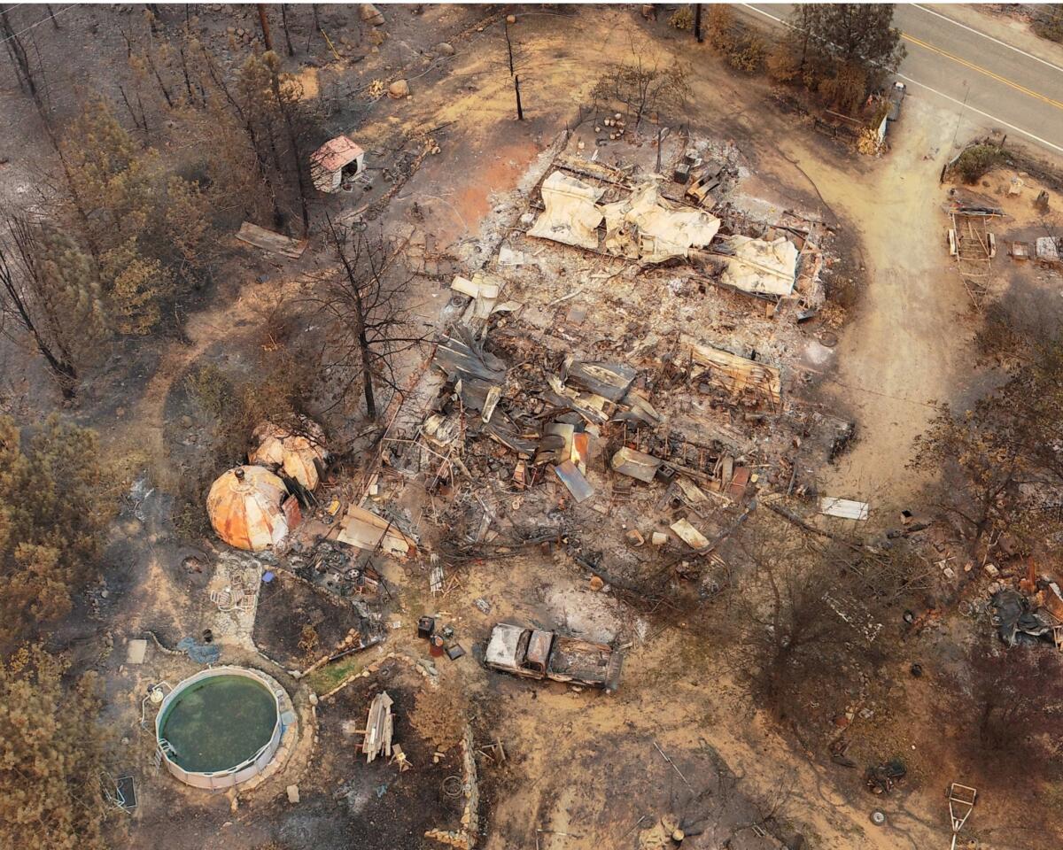
Keswick area near Rock Creek Road.
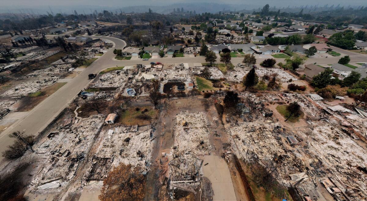
Keswick area near Puffin Way.
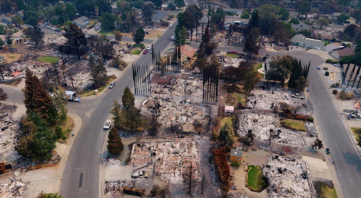
Lake Redding Estates along Bedrock Lane near Harlan Drive.
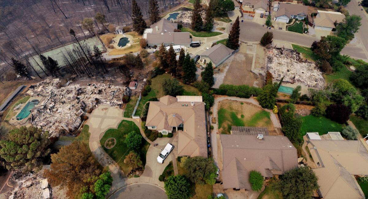
River Ridge Park near Diamond Bar Court.
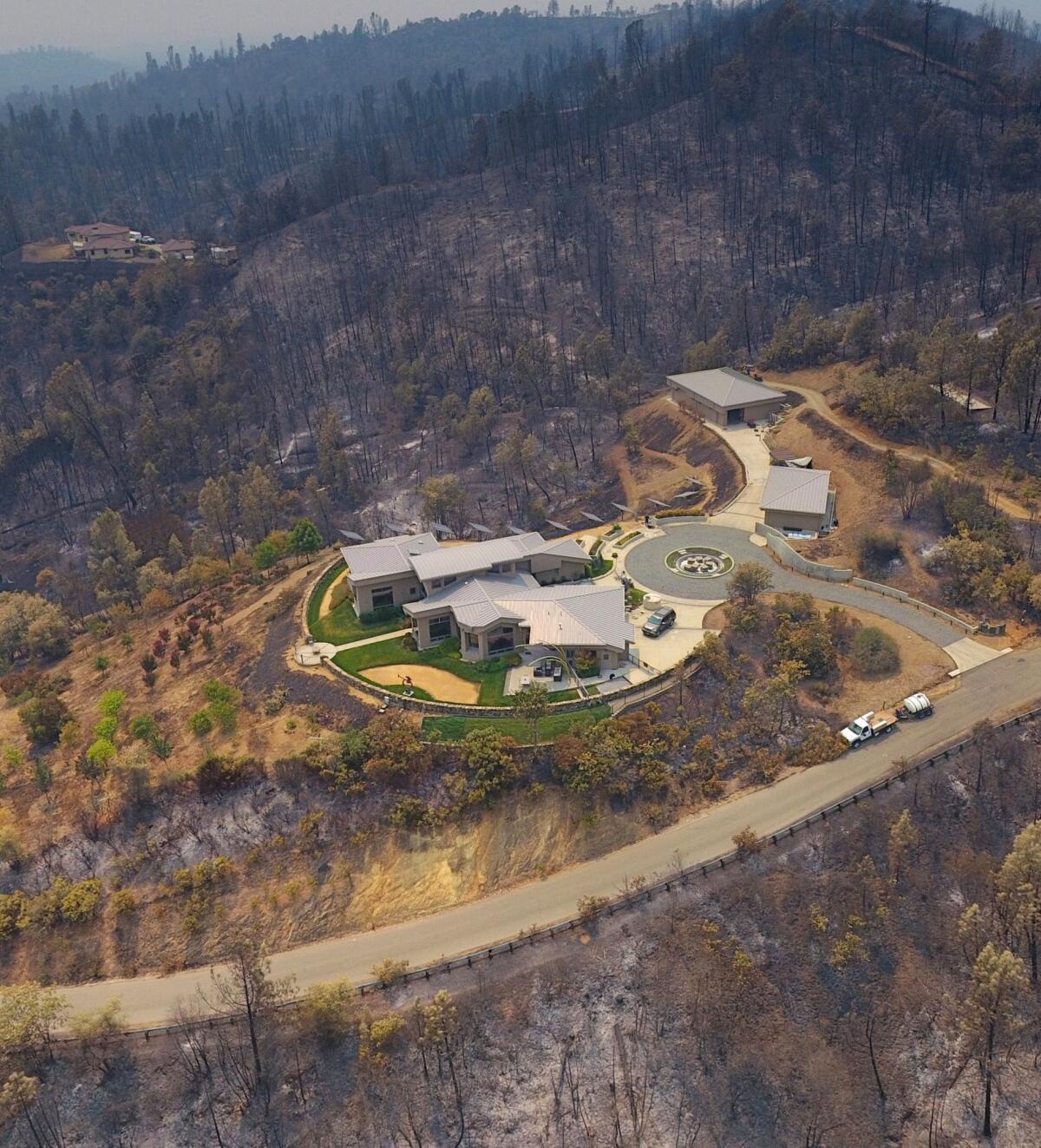
A home survived on Skywalker Drive.
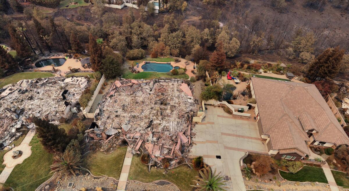
Sunset Hills area.

Multiple homes on Sunkist Court were destroyed by the Carr fire.

Santa Cruz Drive and Sutro Mine area.
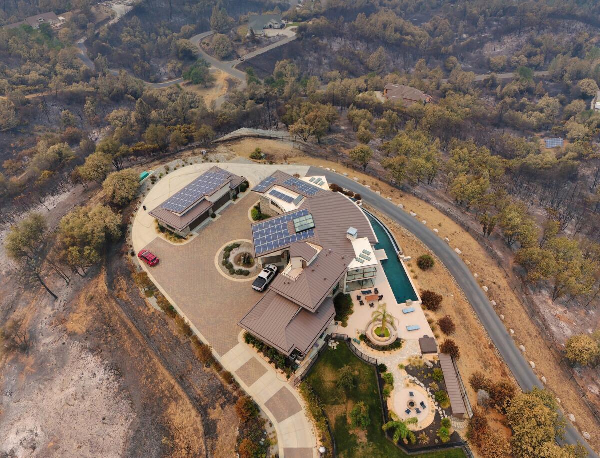
A large home survived the Carr fire on Valparaiso Way.
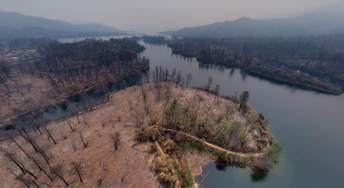
Whiskeytown area.
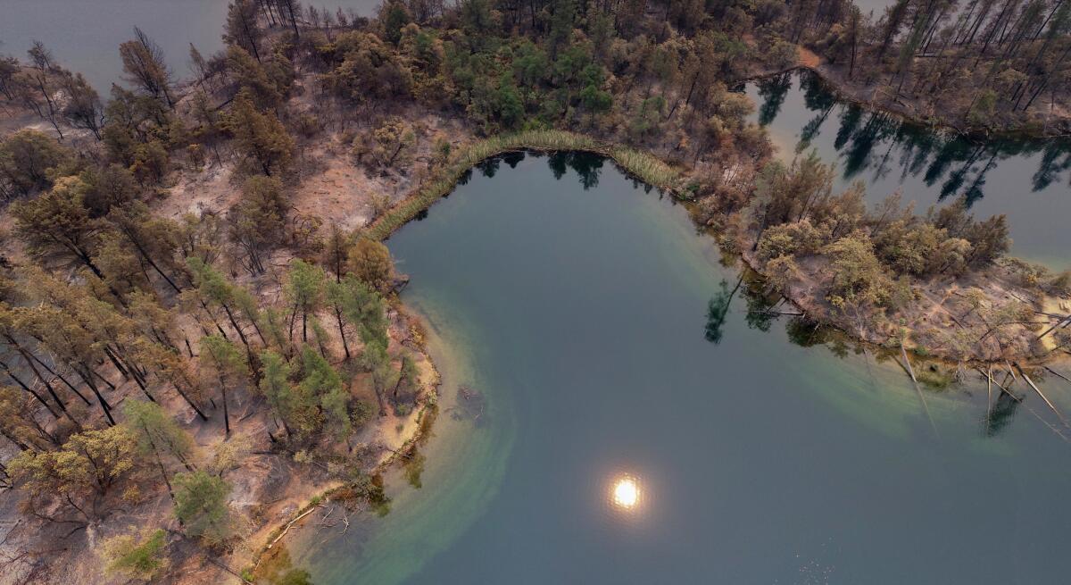
Whiskeytown area.
Credits:
Aerial photos were collected as part of a multi-agency collaboration. Licensed UAV pilots from Menlo Park Fire District, Alameda County Sheriff’s Office, Contra Costa Sheriff’s Office, and other agencies assisted the city in capturing the aerial photos.
The city would also like to acknowledge the California Department of Forestry and Fire Protection for permitting the use of UAV technology to assist in damage assessment.
Sign up for The Wild
We’ll help you find the best places to hike, bike and run, as well as the perfect silent spots for meditation and yoga.
You may occasionally receive promotional content from the Los Angeles Times.


