This story is part of our ultimate guide to hiking in L.A. You can buy a print copy at the L.A. Times store.
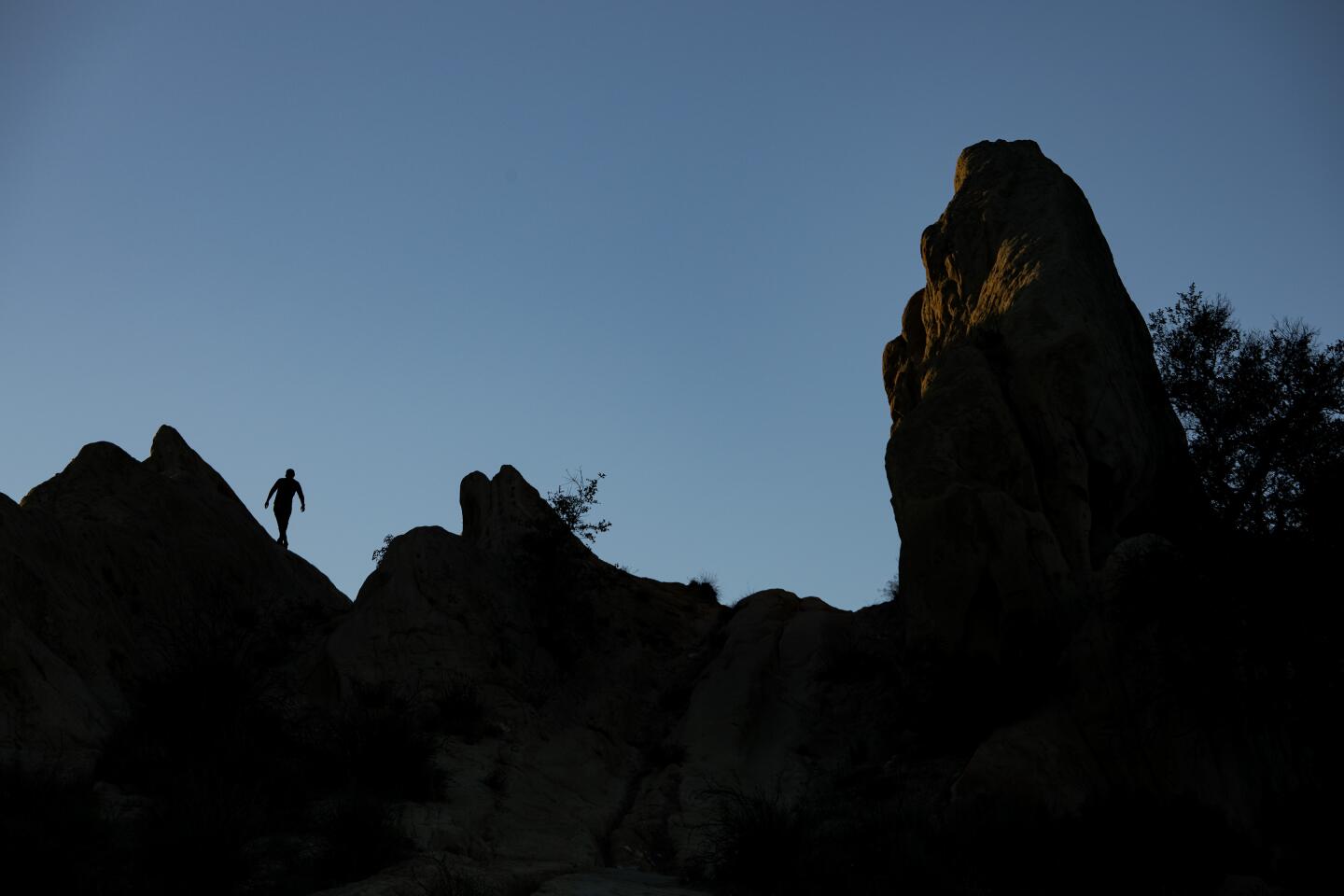
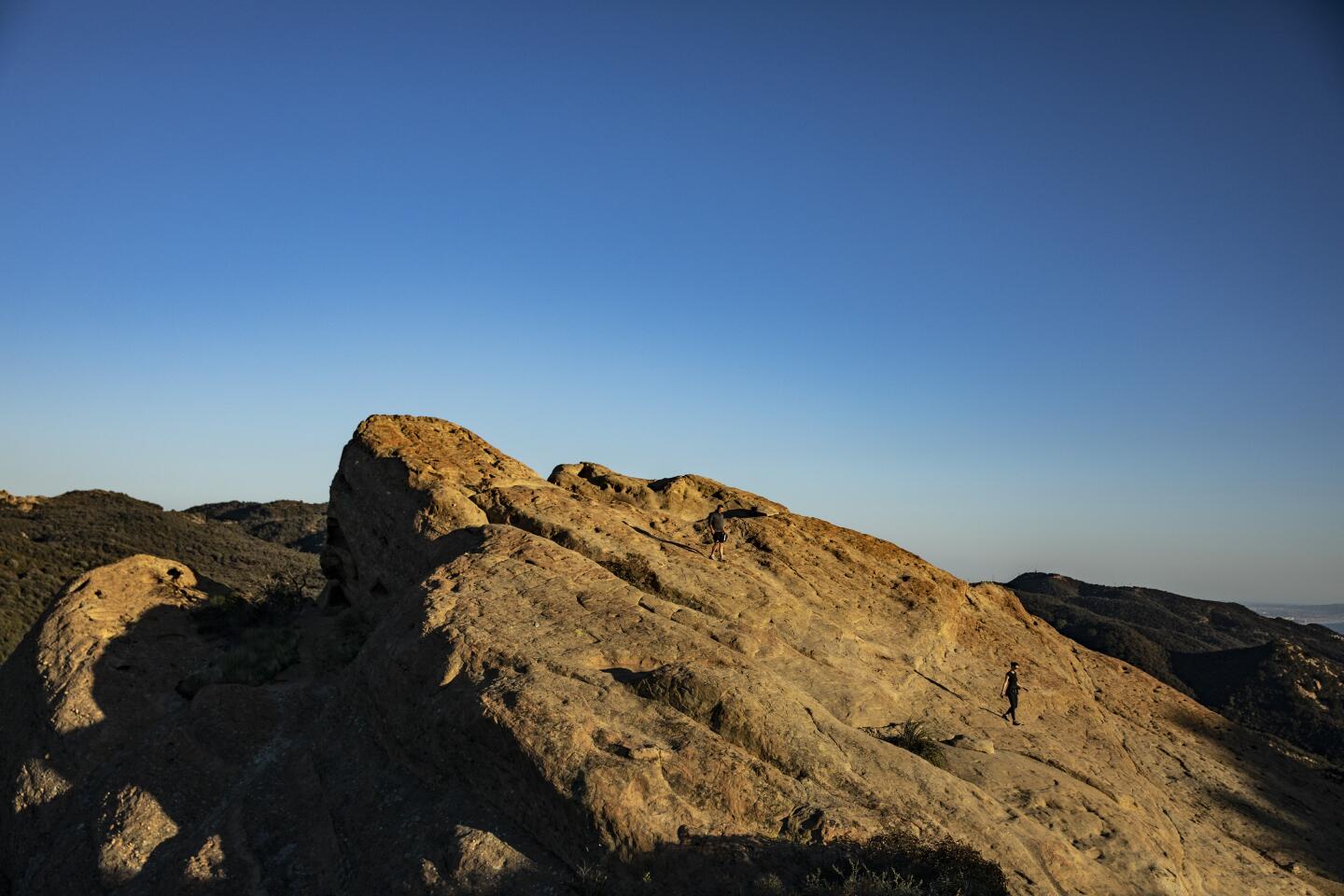
To take the truly scenic route from Malibu to Pacific Palisades, you won’t need a car. Pull on your hiking boots and head out on the Backbone Trail to experience the most spectacular and wildest parts of the Santa Monica Mountains National Recreation Area. The trail’s 67½ miles travel to woodsy canyons filled with native oaks and sycamores; high points for views of the Channel Islands in one direction and the San Gabriel Mountains in the other; and 16-million-year-old rock spires that look more like Arizona than L.A.
It’s a patchwork of old ranch roads, deer paths and newly designed sections. It crosses lands lived on by the Chumash and Tongva, then settled by Spanish ranchers and early homesteaders, and later reimagined by hippies who laid claim to Topanga Canyon.
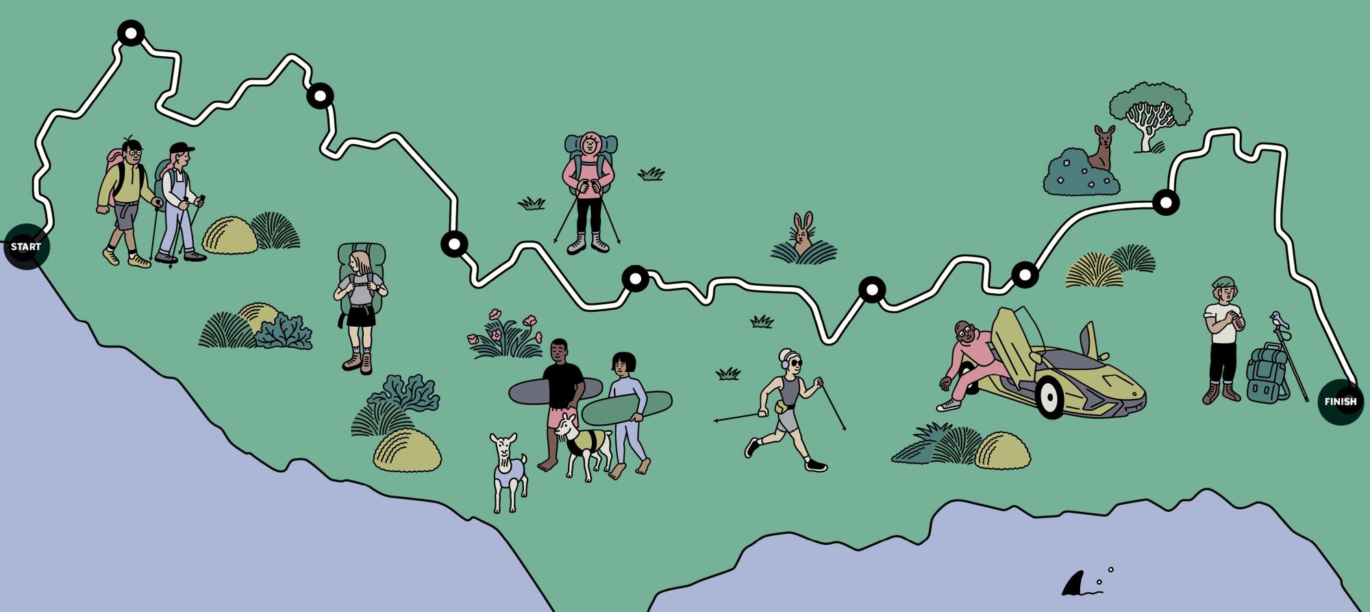
There are a dozen trailheads where you can hop on the Backbone and hike individual segments in any direction. Ralph Waycott, who has guided people on the trail for 17 years, divides the route into eight doable day hikes starting at the ocean west of Malibu and ending at Will Rogers State Historic Park in Pacific Palisades.
Some are out-and-back hikes, most are point-to-point (meaning you’ll need to set up a car shuttle or ride share). Trail apps and guidebooks as well as videos at bit.ly/BackboneTrail can help you find your way for a Southern California adventure like no other.
1. The ancient hood
Start: Ray Miller Trailhead, west of Malibu in Ventura County
End: Danielson Ranch
One-way distance: 8 miles, 1,975 feet of gain/loss; easy
The western end of the trail starts at its wildest part. It rises from Pacific Coast Highway and climbs gradually above the coast and into the heart of the Santa Monica Mountains where Chumash villages once stood. The native Californians traded food and tools with others, used shell beads as currency, and often paddled to the Channel Islands. “Exactly where you are standing, Indigenous people have been living for tens of thousands of years,” Waycott tells hikers. “Our society has been here 250 years.”
The higher you get the more you see — first the Channel Islands and then, inland, jagged Boney Ridge. Look for sagebrush, buckwheat, ceanothus, monkey flowers and coastal sage scrub, the only place on the Backbone Trail where these plants thrive. After three miles, you approach the Overlook Fire Road at the top, where you’re about as far from the hum of the city as you can get.
Not all sections offer such solitude. Enjoy the quiet before you drop into Sycamore Canyon, what Waycott identifies as one of the best pastoral canyons in Southern California. It’s wide, with oaks, sycamores and small meadows lining a creek. Follow the main canyon trail (often busy with hikers and bicyclists) to Danielson Ranch, the home of a former rancher who spent three decades here. Congratulations, you just completed the first segment.
Tip: To retrieve your car, retrace your steps and walk back eight miles, which makes this a long day hike. Or shorten the return hike to three miles by dropping a car at the Satwiwa/Rancho Sierra Vista parking lot in Newbury Park.
Whether you’re looking for ocean views or desert landscapes or soaring mountain peaks, Los Angeles offers miles upon miles of strikingly different trails.
2. Rock on
Start: Mishe Mokwa Trail
End: Danielson Ranch
One-way distance: 8.3 miles, 4,500 feet of gain/loss; strenuous
This is one of the most dramatic parts of the Backbone Trail, placing you at the highest point in the mountain range with views in all directions. It’s also one of the hardest. You left sea level in the first segment. The Mishe Mokwa takes you to Sandstone Peak at 3,111 feet. Spoiler alert: The peak isn’t made of sandstone but rather volcanic igneous rock. Yep, volcanoes erupted millions of years ago and left much of what you see on this route.
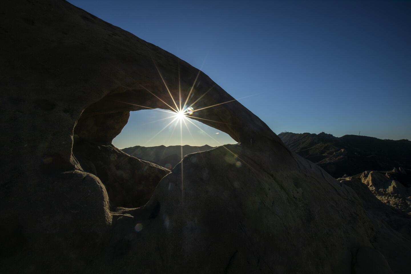
Waycott likens the rocky landscape to sculptures worthy of an art gallery. Two landmarks along the trail: Balancing Rock, which lives up to its name, and Chamberlin Rock, also known as Split Rock because you can walk inside its walls. Walk west to east through the rock to cleanse yourself of demons, Waycott suggests. A nearby picnic spot in an oak grove is a good place to take a break. “You’re in the spirit of the hike now, right?” he usually tells his hikers. This part of the trail takes you through the only wilderness area in the SMMNRA.
Here too begins the Mediterranean habitat shaped by hot summers and mild, wet winters, one of five discrete places on the planet where forest, woodland, savanna and scrub-plant communities thrive. The segment climbs 1,000 feet and then heads downhill 3,000 feet, ending in wooded Blue Canyon before arriving at Danielson Ranch, the same end point as hike No. 1.
Tip: After completing No. 2, retrace your steps for a long hike, or shorten the return to three miles by leaving a car at the Satwiwa/Rancho Sierra Vista parking lot in Newbury Park.
Los Angeles is a great hiking city. Here’s why
3. The long views
Start: Mishe Mokwa Trail
End: Encinal Canyon Road
One-way distance: 10.2 miles, 2,780 feet of gain/loss; moderate
This long, gradual section passes through the most recently constructed part of the Backbone Trail. Much of the route combines old ranch roads and animal trails that weren’t constructed with modern-day hikers in mind. This newer segment makes the 10 miles almost easy walking. Here it’s all about savoring the views, crossing the south side of Triunfo Peak and looking at the ocean. Once you cross Yerba Buena Road, you start to observe signs of civilization, Waycott says, at odds with the pristine habitat you just walked through. Roads, subdivisions and golf courses are seen as the trail presses east, a reminder of how close you are to the urban edge.
It’s also a place to think about the history of the place. Homesteaders who were given free land lived “incredibly harsh lives” in the mountains, he says. On the cusp of the old and the new, the early Southern Californians lived next to movie stars who were building homes nearby — and portraying them in Old West movies. “Kind of ironic but not too unusual in Southern California,” Waycott says. Indeed. The trail drops down, crossing Decker Canyon Road and ending at Encinal Canyon Road.
4. Thanks, Arnold
Start: Encinal Canyon Road
End: Latigo Canyon Road
One-way distance: 7.1 miles, 2,825 feet of gain/loss, easy
Now you’re used to the pacing and terrain of the trail. In this section, you drop off the ridge line and into the watersheds of Trancas and Zuma canyons, where you can ponder the role water plays in the Mediterranean habitat — and how little of it there is in the Santa Monicas. Bridges were constructed on this segment to avoid disturbing fragile habitat, but they burned in the 2018 Woolsey fire and haven’t been replaced. It’s still passable though.
The trail then enters the first significant coastal oak woodlands, anchored by trees Waycott identifies as the “statesman of the range.” The route then climbs out of Trancas Canyon to Zuma Ridge and one of the last land parcels needed to complete the trail: a 40-acre tract belonging to actor and former Gov. Arnold Schwarzenegger and fitness pioneer Betty Weider. They donated the land in 2016.
Farther along this stretch, look for red-legged frogs, which are being reintroduced here. (It’s the species Mark Twain made famous in his essay “The Celebrated Jumping Frog of Calaveras County.”) Walk on to Newton Canyon, a woodland with walnut and bay laurel trees as well as ferns, then climb uphill toward Latigo Canyon Road. You can look back and see Sandstone Peak and how far you’ve come. You’ve just crossed the halfway point of the Backbone Trail.
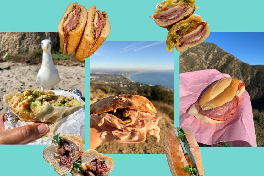
A hike is a good excuse to eat a sandwich. A sandwich improves every hike, and in L.A., you can almost always find one not far from the other.
5. Ocean on the hill
Start: Latigo Canyon Road
End: Piuma Road
One-way distance: 9.3 miles, 2,900 feet of gain/loss; strenuous
This segment starts on the side of a ravine and climbs to a ridge. Here you have one foot in the headwaters of Zuma Creek and the other in the headwaters of Solstice Canyon Creek. During a rainy spring you might make 15 water crossings in two miles.
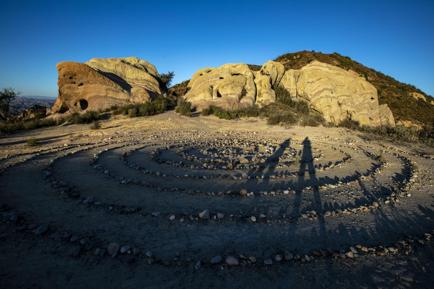
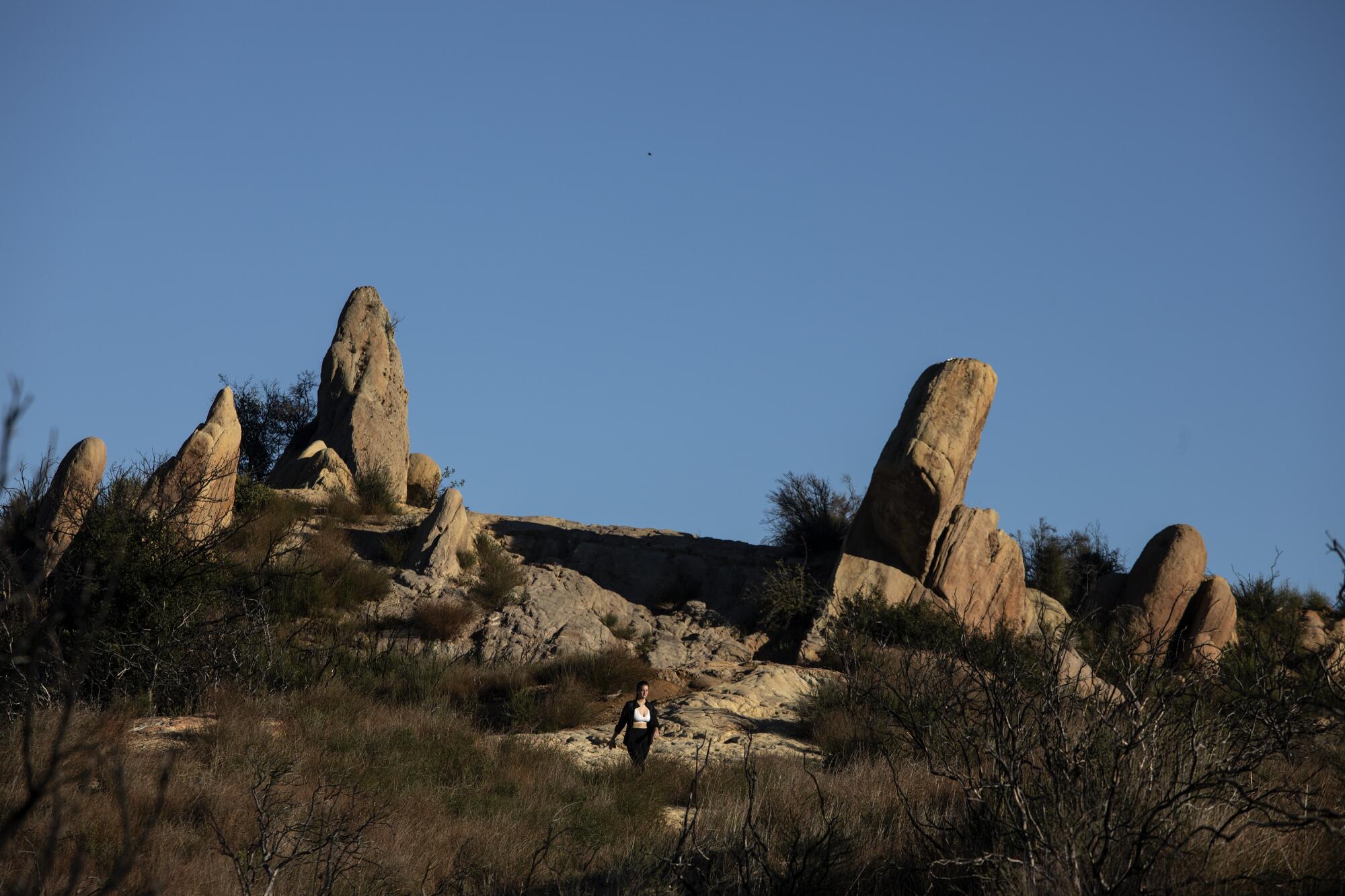
The trek continues to Corral Canyon and a striking landscape of sedimentary sandstone rocks that stand like pillars of a temple. You won’t want to leave. The rocks were formed 16 million years ago on the ocean floor and, if you know where to look, you can see fossils embedded in them. “Here you are on top of the ridgeline, but what you’re standing on was once underwater,” Waycott says. The downside: This trail section is popular with partiers, which accounts for the trash left behind and graffiti on some of the rocks.
The segment ends by dropping into Malibu Canyon, where you get good views of the hills and rock formations of Malibu Creek State Park.
6. Familiar sights
Start: Saddle Peak/Lois Ewen Overlook
End: Piuma Road
One-way distance: 7 miles, 3,125 feet of gain/loss; moderate
Get The Wild newsletter.
The essential weekly guide to enjoying the outdoors in Southern California. Insider tips on the best of our beaches, trails, parks, deserts, forests and mountains.
You may occasionally receive promotional content from the Los Angeles Times.
Get ready for a return to civilization. The trail starts with a slow climb to Saddle Peak and views of the L.A. Basin, where you can begin to recognize neighborhoods and see the geology of the city. From here, you walk downhill as you continue on gentle switchbacks toward Malibu Canyon, which spreads before you. In ancient times, the Chumash used the route to visit a village called Talepop in Malibu Canyon. Here you can contemplate the cultural crossroads over time, from the De Anza Expedition that camped nearby, to the Spanish migration and rancho period, to the arrival of Hollywood, which has loved the landscape as a filming location.
7. Mansions and Lamborghinis
Start: Saddle Peak/Lois Ewen Overlook
End: Trippet Ranch
One-way distance: 6.4 miles, 2,650 feet of gain/loss; easy
On this segment, you walk east to west, with a climb up to Saddle Peak to wide coastal views. As you head down toward Topanga Canyon, the route is confusing and unsigned, particularly where you cross the paved intersection of Saddle Peak and Schueren roads. Before rejoining the dirt trail, you emerge in an area with multimillion-dollar mansions on ridgelines and, often on weekends, car rallies where Lamborghinis and Corvettes line a wide spot in the road.
Crossing the intersection, the trail takes you downhill into Hondo Canyon, deeply forested with oaks and bay trees. “I feel it’s almost primordial when I walk through there compared to the other segments,” Waycott says. “It’s a timeless kind of environment.” The bottom of the canyon passes rolling grasslands that mark an ancestral border the Chumash shared with another native tribe, the Tongva.
Why hike in Los Angeles? Lots of reasons. Use our guide to navigate 50 trails in Southern California, plus tips on gear and treats for the trail.
8. The house that Will built
Start: Trippet Ranch
End: Will Rogers State Park
One-way distance: 11 miles, 3,475 feet of gain/loss; strenuous
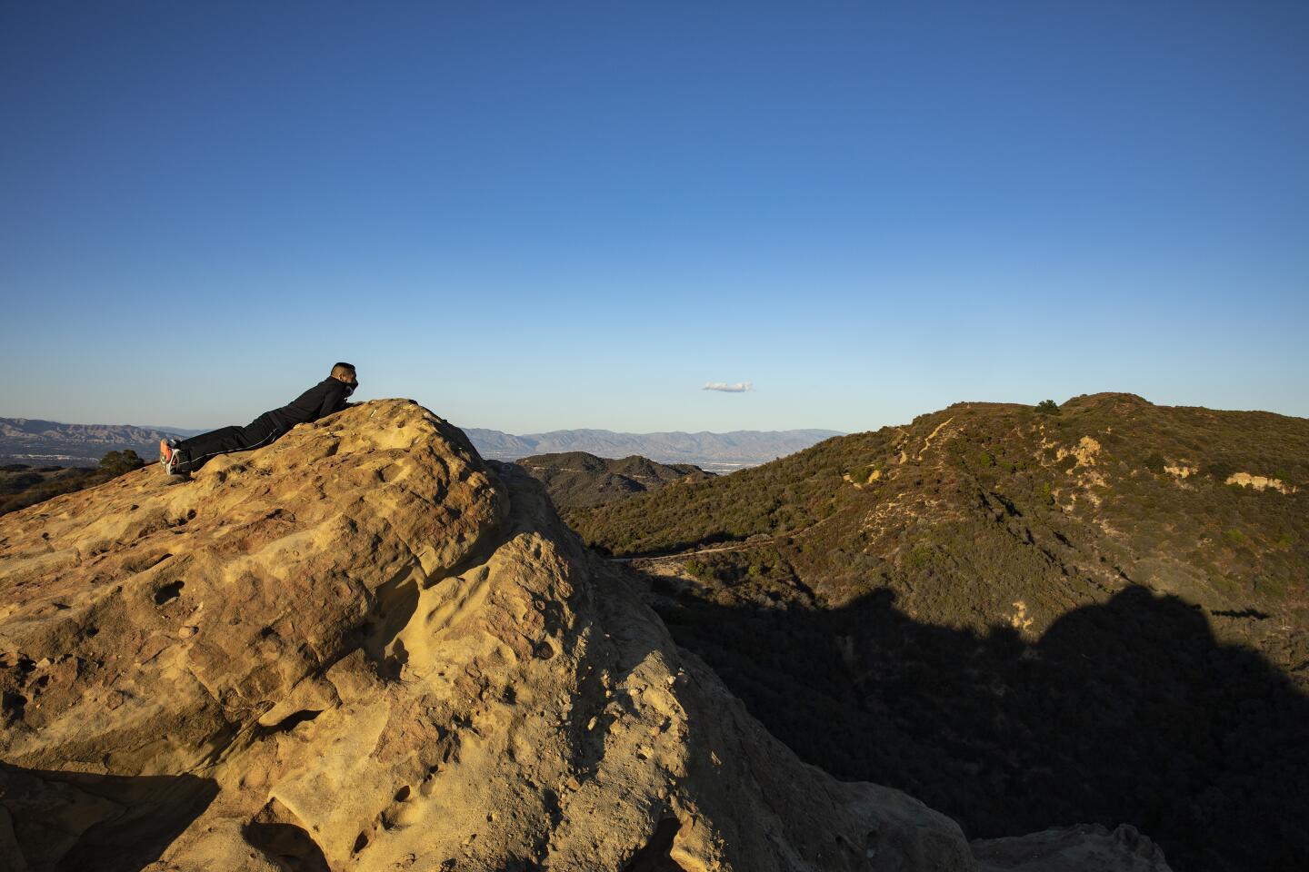
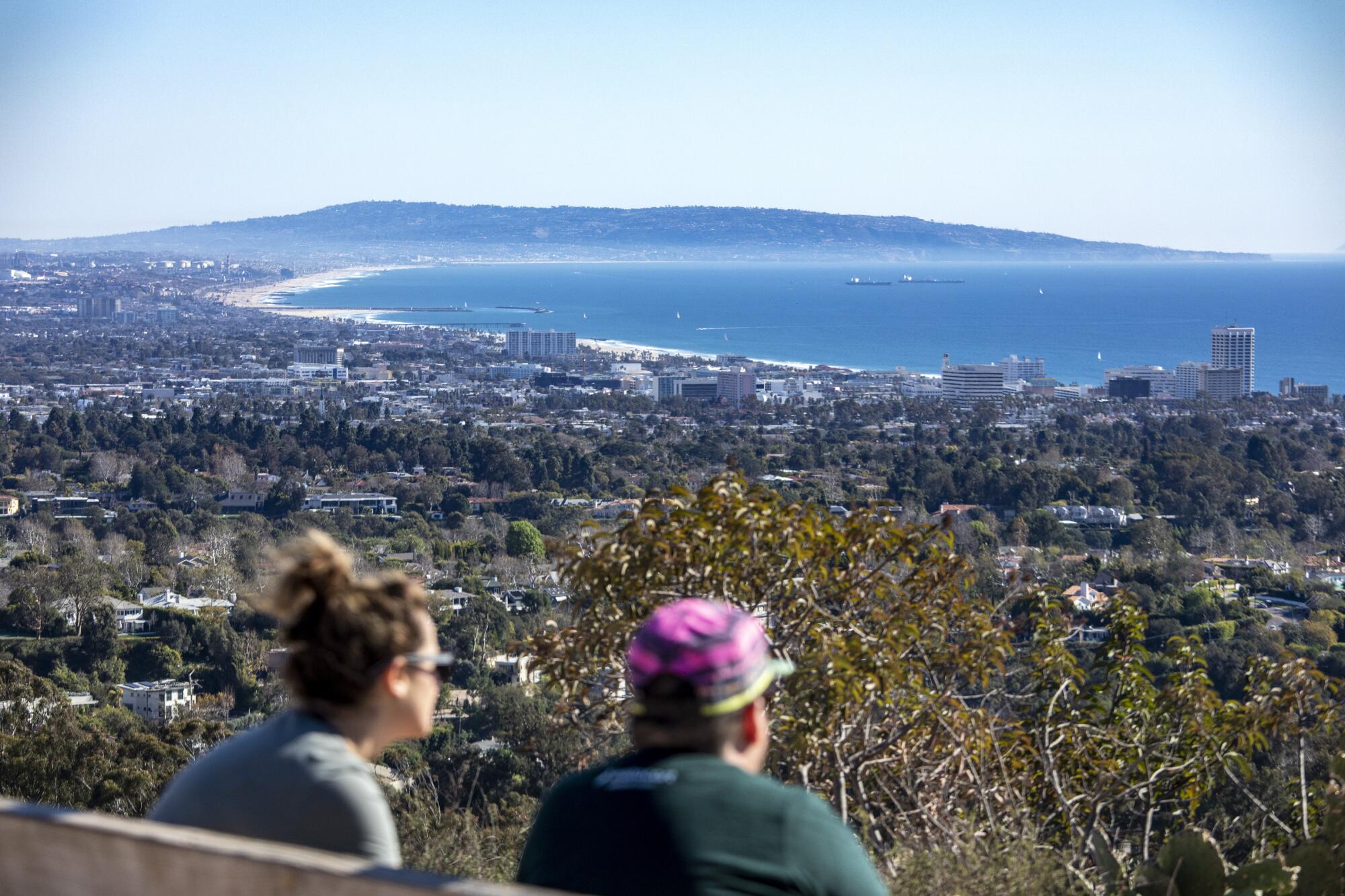
The last segment is a tough one, with 1,500 feet uphill and 1,500 feet downhill, but you’re almost done. It starts at Trippet Ranch and meanders through pretty meadows and woodlands that lead to the spectacular Eagle Rock formation. It’s yours to climb for maybe the last good views in all directions. It’s an ideal place to take a break before following a wide fire road popular with mountain bike riders and descending on the trail to Will Rogers State Historic Park.
Rogers, the columnist and entertainer of the 1920s and ‘30s, built a ranch house here with polo fields. One of Waycott’s favorite quotes of his (Rogers had many homespun sayings): “America’s good fortune can’t possibly last longer than her natural resources.” It’s something to think about at the end of this long trek.
More to Read
Sign up for The Wild
We’ll help you find the best places to hike, bike and run, as well as the perfect silent spots for meditation and yoga.
You may occasionally receive promotional content from the Los Angeles Times.
