11 gravel biking routes around L.A. to get you off the roads - Los Angeles Times
Advertisement
Filters
Map
List
Illustration from a cyclist's point of view, hands clutching the handlebars
(Photo illustration by Susana Sanchez / Los Angeles Times; Getty Images)

Gravel cycling rocks. Here are 11 spots around L.A. that get you biking freely in nature

Share via

It isn’t always easy riding a bike around L.A. Streets weren’t designed with cyclists’ safety in mind and mountain biking trails can be intimidating for those not used to steep inclines.

That’s part of the reason more people are heading to the dirt. They’re embracing gravel riding — sometimes known as grinding — which is something of a cross between road riding and mountain biking that takes place on unpaved roads and trails.

“When I first got a mountain bike, I crashed so much on the trails,” recalled Isabel King, who took up gravel riding during the pandemic and is now a gravel racer in L.A. “A gravel bike ride is a great compromise where you can travel at a slower speed but still get a good workout. You are away from cars and can ride many of the roads you’d do on a trail run.”

Planning your weekend?

Stay up to date on the best things to do, see and eat in L.A.

The activity has been around since the invention of bicycles, which date to the early 1800s when hardly any roads were paved, but its popularity has grown significantly in the last decade. In Southern California, there are thousands of miles of fire roads suitable for pedaling.

Advertisement

Though just about any bike can ride on basic dirt paths, wider tires inflated to lower pressures are best for trickier terrain like unmaintained forest roads and loose sand. Sales of gravel bikes — which generally feature drop handlebars, lower gearing, more clearance, a longer wheel base and sturdier frames than road bikes — increased by more than 60% from February 2020 to February 2022, according to market research firm NPD Group.

Zachary Rynew is a longtime Los Angeles cycling advocate who runs the website Gravel Bike California, which details numerous gravel rides in the region. He has been pedaling two-wheelers since he was in grade school and says riding on gravel roads takes him back to when he was a kid. It also makes navigating L.A. more efficient. “I was commuting from the San Fernando Valley to UCLA and cut my driving time in half by doing gravel and going through Fryman Canyon Park, then Franklin Canyon,” he said.

Southern California, Rynew believes, has a ton of off-road opportunities. “You can make your own adventure on gravel in the Santa Monica Mountains to the San Gabriels and in the hills above Redlands and Chino,” he said. “I love the versatility around here.”

Before you head off the smooth pavement to try gravel cycling, be prepared: Plan out your route, carry a puncture kit and bring water, snacks and extra layers. “Even though gravel in L.A. seems close to civilization, you can still find yourself in some sticky situations,” said Cody Chouinard, a staff member at Luft bike shop in Venice. And start slow: Many people find gravel riding to be more challenging than road riding because of all the different muscle groups that are put to work. Your calves will likely be sore after a ride, sure, but so will your arms, back and core.

Advertisement

Also, whether you’re just getting started with gravel cycling or you’ve been doing it for a while, it’s smart to ride with friends. On various Thursdays in June, Luft leads a group ride on a 25-mile gravel loop through the Santa Monica Mountains. Your local bike shop also may be able to connect you with fellow gravel grinders.

Ready to get off the road? Here are 11 gravel rides around L.A. (some of which include pavement), as suggested by Rynew of Gravel Bike California. They’re listed by difficulty level, from the easiest to the most challenging, and each one links to a Ride With GPS map that you can study and customize.
Showing  Places
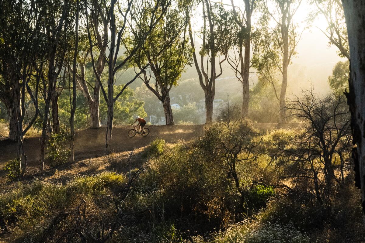
Will Rogers State Park gravel cycling route leads through eucalyptus trees.
(Cody Chouinard / Luft Los Angeles)

Will Rogers State Park

Pacific Palisades Mountain Trail
2.0-mile loop
Easy
282
Will Rogers State Park offers a short but robust loop, starting at the preserved residence of the namesake American humorist. Circling around, you’ll find much of the sprawling ranch intact. (You can even take a guided tour on Thursdays, Fridays and weekends, or catch a video in the visitors center that features Rogers’ remarkable roping skills from the 1922 silent film “The Ropin’ Fool.”) From there, the route is lined with eucalyptus trees and peaks at Inspiration Point, where you’ll get a view of the Pacific Palisades along the ocean. Here’s the full route map.
Read All Read Less
Route Details
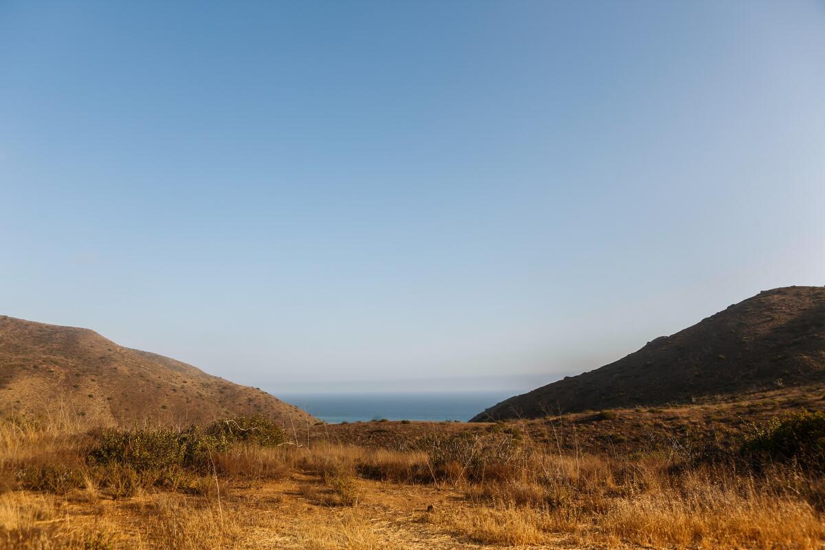
An opening between brown hills, a.k.a. sycamore savanna, with a view to the distance
(Maria Alejandra Cardona / Los Angeles Times)

Sycamore Canyon, Point Mugu State Park
Mountain Trail
15.3-mile out-and-back
Moderate
892
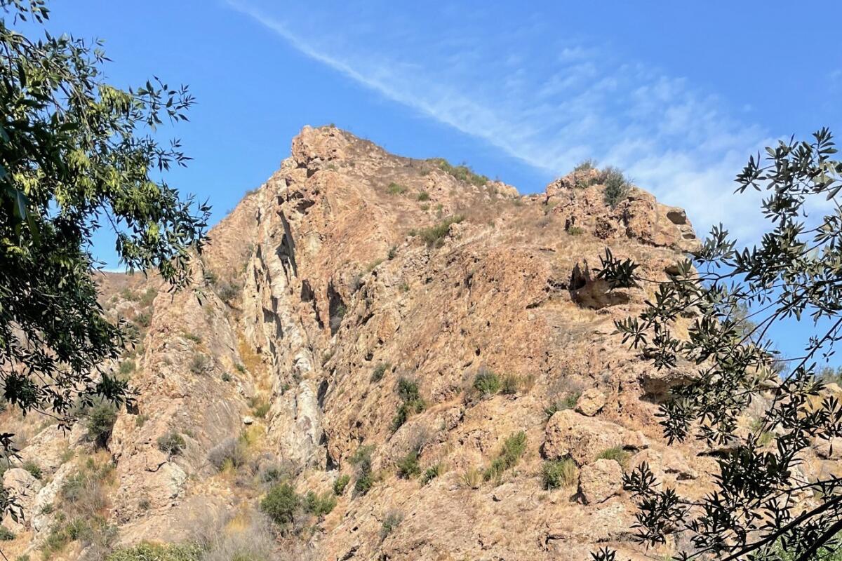
Zachary Rynew says he always sends starters to Sycamore Canyon in the “gravel playground” that is Point Mugu State Park. The light grade, cooler temperatures and favorable conditions make it a great place to get a feel for dirt roads. Stop at the turnaround for the Boney Mountains to the east. Adding Wood Canyon turns it into a loop for those wanting to take the next step of undulations. There will be water crossings at certain times of the year. Here’s the full route map.
Read All Read Less
Route Details
A rocky hillside reflects in smooth water at Century Lake Dam at Malibu Creek State Park.
(Mary Forgione / Los Angeles Times)

Malibu Creek State Park

Calabasas Mountain Trail
14.1-mile loop
Moderate
992
There’s a lot of eye candy here — oak woodlands, the Rock Pools swimming hole, Century Lake — making this loop feel shorter than the numbers. After crossing the creek, there’s a rocky but flat half-mile single track to negotiate before you land upon the famed “MASH” filming site as a reward. (Signs of the partially restored set include a medical jeep with a red cross painted on the side and the famed directional signpost with arrows pointing to destinations from Boston to Tokyo to Toledo.) Here’s the full route map.
Read All Read Less
Route Details
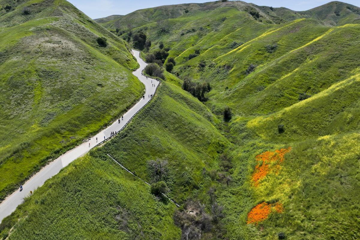
A trail through green hills with orange poppies blooming below
(Allen J. Schaben / Los Angeles Times)

Chino Hills State Park

Brea Mountain Trail
17.6-mile loop
Moderate
2,135
Chino Hills State Park offers a number of options for every ability. The mostly dirt route is a must-do during the spring and early summer to experience the most sought-out blooms in Southern California. Ride through a lovely wooded riparian area and stop at the Telegraph Canyon lookout at the turnaround for one of the trail’s better views. Here’s the full route map.
Read All Read Less
Route Details
Advertisement
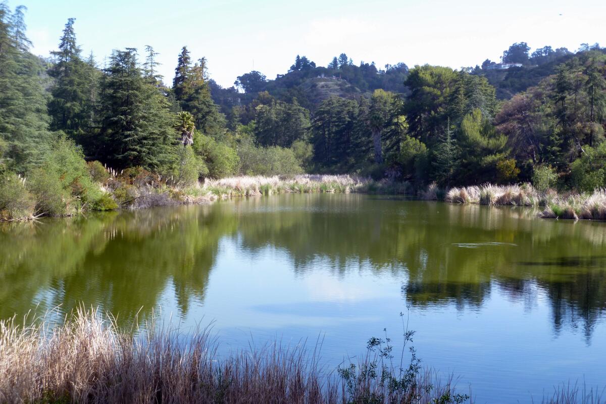
Upper Franklin Reservoir, famous as the old "fishin' hole" from "The Andy Griffith Show," is surrounded by trees.
(Charles Fleming / Los Angeles Times)

Wilacre and Franklin Canyon parks, Studio City
Studio City Mountain Trail
13.6-mile loop
Moderate
1,606
A number of short, fun trails fall inside Wilacre and Franklin Canyon parks in the geographic center of Los Angeles County. For commuters, the dirt provides a much faster option for getting over the hill than driving in rush hour traffic. Don’t miss rolling by the Franklin Reservoir, where the opening to “The Andy Griffith Show” was filmed. Here’s the full route map.
Read All Read Less
Route Details
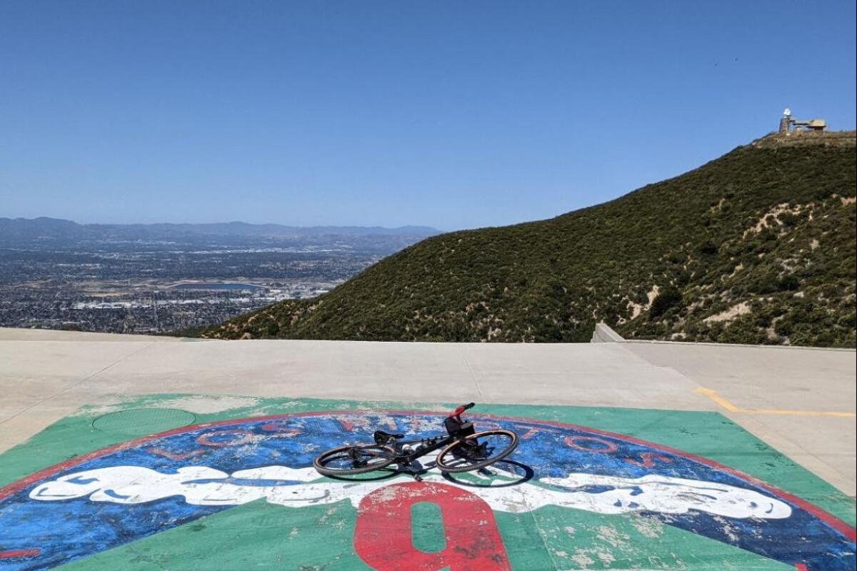
May Canyon gravel cycling route includes former Nike missile sites.
(Zachary Rynew / Gravel Bike California)

May Canyon, Angeles National Forest

San Fernando Mountain Trail
28.5-mile out-and-back
Moderate
4,191
After a steep start, this closed road sees the pavement break down into rugged gravel conditions. At the top, stop at Fire Station Camp 9, a popular resting spot that was once one of 16 Nike missile sites during the Cold War. There, you can refill your water bottle, see an occasional helicopter landing and take in views of the Angeles National Forest. Here’s the full route map.
Read All Read Less
Route Details
Dirt Baldy gravel cycling route winds through scrub and boulders.
(Zachary Rynew / Gravel Bike California)

Dirt Mt. Baldy

Mountain Trail
34.7-mile out-and-back
Strenuous
7,095
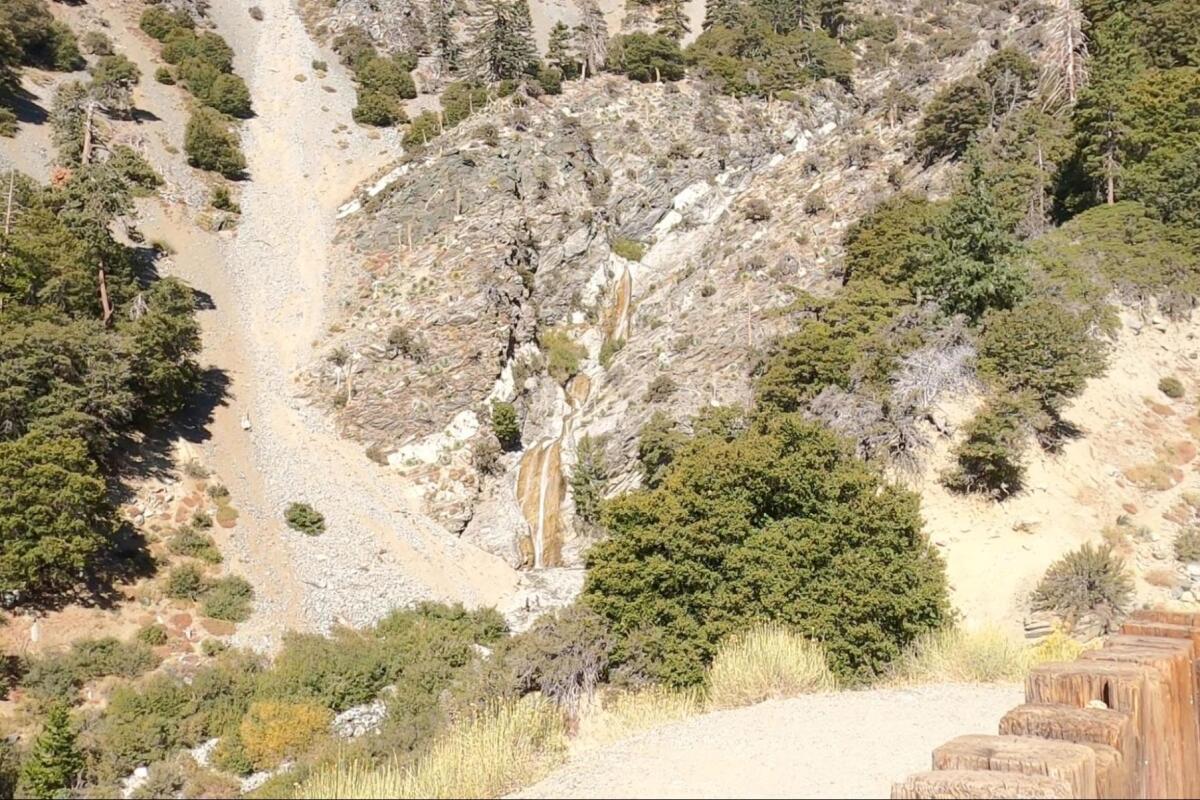
This road climb is well known for providing some of the most dynamic moments in the Tour of California, the now-defunct road cycling stage race. Before reaching the end of pavement, you can choose to extend your ride with a three-mile dirt climb on a fire road, which stops by San Antonio Falls and takes you up to Mt. Baldy Ski Lodge. There, have lunch (you could even take the chairlift to Top of the Notch restaurant) and enjoy the views. Here’s the full route map.
Read All Read Less
Route Details
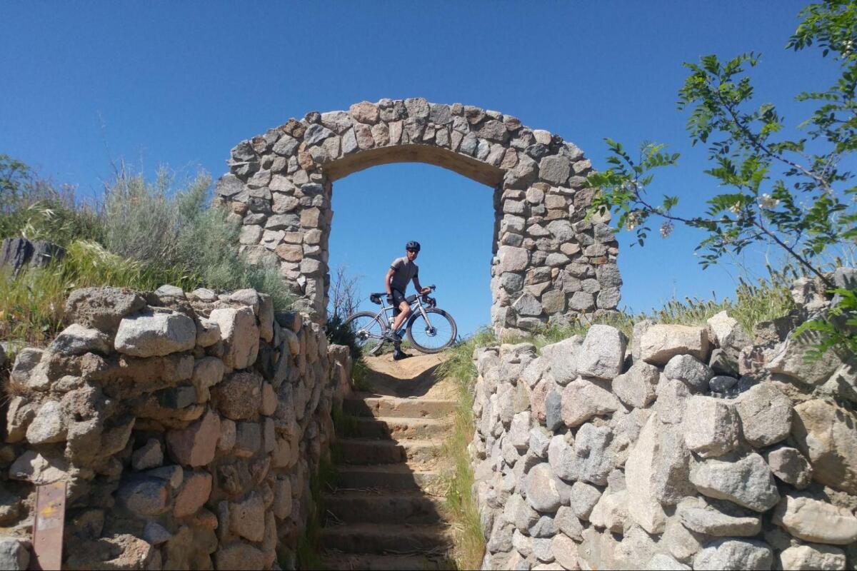
A cyclist poses under an old stone arch at the top of a short flight of steps.
(Zachary Rynew / Gravel Bike California)

Old Ridge Route, Angeles National Forest
Mountain Trail
68.0-mile loop
Strenuous
7,524
This century-old road was the first to bring travelers from Los Angeles to the Central Valley — and the number of precarious curves shows the limits of engineering at the time. Only minimally maintained, the loop is best taken on with skinnier tires. Don’t miss getting a photo under the iconic stone archway at the north end of State 138. It’s a restored relic of the Tumble Inn, a small lodge that existed in the 1920s and ’30s. Here’s the full route map.
Read All Read Less
Route Details
Advertisement
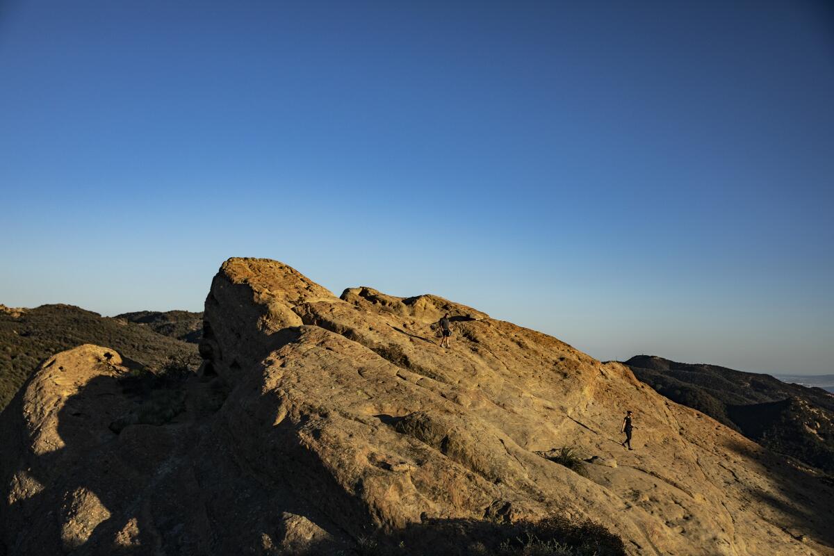
Hikers descend from the tip of Eagle Rock along the Backbone Trail in Topanga State Park.
(Brian van der Brug / Los Angeles Times)

Topanga State Park

Santa Monica Mountain Trail
26.3-mile loop
Strenuous
3,513
With a start on the smooth, paved Marvin Braude Bike Trail, this route soon becomes rugged as you pedal through Southern California’s natural chaparral forests. Thanks to the versatility of gravel cycling, you can choose a number of routes around Topanga State Park and the Santa Monica Mountains to extend your ride. The Paseo Miramar Loop includes such staples as Eagle Rock, Dirt Mulholland and the Nike Missile Base, where there are water fountains and restrooms. Here’s the full route map.
Read All Read Less
Route Details
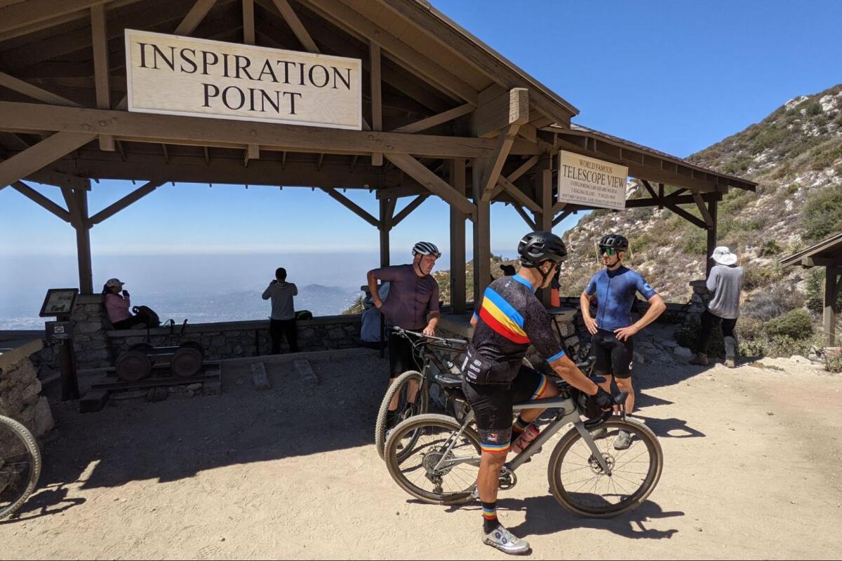
Bikers at an overlook with a wooden structure labeled Inspiration Point
(Zachary Rynew / Gravel Bike California)

Mt. Lowe, San Gabriel Mountains

Altadena Mountain Trail
26.4-mile loop
Strenuous
4,786
Not just a beautiful climb but a history lesson, with a number of placards commemorating the former 19th century rail line to Alpine Tavern and over to Inspiration Point. Before approaching the Mt. Wilson Toll Road, a historic roadway, stop at the world-famous observatory and snack at the Cosmic Cafe, which is open through November.
Read All Read Less
Route Details
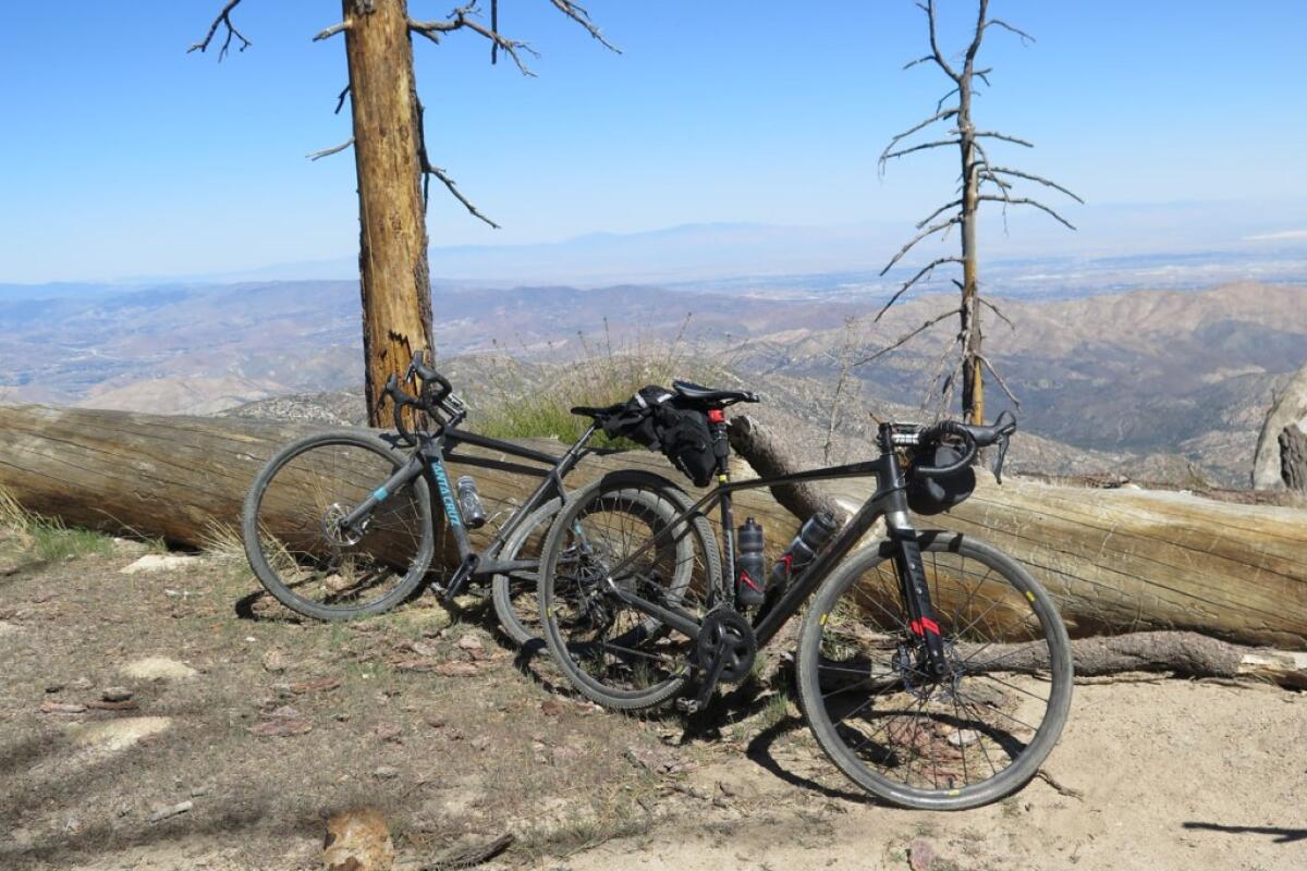
Bicycles lean against a fallen tree, with scrawny trees and rolling hills in the background
(Zachary Rynew / Gravel Bike California)

Pacifico Mountain

Angeles Crest Mountain Trail
39.1-mile loop
Strenuous
5,134
This strenuous 39-mile loop shows that you can be so close to L.A. — the route is just a 40-minute drive from Pasadena — yet feel so far away. You’ll find pines, giant boulders, panoramic vistas and wildflowers in the spring. Reaching nearly 8,000 feet at the top, take a moment to gaze west to the Los Padres Forest above Santa Barbara and to the Eastern Sierra to the north by Mt. Whitney. Note that you’ll need an Adventure Pass to park in the Angeles Natural Forest. Here’s the full route map.
Read All Read Less
Route Details
Advertisement