Winds topping 115 mph hit Southern California; 1 killed when tree falls on car
Wind gusts topped 61 mph in Beverly Hills, 40 mph in Venice and 80 mph in Angeles National Forest on Sunday and continued to be strong on Monday morning.
A powerful storm moved into Southern California on Sunday, bringing unusually strong winds of up to 70 mph to Los Angeles and Ventura counties.
Officials warned that the storm is forecast to bring heavy rain and a risk of flash floods, especially in recently burned areas that could see mud flow down hillsides.
Strong winds were expected to cause flight problems at Los Angeles International Airport, and forecasters said there was enough instability aloft that there could be a 36% chance of thunderstorms in parts of the L.A. area. Waterspouts and even weak tornadoes are possible.
“The winds may well turn out to be the defining feature of this system,” the National Weather Service said Sunday morning.
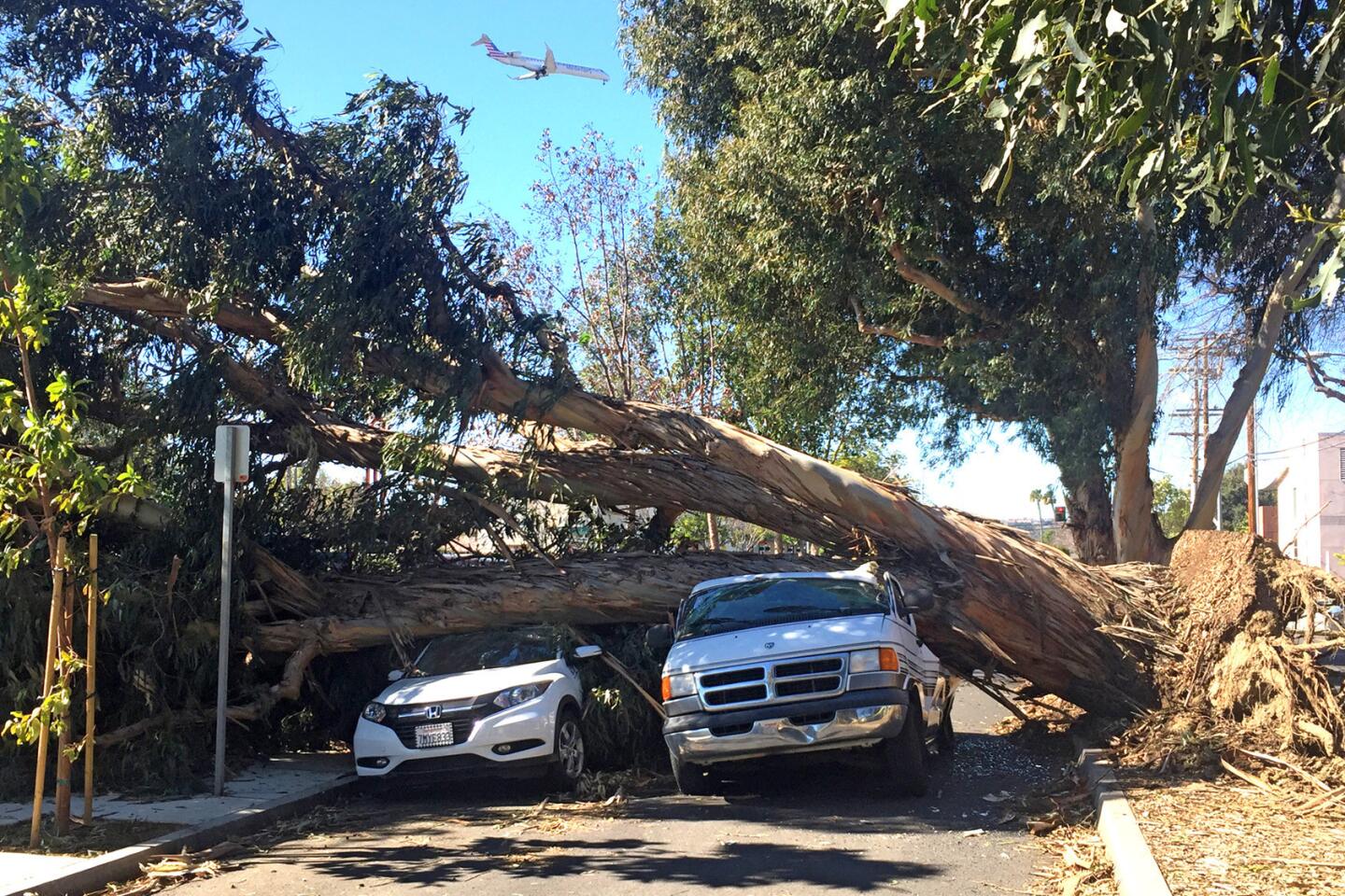
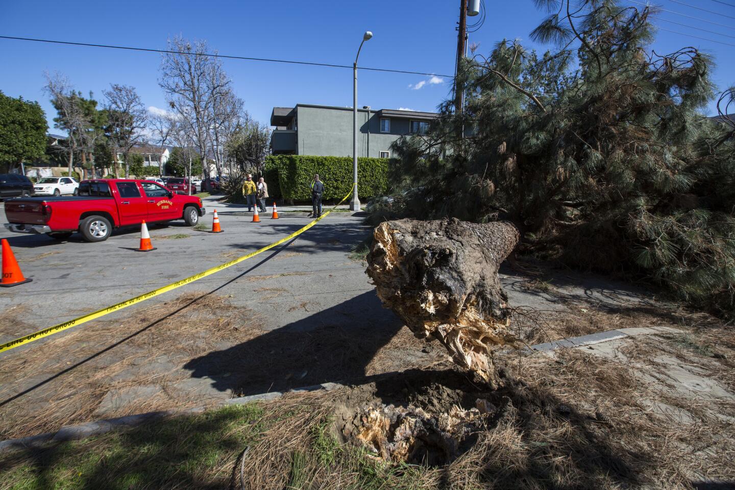
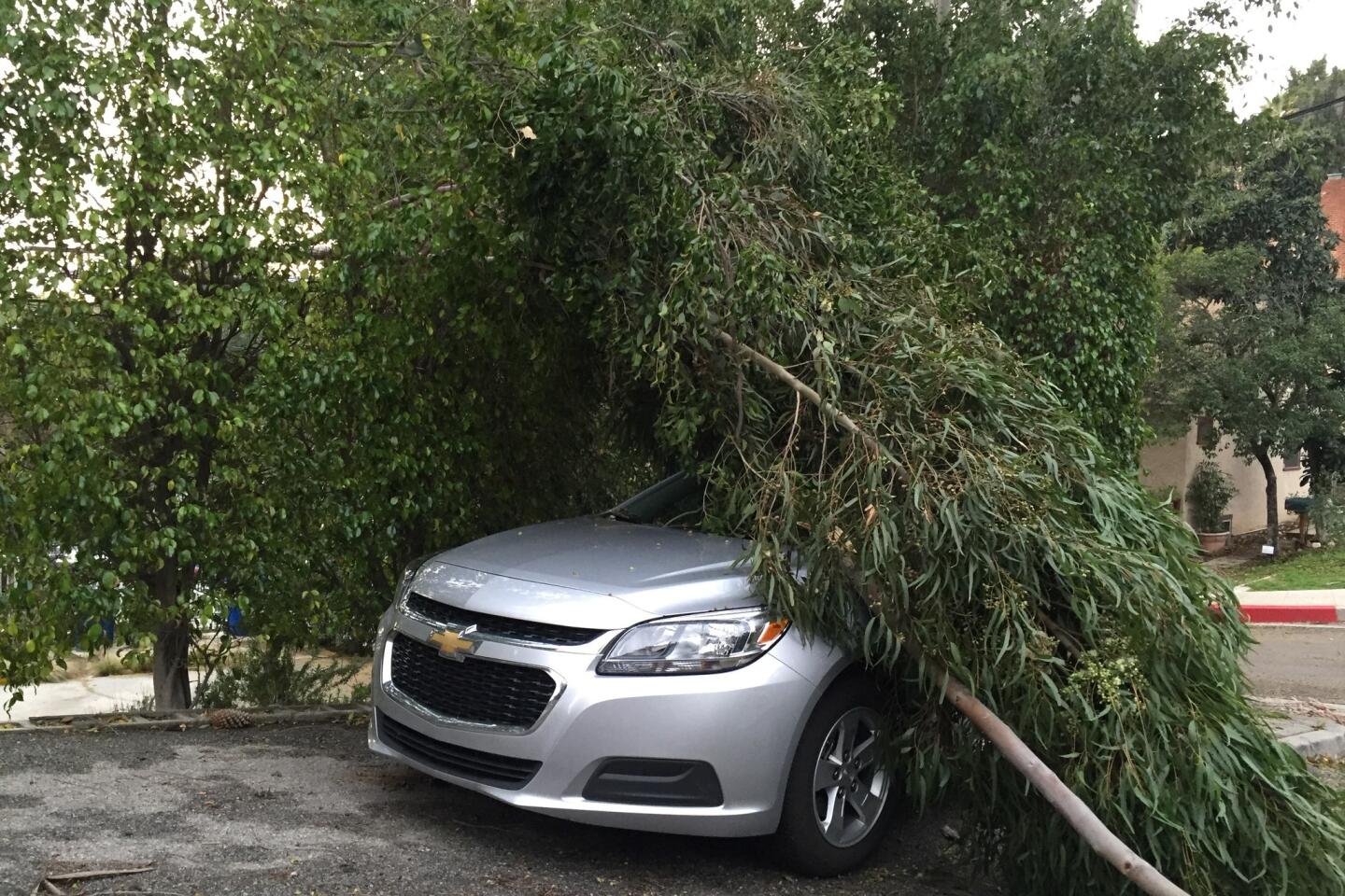
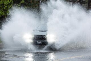
By Sunday afternoon, the storm had dropped moderate rain -- a little more than one inch in Beverly Hills and less than half an inch in downtown L.A. But the winds were another story. Wind gusts topped 115 mph at Whitaker Peak (located north of Castaic along Interstate 5), 69 in Porter Ranch, 65 mph in Malibu Canyon, 61 in Beverly Hills and 50 in the Whittier Hills. It was more than strong enough to knock down trees, down power lines and even push over a light standard.
Join the conversation on Facebook >>
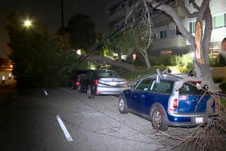
In San Diego, a large tree fell on top of a car in Pacific Beach, killing a woman inside, a fire official said.
The tree, which had a diameter of about 6 feet, fell in front of a house on Ingraham Street near Fortuna Avenue about 3:15 p.m., San Diego-Fire Rescue Capt. Joe Amador said. It crashed onto three parked cars, and a fourth car that was passing by.
Firefighters determined the driver of the passing car was killed.
As of 5:30 p.m., 41,000 customers of the Los Angeles Department of Water and Power had lost electricity because of downed power lines. The neighborhoods most heavily affected, include East Hollywood, Mid-Wilshire and Palms.
Crews are working to restore power to those homes and have already done so for more than 8,000 customers since the storm began.
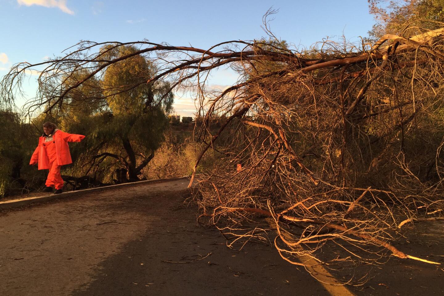
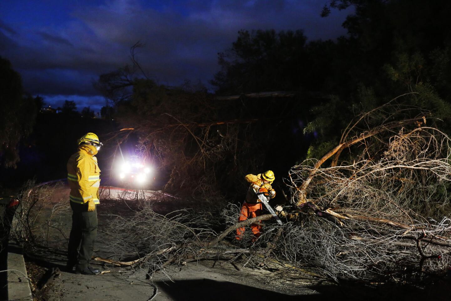
Fallen trees and power lines jammed traffic on several roads. California 58 was closed between Mojave and Keene.
Trees also fell onto the 134 Freeway near Pass Avenue in Burbank, blocking several lanes.
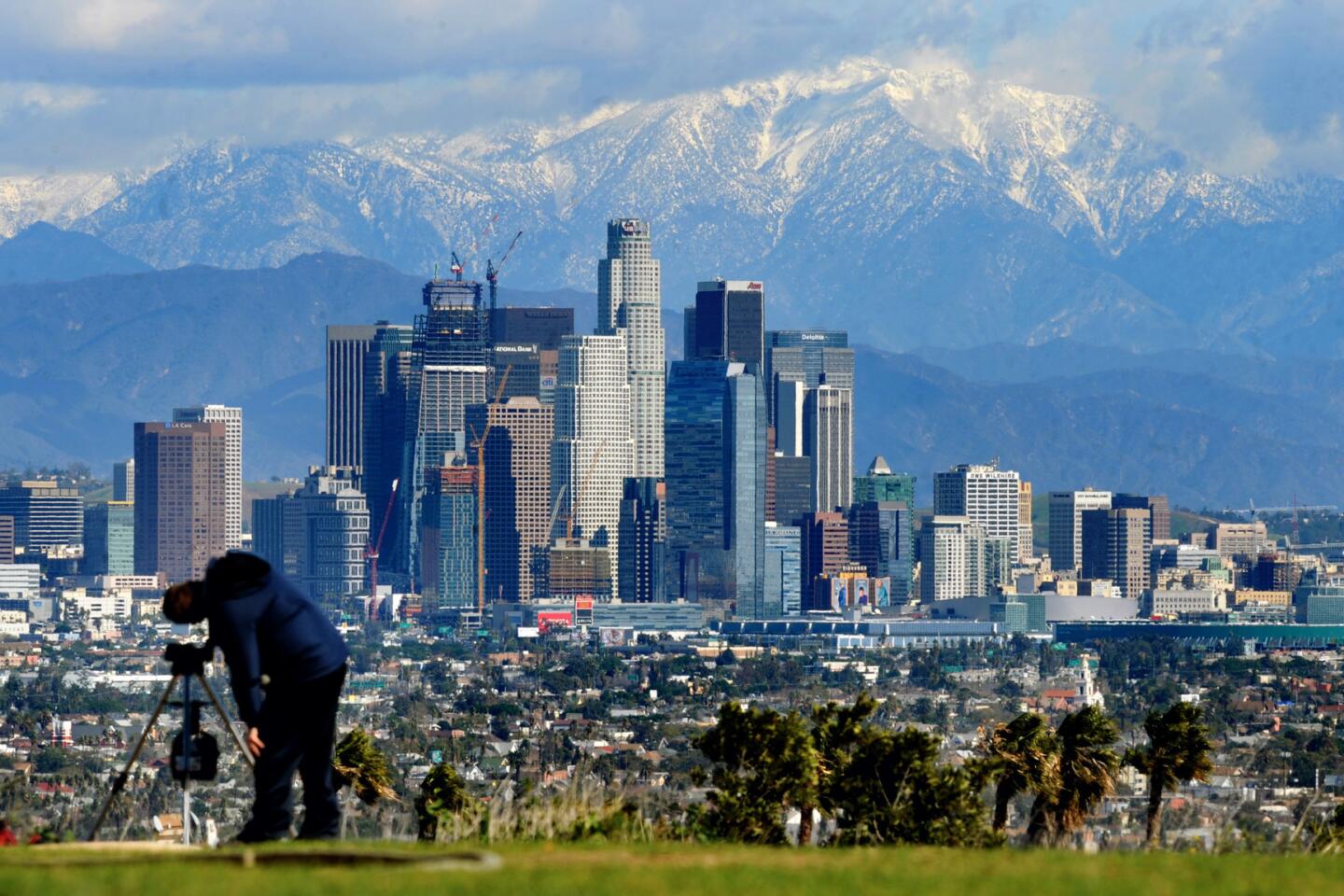
Light snow was also reported on the Grapevine and on the Antelope Valley floor near Palmdale, according to the weather service.
The weather service advised boaters to stay in port through Monday if possible. “Seas will be very high -- choppy and dangerous,” the agency said.
The storm is expected to be as strong as the formidable weather system that hit Los Angeles the first week of January, and to carry even stronger winds, National Weather Service meteorologist Rich Thompson said.
“A bunch of different ingredients are coming together for a pretty impressive event,” Stanford University climate scientist Daniel Swain said on his blog.
Heavy rain was pounding northwestern Santa Barbara and Ventura counties shortly before 11 a.m. Rain was falling at rates of 0.75 inch to 1 inch per hour at San Marcos Pass on California 154 northwest of Santa Barbara, officials said. There were reports of street flooding in San Luis Obispo.
The weather service issued a flash flood warning for northwestern Ventura County and southeastern Santa Barbara County for midday Sunday, and forecasters said flash flooding is possible in recently burned areas throughout Southern California.
A severe thunderstorm warning was issued about 12:30 p.m. for northwestern Los Angeles County and northeastern Ventura County. Winds of up to 60 mph were reported in the Santa Paula area.
Rainfall rates of half an inch per hour are “just enough to bring” mud, rocks and tree branches rushing down hillsides in areas that have recently burned, the weather service said. Thunderstorms could bring even faster rates of rainfall that are “more than enough to produce flash floods [and] debris flows over the recent burn areas,” the agency said.
Forecasters said Los Angeles and Ventura counties could see one to two inches of rain by Sunday evening, and as much as three inches could fall in some mountain areas; the Grapevine section of Interstate 5 could see three to six inches of snow in the Gorman area by early Monday morning.
There’s “definitely a lot of wind, rain and snow, so definitely a significant storm for this time of year,” Thompson said.
All southbound lanes on Interstate 5 near Smoky Bear Road, several miles south of the Grapevine summit, were shut down Sunday morning after a truck overturned, said CHP Officer Monica Posada. No one was injured in the incident, and vehicles were being allowed through via the center divider.
The lanes will remain closed until further notice, Posada said.
Shortly after 10:30 a.m., a Los Angeles Fire Department swift-water rescue team was dispatched to the Los Angeles River near 4th Street and retrieved a man and his bicycle from the embankment, said Brian Humphrey, a spokesman for the department. The man, who appeared to be in his 40s, was uninjured.
“He was not in immediate peril but he eventually would have been,” Humphrey said.
On the upside, the Big Bear area was set to welcome a heavy snow. Ski resorts there were expected to see nine to 13 inches, with an additional three to five inches expected overnight, according to Clayton Shoemaker, marketing director for Big Bear Mountain Resorts.
“With the weather we’ve gotten this season, and the lack of snow the past few years, people are definitely excited to come up here and take advantage of the awesome conditions,” he said.
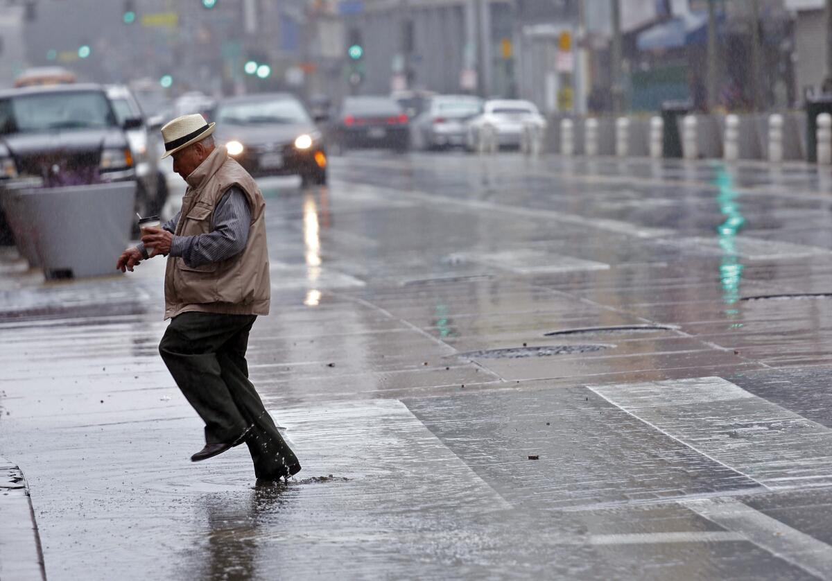
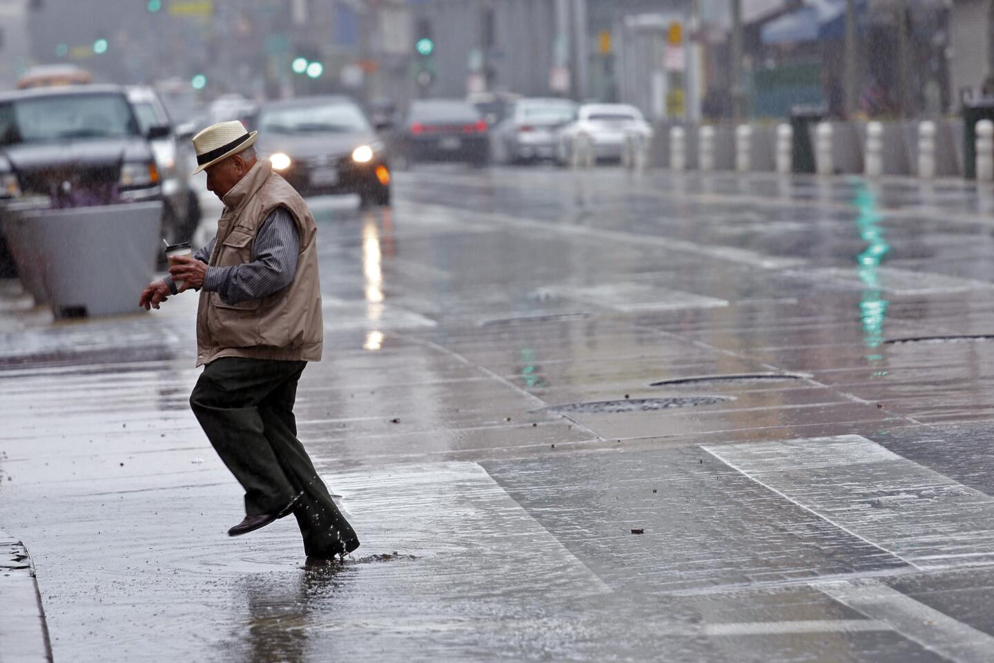
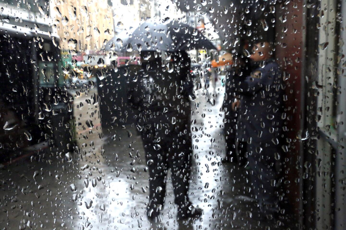
A man jumps a puddle along Broadway in downtown Los Angeles on Sunday.
In contrast to typical storms that develop far from California, this one developed unusually close -- just 500 miles west of Santa Barbara, said Swain, the Stanford climate scientist, in his blog post on the California Weather Blog.
The relatively swift development of the system “is somewhat unusual, though it tends to be more common during strong El Niño years when a strong jet stream resides over or just south of Southern California,” Swain said.
Reporter Lyndsay Winkley contributed to this story. Winkley writes for the San Diego Union-Tribune.
Follow me for the latest news in earthquake safety, El Nino, and the drought: @ronlin
ALSO
O.C. Sheriff’s Department examines what went wrong as fugitives return to jail
Obama invites L.A. teen with perfect AP Calculus exam score to White House Science Fair
High-pressure mass above Southern California keeps brunt of El Niño away
