Climate change is helping crank up the temperatures of California’s heat waves

California suffered through its hottest July on record, while August has pushed sea-surface temperatures off the San Diego coast to all-time highs.
Are these punishing summer heat waves the consequences of global warming or the result of familiar weather patterns?
The answer, scientists say, is both.
Climate change is amplifying natural variations in the weather. So when California roasts under a stubborn high-pressure system, the thermometer climbs higher than it would in the past.
“What we’re seeing now is the atmosphere doing what it has always done. But it’s doing it in a warmer world, so the heat waves occurring today are hotter,” said Park Williams, an associate research professor at Columbia University’s Lamont-Doherty Earth Observatory. “We can expect that to continue.”
Though a weak to moderate El Niño, marked by warming ocean temperatures, may develop this fall and winter, scientists say it’s not at play now.
MORE: Many parts of Southern California broke heat records for July »
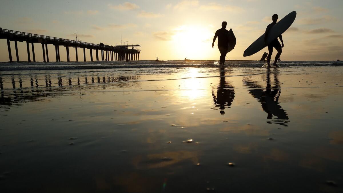
Art Miller, a research oceanographer at Scripps Institution of Oceanography, pointed to the high-pressure system as the immediate cause of the record-shattering sea surface temperatures recorded this month off Scripps Pier, where researchers have been taking daily temperature measurements since 1916.
On Aug. 1, a thermometer plunged into a bucket of sea water hit 78.6 degrees, breaking a 1931 record. On Aug. 9, the water temperature was 79.5 degrees.
The massive high-pressure dome hanging around the West shut down the northerly winds that typically cause an upwelling of colder, deeper sea water off the Southern California coast, Miller said.
The layer of warm water is relatively thin, 30 to 60 feet deep, and peters out along the Central Coast. North of Santa Barbara, surface waters are actually cooler than normal.
Underlying the regional conditions is the past century’s roughly 1.8-degree increase in global ocean temperatures.
“This is the type of activity we expect to occur when you run together natural variations in the system with a long-term trend” of warming, Miller said, referring to the record-busting at Scripps Pier. “I’m not surprised.”
Global warming is expressed “in fits and spurts,” Williams said. From 1999 to 2014, the planet’s oceans stored much of the extra warmth generated by heat-trapping greenhouse gases. Global air temperatures were relatively stable. Then in 2015-16, strong El Niño conditions unleashed that extra heat.
The planet is feeling the effects.
“We’re in one of those hot clusters of years,” Williams said.
It could be followed by a period of stable temperatures that in turn is trailed by another period of rapid warming.
“In a few years we’ll be used to the type of heat waves we’re seeing this year” only to be shocked when continued climate change makes them even hotter, Williams predicted.

On July 6, all-time temperature records were set at UCLA (111), Burbank and Santa Ana (114), and Van Nuys (117). Chino hit 120 degrees. Scorching temperatures in Northern California helped fuel raging wildfires, including the Mendocino Complex, which has seared its way into the record books as the largest wildfire in the state’s modern history.
“This is not all about climate change. But climate change is having an influence and exacerbating the conditions,” said Kevin Trenberth, a senior scientist at the National Center for Atmospheric Research.
Some climate scientists have suggested that global warming is promoting atmospheric changes that favor the formation of the kind of persistent high-pressure system that has driven up temperatures this summer.
But Williams said climate change models have yet to confirm that. Researchers have also failed to detect a global trend of more prolonged ridging patterns, he added.
“I personally don’t think the current ridge is a function of climate change,” Williams said. “The atmosphere has a mind of its own.”
The federal Climate Prediction Center last week forecast a 60% chance of El Niño developing this fall and a 70% chance by winter.
El Niño is characterized by warming surface waters in the east-central tropical Pacific and often warmer-than-average air temperatures in the West. But across most of the Pacific, the temperature of equatorial surface waters is near average, according to the climate center’s Aug. 13 report.
“There is little indication El Niño will be more than weak or modest,” said Nick Bond, a research scientist with the National Oceanic and Atmospheric Administration and the University of Washington.
El Niño can deliver a wet winter to Southern California, but Bond said this year’s would probably be too meek to do that.
The climate center’s three-month forecast predicts above-average temperatures for most of the country, including California. The Southland has gotten a break from blistering temperatures this week, but a high-pressure ridge is expected to return.
“It looks like August is going to be a hot month,” Bond said.
Twitter: @boxall
More to Read
Sign up for Essential California
The most important California stories and recommendations in your inbox every morning.
You may occasionally receive promotional content from the Los Angeles Times.


