Montecito braced for fire, but mud was a more stealthy, deadly threat
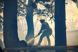
Reporting from MONTECITO, Calif. — When the Thomas fire swept down from the Los Padres National Forest and took aim at this coastal town in December, the looming disaster was impossible to miss.
Powerful winds picked up, smoke shielded the sun and brought an eerie darkness to the landscape, and towers of flames could be seen in the distance. Thousands of residents fled as what would become the largest fire on record in California pushed to the Pacific Ocean. More than two dozen homes were lost or damaged in the area, but no one died in the town.
For the record:
12:35 p.m. Jan. 13, 2018An earlier version of this article reported that more than two dozen homes in the Montecito area were lost in the Thomas fire. That figure refers to the number of homes that were damaged or destroyed.
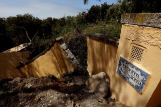
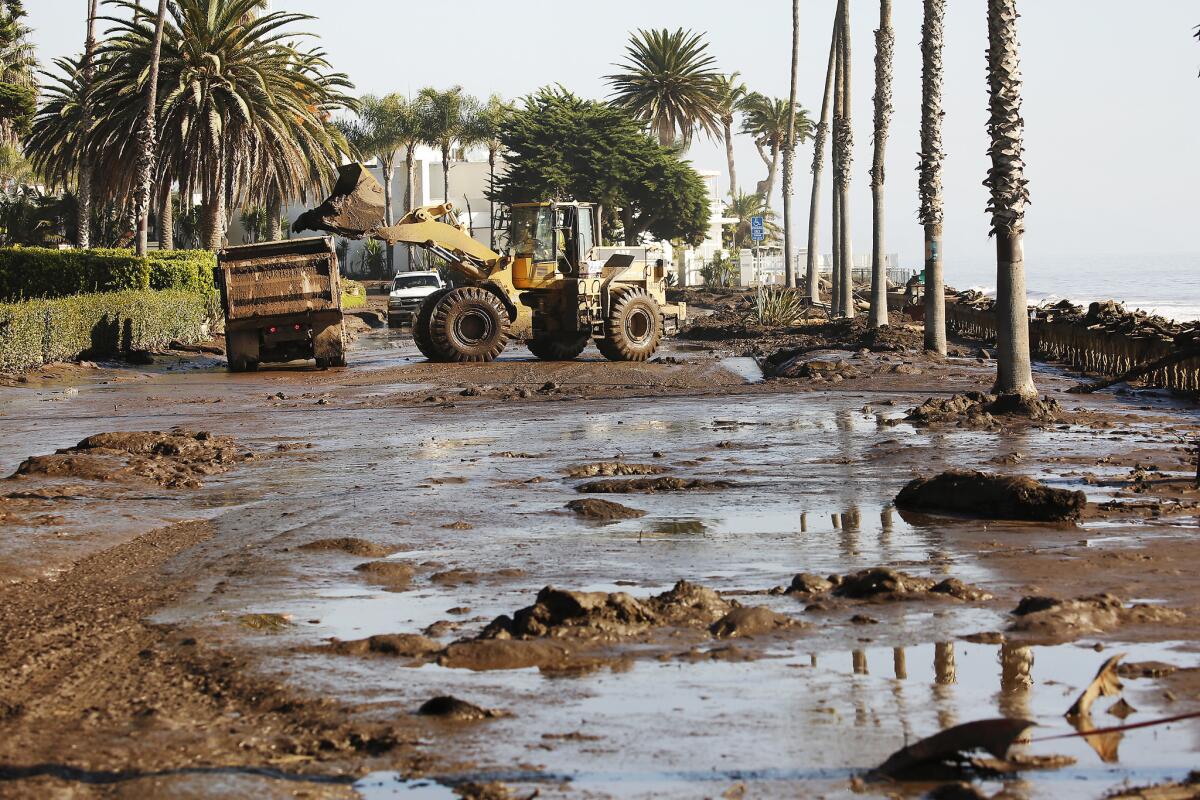
The mudslides that followed the fire this week were a much more stealthy and ultimately lethal threat. Though residents had been warned about heavy rain and potential debris flows, many took the threat far less seriously than the fires. And when the earth started moving, there was nowhere to run.
Rethinking mudslide response
The Montecito mudslides killed at least 18 people, with five still missing, making it the deadliest flooding event in California in decades. It’s likely to spark rethinking about how government agencies handle evacuations and warnings about the coming threat. Many of those killed lived in areas that were under only voluntary evacuation orders because officials didn’t believe the mudslides would travel so far south toward the ocean.
The destruction in Montecito underscores how little margin of error there is in dealing with a mudslide because once a debris flow begins, it’s extremely difficult to get out of the the way, said Richard Rudman, vice chairman of the California Emergency Alert System.
Some unofficial estimates have placed the mudflow at 20 mph, faster than most people could run. And many residents had no idea the mud was coming their way until it slammed into their homes.
“This is not a fire that you can watch slowly and see if it’s coming,” said Jeff Gater, Santa Barbara County’s emergency manager. “It’s going to come during the dark. You’re not going to be able to see it. It happened exactly that way.”
First responders agreed, saying that by the time the 911 calls started rolling in, there was little they could do.
“The event happened. People were just gone. It was the middle of the night so there weren’t witnesses saying, ‘I saw people getting swept away. Send help,’ ” said Andy Rupp, a firefighter with the Montecito Fire Protection District.
When firefighters reached the scene, the depth of the disaster was staggering.
“When you look at mud, it’s 20 feet high,” said Montecito Fire Capt. Ben Hauser.
County officials have defended their preparation for the mudslides, pointing to extensive outreach in days before the rains hit.

Voluntary evacuations in hard-hit areas
Santa Barbara County issued mandatory evacuation orders for about 7,000 people living north of Highway 192 in areas closer to where the Thomas fire had burned. Voluntary orders were issued for 23,000 others as the storm approached. Many residents in both zones disregarded the warnings and stayed in their homes.
Santa Barbara County Sheriff Bill Brown said the evacuation maps were created by a group of local, state and federal emergency and water officials. The zones mirrored the evacuation areas the county used for the Thomas fire. They knew the rains would be bad. The totals — more than 2 inches — hit the National Weather Service estimates. But the rain fell in much more intense bursts than expected, creating a once-in-200-years event that caused burn areas to dissolve into walls of mud and debris.
“The really sad part in all this is they were spot-on in terms of prediction that there was going to be an incident,” Brown said. “The difficulty really comes in the fact that what they said was going to occur actually did occur. It just occurred much more intensely than what was anticipated.”
Indeed, fire and emergency response officials reviewed maps before the mudslides that showed with remarkable accuracy how a devastating mudflow would cover neighborhoods down to the 101 Freeway and beach. The maps were created from water data from the County of Santa Barbara and were circulating at least a day before the mudflows came, said Montecito Fire Protection District Battalion Chief Scott Chapman. The maps showed what epic 100-year and 500-year floods could do to Montecito.
Chapman said the flooding and flows foretold by the map are mostly accurate, with the exception of a small patch of homes by the 101 Freeway and Montecito Creek, which were not as flooded as the map would have predicted.
“Even expecting the worst and planning for the worst, no one expected this,” he added.
It’s unclear how much these maps were shared with the public.
As the storm got worse early Tuesday morning, the National Weather Service sent out repeated alerts of imminent flash flooding. But for reasons that remain unclear, those bulletins did not reach everyone in the vulnerable areas, county officials said. It wasn’t until 3:50 a.m. Tuesday that Santa Barbara County officials sent an alert through a federal wireless system that buzzes every cellphone within range of a working tower, just like an Amber Alert. By then, the mudflows had begun.
Improving the system
Rudman said the outcome shows the clear need to improve how agencies and residents prepare for the potential of mudslides. Part of the problem, he said, is that the warnings officials did provide did not get people out of their homes.
“The usual measure of effectiveness is what actions it makes people take to protect their homes and lives,” he said.
Many mudslide survivors admitted they stayed in their homes because they doubted the rains would cause widespread disaster and that they were unwilling to evacuate again just weeks after fleeing the fires.
Jonathan Schwartz, 29, decided not to evacuate — a decision he said was made too casually. When the rain and mud and rock came crashing through his family’s neighborhood along Lilac Drive in Montecito, he felt a singular terror.
“You saw the mud start to rise outside and feel the ground shaking,” Schwartz said.
He said he was aware of the warnings but that the level of danger didn’t sink in.
“They did give people notice,” Schwartz said. “But when people hear ‘flash flood’ they think, ‘water. Maybe we’ll get wet.’ They are not thinking of landslides.
“I think nobody predicted the severity. Well, they did,” he added. “We were just cavalier about it.”
Times staff writers Louis Sahagun in Montecito and James Queally in Los Angeles contributed to this report.
More to Read
Sign up for Essential California
The most important California stories and recommendations in your inbox every morning.
You may occasionally receive promotional content from the Los Angeles Times.
