Creating online geography game Globle was relatively simple. Making it accurate is the real puzzle

The geography quiz game Globle was a product of quarantine boredom, its popularity a happy side effect.
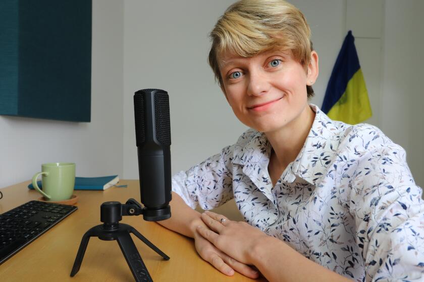
While stuck working from home during the COVID-19 pandemic, Abe Train, 26, of Toronto, decided to study web development, quit his corporate job and try something new. Inspired after the simple web-based word game Wordle gained widespread popularity in January, Train created an imitator just to practice his skills.
Globle’s rules are simple: “Every day, there is a new Mystery Country. Your goal is to figure out the mystery country using the fewest number of guesses. Each incorrect guess will appear on the globe with a colour indicating how close it is to the Mystery Country.” If the mystery country is Germany and you guess China, China appears in pale beige on the globe, indicating the correct answer is far away. A guess of France — getting closer! — appears in dark red. Winning requires a fairly decent knowledge of the names of the world’s nearly 200 countries, a sense of where they are and, just as important, who their neighbors are.
As in life, learning from wrong answers is a key part of finding the right ones, and to Train’s surprise, a lot of people decided his home-cooked practice project was an easy way to brush up on their geography. After picking up traction on Reddit and then Twitter, Globle now averages about 1.3 million to 1.4 million players a day, according to Train, who has declined to place ads on the game. “My favorite messages to get are from teachers,” Train said. “Every so often I’ll get something like, ‘Thank you from the grade seven geography class in so-and-so, Virginia.’”
But in the process of creating the game to practice his web skills, Train learned something else that he wasn’t expecting: Many national borders are in different places to different people, and the act of creating a single world map for a universal web audience is so politically fraught that some tech giants long ago gave up trying.
“Anybody trying to make a world-scale map runs into this issue,” said Sterling Quinn, an associate professor of geography at Central Washington University who studies digital maps and society. Since the days of paper maps and desktop globes, countries and cartographers have disagreed about sovereignty and where borders fall. Digital maps just made those arguments more, well, global.
Microsoft’s Windows 95 originally was banned in India because the operating system’s world map depicted the region of Kashmir as disputed rather than belonging to India. In 2009, Google laid out its own logic for navigating disputes on Google Maps, writing in a blog post, “In all cases we work to represent the ‘ground truth’ as accurately and neutrally as we can.” In some cases this meant pluralizing the map-viewing experience by “providing multiple claim lines (e.g. the Syrian and Israeli lines in the Golan Heights), multiple names (e.g. two names separated by a slash: ‘Londonderry / Derry’), or clickable political annotations with short descriptions of the issues.”
But Google also created more than 30 different “localized” maps to reflect the preferences — and laws — of local nations. Different users, different maps. Different maps, different realities. Google Maps caused a furor in India in 2010 by depicting place names in the Tibet-bordering state of Arunachal Pradesh as Chinese, as Chinese users might wish to see the disputed area. It was a technical error but one rooted in the very real differences between nations.
“There was an interesting period where you’d see these companies, at least Google and Microsoft, put out a few statements on their blogs about how they resolved border disputes,” Quinn said. “Maybe there was some desire for there to be a one-size-fits-all to pick what’s the most appropriate border, maybe based on the international courts of justice. ... But in the end, it was more commercially viable to customize the maps or make them ambiguous.”
Globle, by being so new, and by being the product of a guy who happened to decide to make a geography quiz, is reliving some of those same challenges, except in game format. Like any good game developer, Train has felt pressure from fans to get Globle right and, like his predecessors, to keep iterating his project into better, more accessible versions.
The border bugs, if you could call them that, showed up early. For example, the open-source dataset Train borrowed from the hosting service Github to create his game’s globe came with country data attached. He only noticed after launch that the data displayed the disputed peninsula of Crimea in Ukraine as belonging to its current occupier, Russia. (“I talked to my brother who spent some time in Russia and knows the region well, and he said, ‘Yeah, you should probably change it,’” Train said.) Other countries, such as Singapore, weren’t even included.
Train junked the dataset for a more reputable one in the public domain, called Natural Earth, but user complaints kept piling up. The game’s change log on GitHub reads like the diary of someone advancing their technical skills in between casting votes at the United Nations.
Version 1.1.0. Feb. 4: “Fixed the centring logic for auto point-of-view change for some countries, including Fiji.” “Reduced aggressive auto-zoom when clicking on a country.” “Switch Crimea from Russia to Ukraine. Combined Greenland into Denmark.”
Version 1.2.0, Feb. 13: “Removed the zoom limit on recentering. Fixed bug that jumbled the order of guesses upon refresh.” “Added ‘territories’ to the game, which appear in a neutral colour when their sovereign country is guessed. Restructured Greenland, French Guiana, and Puerto Rico into territories.”
Version 1.4.0, March 21: “Changed share message to remove URL and include emojis and hashtag. Created new territories for Kaliningrad, Canary Islands, Western Sahara, Martinique, and New Caledonia. Adjusted Cyprus borders to include Northern Cyprus.”
Train decided he needed a rational framework for adjudicating geopolitical disputes, so he turned to the guide created by the quiz site Sporcle to rationalize its Countries of the World Quiz. (Train also credits Sporcle as an inspiration for Globle.)
The Sporcle guide itself, while trying to set out consistent rules, strikes a series of compromises between measurements: “Universal recognition is NOT a valid litmus test: We can’t wait for unanimity,” the Sporcle guide states. “If we did, South Korea, North Korea, Israel, Cyprus, Armenia and the People’s Republic of China would all be left off the quiz.”
The guide also decided United Nations membership was too limiting, because, until 2002, it would have excluded famously neutral Switzerland. So the Sporcle standard recognizes U.N. member states plus Vatican City, Kosovo, Taiwan and Palestine as countries, on the basis of having some degree of international recognition or clear self-governance.
When players realize Globle recognizes a country they don’t want to be recognized, or doesn’t accurately depict a border, they sometimes complain to Train, who is anxious about the responsibility of evaluating their concerns and playing arbiter. “I’m just changing some international borders, no big deal,” Train said, nervously.
As a developer, the technical issues can be fun to solve. When it comes to creating a digital scoreboard or figuring out how to calculate the distance between polygonal borders on a sphere, “I can quickly tell there’s a right answer here,” Train said. “As soon as I know something is solvable, it’s just a matter of putting in the work.”
But when it comes to questions of which government has sovereignty over a disputed territory, “The geopolitical issues aren’t really solvable. Everything is a compromise, and you’re trying to figure out the best compromise,” Train said. “It’s certainly more challenging in the ways that matter most.”
More to Read
The biggest entertainment stories
Get our big stories about Hollywood, film, television, music, arts, culture and more right in your inbox as soon as they publish.
You may occasionally receive promotional content from the Los Angeles Times.


