Blizzard hits California mountains with heavy snow and high winds, shutting down ski areas
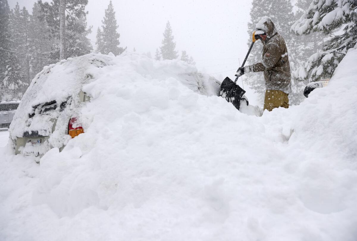
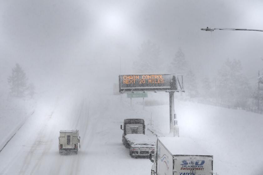
A rare blizzard sent its final flurries of snow and high winds through California’s Sierra Nevada on Sunday, keeping some major roads closed and shutting down ski resorts from Lake Tahoe to Mammoth.
Mammoth Mountain Ski Area was closed as powerful winds of up to 70 mph, with higher gusts, whipped through the mountains blowing snow.
“It is still far too windy to operate and allow Lift Maintenance to safely complete their checks or Ski Patrol to complete their necessary avalanche mitigation,” Mammoth Mountain said on its website.
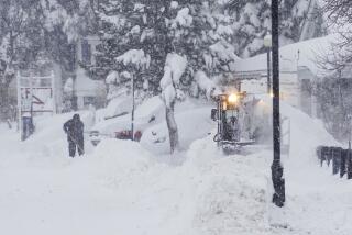
The blizzard dumped 5 to 7 feet of snow in parts of the Sierra Nevada over the weekend. The National Weather Service in Sacramento said a rare blizzard warning would remain in effect until midnight Sunday for areas above 6,500 feet elevation, while other parts of the Sierra Nevada were under a winter storm warning.
Snow continued to fall across the mountains on Sunday, with an additional 1 to 2 feet of snow forecast in areas above 4,000 feet elevation.
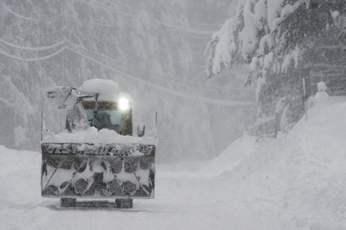
The heavy snow led to several road closures over the weekend. U.S. Highway 50 reopened on Sunday morning, allowing vehicles with chains to reach the South Lake Tahoe area.
Just west of Echo Summit on Highway 50, a few vehicles were temporarily stuck in several feet of snow that slid off the mountainside onto the road, said Steve Nelson, a spokesperson for the California Department of Transportation. He said a crew pulled the vehicles out, and no one was injured.
On the north side of Lake Tahoe, Interstate 80 remained closed due to snow for a third day.
The California snowstorm cut off Mammoth Mountain from SoCal again Sunday and paralyzed Interstate 80. A blizzard warning was extended for Mammoth until Sunday night and the Tahoe area through Monday morning.
And in the Eastern Sierra, U.S. Highway 395 was closed in Mono County, where Caltrans crews were working to clear the snow.
Even as the blizzard conditions began to ease, the National Weather Service urged people to avoid driving in the mountains.
“Winds can get up to 45 miles an hour at those higher elevations, and with snow still falling, that causes really dangerous travel conditions,” said Sara Purdue, a meteorologist with the National Weather Service in Sacramento. “We’re highly discouraging travel to the mountain areas still.”
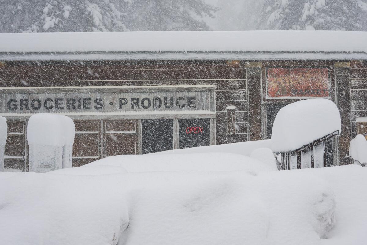
Another approaching storm is expected to bring more snow on Monday and Tuesday in the Sierra Nevada.
“It won’t be quite as impactful as this system. But we’re still looking at potentially multiple feet of snow at higher elevations,” Perdue said.
The snow and high winds made for hazardous or unworkable conditions at various ski resorts. At Palisades Tahoe, all ski lifts were closed Sunday because of “intense weather conditions.”
Sierra-at-Tahoe said on its website that “the storm’s intensity did not let up — in fact it doubled down overnight,” and the winds piled up deep snow drifts overnight, which workers were in the process of clearing.
South of Tahoe, Kirkwood Mountain Resort said it opened some of its ski lifts after initially putting them on hold to ensure safety.
Yosemite National Park, which closed during the snowstorm, partly reopened on Sunday, allowing visitors to enter on Highway 41 and Highway 140.
The blizzard arrived with extremely powerful wind gusts, which reached up to 190 mph at one location Friday night. The National Weather Service said wind gusts stronger than 100 mph were expected in parts of the Sierra through early Monday.
Along with the high winds, two tornadoes touched down in parts of the Central Valley. No injuries were reported.
“From Merced down to Bakersfield, we did have a very strong jet stream right over us,” said Carlos Molina, a meteorologist with the National Weather Service in Hanford. “The 50- to 70-mph winds were whipping the snow that was coming down over the mountains and creating blizzard conditions.”
Molina said the blizzard was “pretty much dying down” as the weather system moved beyond California into neighboring states. He said the next approaching storm doesn’t have the ingredients to produce blizzard conditions, but it will bring more snow and rain.
An avalanche warning is still in effect in the Eastern Sierra. The National Weather Service warned people against going into backcountry areas — such as those thinking of cross-country skiing or snowmobiling — saying strong winds will “continue to overload the snowpack, which contains buried weak layers,” making for very dangerous avalanche conditions on the eastern slopes of the mountain range.
Strong winds like those over the last few days can carry snow over ridges, building up cornices and depositing heavy loads of snow high on steep mountain slopes.
“It’s just waiting up there, ready to go,” said Thomas Painter, a snow scientist who lives in Mammoth Lakes. “Once the clouds clear out, we’ll be able to go out and see where some of the big avalanches have already happened. But people need to be really careful about going in the backcountry right now, because it is primed for bad avalanches.”
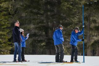
Painter is chief executive officer of Airborne Snow Observatories Inc., working with a team that flies specialized planes over the Sierra Nevada to collect detailed snow data used by California’s water agencies.
Painter stood on his porch, where the skies were clearing and the sun shone on wind-sculpted snow piled several feet high. He said the strong winds have been rattling his house and shaking trees violently.
Painter said efforts to measure snow with instruments at sites in the mountains can be complicated when high winds carry snow horizontally, and he expects the winds also left some west-facing slopes with less snow while depositing large accumulations in other areas.
He noted that the blizzard delivered somewhat less snow than expected. Forecasts ahead of the storm had called for as much as 5 to 12 feet.
“For the most part, it wasn’t that big of a deal,” Painter said. “The winds were very strong, but we’ve had strong winds like that before. And the snowfall amounts were not a big deal.”
Painter said he’s feeling happy that the latest snow will make for a longer ski season. It also brings a needed boost to California’s snowpack and water supplies.
The Sierra snowpack had started the year at just 28% of normal, but storms over the last month have helped the it reach near average levels for this time of year.
“The water situation, it continues to be improved with each one of these storms,” Painter said. “That’s good news given how horrible, two months ago, the snowpack was.”
More to Read
Sign up for Essential California
The most important California stories and recommendations in your inbox every morning.
You may occasionally receive promotional content from the Los Angeles Times.
