Before-after images show the scale of flooding across SoCal
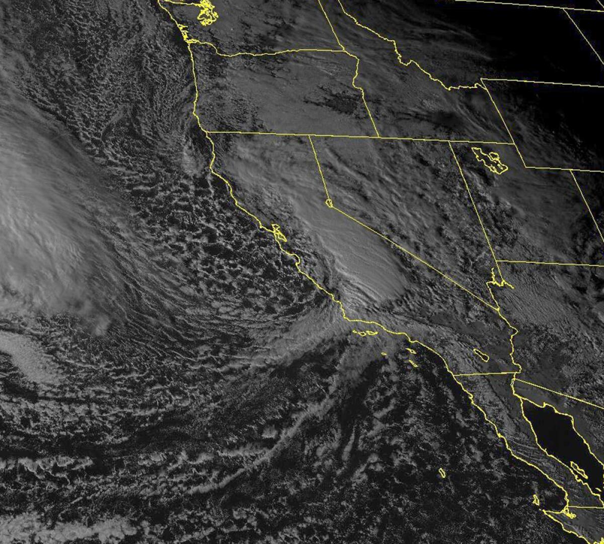
Parts of Southern California have seen record rainfall in the past week after two atmospheric rivers pelted the region.
As the clouds began to lift, new projections from a modeling company were providing a visual representation of the scale of the flooding.
The projections, from Floodbase, show dramatic differences in accumulated water between late January and this week.
Below is greater Los Angeles on Jan. 28 (left) and Feb. 6 (right). On Jan. 28, much of the water is dark blue, indicating permanent water.
On Feb. 6, light blue floodwater surrounds waterways like the L.A. River and can be seen accumulating at the base of the Santa Monica and Verdugo mountains.
Public satellites haven’t yet flown over the areas hit by the storm, and private satellites have only targeted a few areas, said Floodbase co-founder Bessie Schwarz.
The Floodbase data is “simulating what the satellites would have seen,” she said.
Floodbase uses an AI model trained on decades of satellite images, along with physical models from hydrologic, land surface and hydraulic data to predict what a satellite would see through the clouds.
According to the images, the flooding was at its peak around Los Angeles on Feb. 6, whereas in Santa Barbara County, it was most significant the previous day.
The image below uses the same methodology to show flooding in Santa Barbara County on Jan. 28 (left) and again on Feb. 5 (right).
On Jan. 28, the data show modest flooding near Lompoc and some water in the Santa Ynez Mountains.
By Feb. 6, dry riverbeds passing through Lompoc and Santa Maria were heavily flooded. The mountains above Santa Barbara were also flooded.
The atmospheric river storms of the past week killed at least nine people and caused significant flooding and property damage along the California coast.
As Californians face non-stop rain from an atmospheric river this week see how rainfall totals in your area compares to other regions and previous years.
After four days of rain, the skies were clearing Wednesday morning, leaving officials and property owners to sift through damage from nearly 500 landslides in Los Angeles County alone. Several locations got more than a foot of rain in a few days. One more dollop of rain was expected Wednesday night.
More to Read
Sign up for Essential California
The most important California stories and recommendations in your inbox every morning.
You may occasionally receive promotional content from the Los Angeles Times.

