California forecasters warn of dangerous heat and isolated thunderstorms

Forecasters were warning about dangerously hot conditions across much of California on Sunday, with triple-digit temperatures raising the risk of heat-related illnesses, as well as isolated thunderstorms in some mountain and desert areas.
In the Los Angeles area, temperatures were forecast to reach 105 degrees in the Antelope Valley and 103 degrees in the San Gabriel Mountains, said Mike Wofford, meteorologist with the National Weather Service in Oxnard. That was actually a little cooler than the day before because of increased cloud cover, he added.
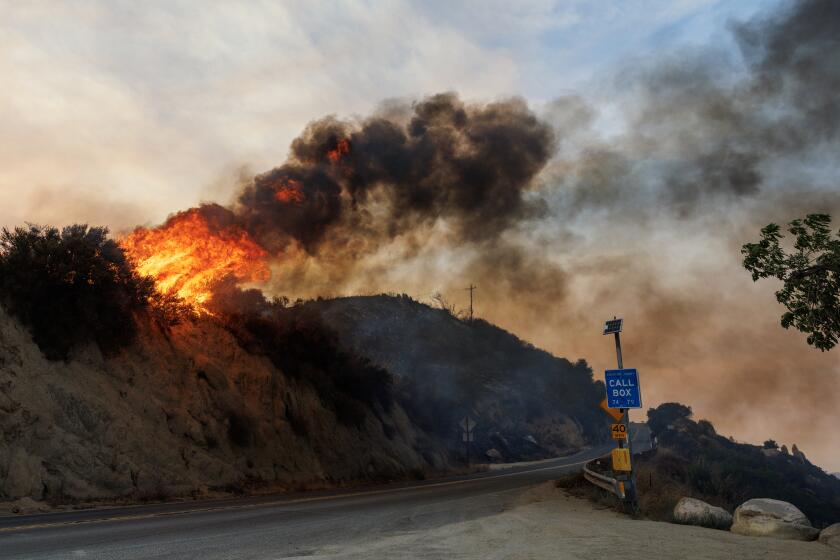
In addition, a push of monsoon moisture from the southeast could bring isolated thunderstorms to the mountains Sunday and possibly Monday, resulting in an elevated risk of fire, Wofford said. The storms were not expected to carry much moisture but could generate lightning in the hot and dry areas, he said.
Swaths of Central and Northern California were also expected to see dangerous heat Sunday, with temperatures 100 degrees or higher forecast for an area stretching from Bakersfield up to Redding.
In the Inland Empire, temperatures of 102 to 108 degrees were possible for the high desert and Apple and Lucerne valleys, said Elizabeth Adams, meteorologist with the National Weather Service in San Diego. Those highs could be tempered by extensive cloud cover due to thunderstorms that took place overnight in northwest Mexico, she added.
Already Sunday morning, some thunderstorms were reported across the lower deserts of Imperial and San Diego counties, and light rain was seen in southern portions of the Coachella Valley, she said. More thunderstorms were possible in the lower deserts and the mountains of San Bernardino, Riverside and San Diego counties through the afternoon, with a 15% to 20% chance those storms could spill over into the valleys and coasts, she added.
Authorities cautioned the high temperatures posed a major risk of heat-related illnesses and said people should stay hydrated, limit outdoor activities and try to remain in an air-conditioned room. In addition, those hiking in mountain areas should remain aware of the possibility for storms, as lightning can strike up to 10 miles from the base of a thunderstorm, Adams said.
The heat was being caused by a high-pressure ridge over the West, Wofford said. The setup was typical for the region during the summer — as the ridge wobbles a bit to the East, the area gets more of an onshore flow, bringing cooler conditions, and as it moves over the West, conditions grow hotter, he said.
“We go back and forth between having some heat waves and having temperatures more typical for summer,” he said. “So I’m sure we’ll have that back and forth going through the summer.”
Still, the heat wave came in the midst of a July that experts said was shaping up to be the hottest month ever recorded on the planet caused in part by global warming from humanity’s burning of fossil fuels. In Arizona, an unusually prolonged heat wave has shattered records, with Phoenix becoming the first major U.S. city to record 23 consecutive days of high temperatures reaching 110 degrees or greater and 13 consecutive days of nighttime lows of 90 degrees or greater.
In California, a slight cooling trend was expected to start Monday and continue over the next week to 10 days, with temperatures just a few degrees above normal rather than 10 to 15 degrees above normal, Wofford said. In the Inland Empire, temperatures were expected to remain steady until midweek to next weekend, when they might drop a bit, Adams said.
More to Read
Sign up for Essential California
The most important California stories and recommendations in your inbox every morning.
You may occasionally receive promotional content from the Los Angeles Times.


