A soggy ending to 2021: More rain, snow and chilly temperatures come to Southern California
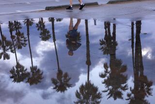
With more than 5 inches of rain in December and counting, Los Angeles on Wednesday played host to yet another winter storm that promises to bring even more moisture to the area through New Year’s Eve.
The storm will keep temperatures below average while dropping rain and snow across the Southland. It arrived in Los Angeles on Wednesday afternoon and should remain steady through Thursday, with light showers possible Friday morning, said Mark Jackson, a meteorologist with the National Weather Service in Oxnard.
“There’s no question that L.A. will get some rain, and it could get quite a bit of rain,” he said.
Los Angeles County could see as much as 3 inches of rain along the coasts and valleys, and up to 5 inches in the mountains, while areas farther south — including parts of Orange and San Bernardino counties — could get 7 inches.
Ahead of the potential deluge, flood watches have been issued across much of the region, including portions of Los Angeles, Orange, Riverside, San Bernardino and San Diego counties, and will remain in effect through Thursday.
Wet weather will also threaten areas near wildfire burn scars, which are subject to debris flows and flash floods because burned soil is less absorbent. Officials in Orange County issued a mandatory evacuation order to take effect at 8 p.m. Wednesday for residents of Silverado, Williams and Modjeska canyons near the Bond fire burn area. Residents were earlier given a voluntary evacuation warning.
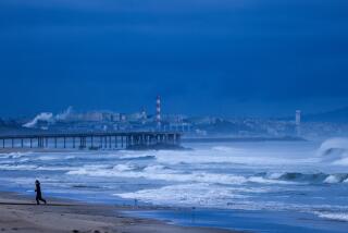
Officials in Los Angeles also warned of the potential for moderate debris flows around the Bobcat, Ranch 2 and Lake fire scars, among others, and the potential for waterspouts to form over the waters in Los Angeles and Ventura counties.
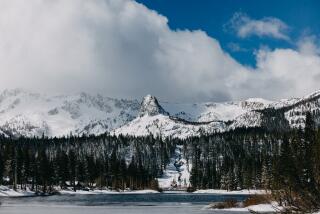
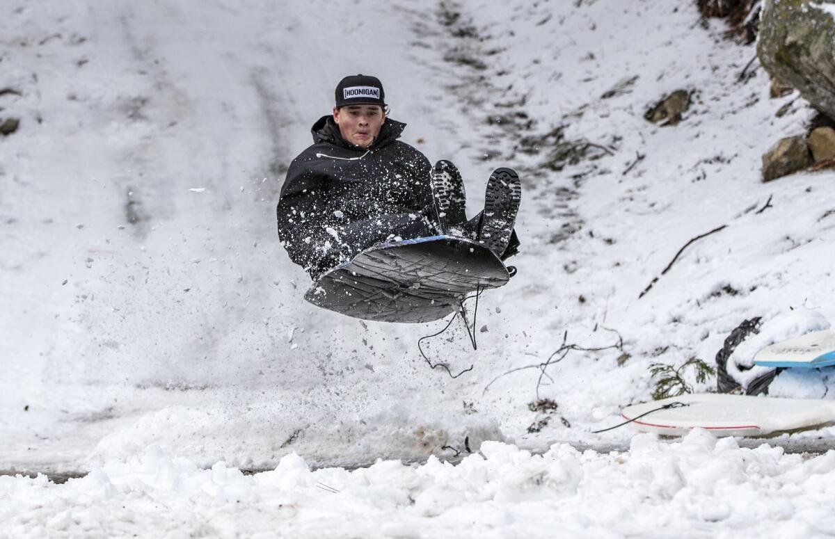
Light snow is expected to fall but not accumulate over the Grapevine, where heavy wind gusts of up to 60 mph are also in the forecast. Stronger snowfall is expected in the mountain areas, with up to 2 feet of powder possible at 5,000 feet and even more at higher elevations.
A winter storm warning is in effect until 7 p.m. Thursday in the mountains of Riverside and San Bernardino counties, including the cities of Big Bear and Wrightwood, where visibility will be minimal, tree branches could fall and travel will be difficult — if not impossible — officials said.
“A winter storm warning for snow means severe winter weather conditions are occurring,” officials said. “If you must travel, keep an extra flashlight, food and water in your vehicle in case of an emergency.”
At least eight temperature records were set in Southern California on Tuesday as the chilly system kept daily highs in Anaheim, Chula Vista, Alpine and other areas several degrees below normal. Even downtown L.A. won’t reach 60 degrees until Friday.
L.A., Ventura and Santa Barbara counties saw four daily temperature records broken and two tied, according to the weather service. The maximum temperature at Los Angeles International Airport was 53 degrees, breaking the previous record low maximum of 55 degrees set in 2012.
Temperatures topped out at 51 degrees at UCLA, breaking the record of 54 degrees set in 1991, the weather service said. Oxnard also reached a high of 51 degrees, breaking the record of 52 degrees set in 1987, and Santa Barbara’s high of 52 degrees edged out the previous record of 54 degrees, also set in 1987.
Woodland Hills and Camarillo each tied records set in 1987, with highs of 49 degrees and 52 degrees, respectively, the weather service said.
“New Year’s morning will have a pretty chilly start,” Jackson said. “Anybody who’s going to watch the [Rose] Parade should dress up warm.”
The snow comes as a much-needed surprise for the bone-dry West, where only months ago, officials put residents under a state of drought emergency.
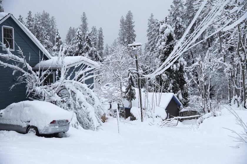
The storm has already packed a wallop in Northern California, which reported record-breaking snow in parts of the Sierra Nevada this week. The UC Berkeley Central Sierra Snow Lab at Donner Pass said it has received 210 inches of snow this month, making December the third-snowiest month since 1970.
The massive snow dump prompted multiple road closures and power outages, with thousands of residents in the Sierra still without electricity Wednesday afternoon, according to Pacific Gas & Electric. Officials in South Lake Tahoe activated emergency operations advising residents of limited gas and supplies and hazardous road risks, with only essential travel allowed in the area.
All county offices in South Lake Tahoe, as well as the Georgetown and Pollack Pines libraries and the Historical Museum in Placerville, were closed for the day because of outages and weather conditions, officials said.
With the storm hitting much of the state, Gov. Gavin Newsom activated the State Operations Center to monitor conditions and coordinate aid efforts.
“I strongly encourage all Californians to avoid making the situation worse and refrain from traveling on mountain roads until conditions improve,” Newsom said.
The governor also directed members of his Cabinet to coordinate with investor-owned utilities to rapidly restore power and take other actions to alleviate the weather’s negative effects on the most vulnerable Californians, according to a statement by his office. The California Department of Transportation has deployed 1,350 workers since Dec. 24 in rotating, 24-hour shifts to keep roads open and help communities affected by the storms.
Caltrans warned residents of hours-long delays on westbound Highway 50 and said it was struggling to keep Interstate 80 open to essential travelers amid heavy snow.
“When the highways are full of motorists, we aren’t able to plow the roadways fast,” the agency said. “Avoid traveling today. Don’t crowd the plow.”
Other highways, including portions of state routes 20, 49, 70 and 89, were closed by wintry hazards, downed trees or avalanche concerns, the agency said.
To the south, Highway 1 remained closed from Ragged Point to the Elephant Seal Vista Point in San Luis Obispo County because of rockfalls from recent storms, Caltrans said.
In San Bernardino, State Route 18 also remained closed for storm damage repair after a road segment washed down a hillside during previous heavy rains.
Though the rain and snow have created considerable hazards across the Golden State, climatologists and residents have welcomed the precipitation after months of drought conditions.
Statewide snowpack levels on Wednesday were 158% of normal for the date, according to state data, and many depleted reservoirs also saw a boost from the recent rains. Lake Oroville was at 37% capacity, up from 33% the week prior.
The moisture came as a bit of a surprise after seasonal outlooks issued by the National Oceanic Atmospheric Administration said the odds were in favor of a dry December in California.
Downtown Los Angeles has already received 5.15 inches of rain this month — more than double the normal amount of 2.14 inches, according to Jackson, the meteorologist.
The outlook for January and February is dry, although there is a chance of another storm developing the first week of the year, he said.
“If you were to bet back in November on whether we would have a dry or wet December based on the information, you would have put your money down on a dry December,” Jackson said. “But we don’t always win our bets, right?”
Times staff writer Gregory Yee contributed to this report.
More to Read
Sign up for Essential California
The most important California stories and recommendations in your inbox every morning.
You may occasionally receive promotional content from the Los Angeles Times.
