A stormy holiday delivery: Flash flood warnings, potential debris flows on tap
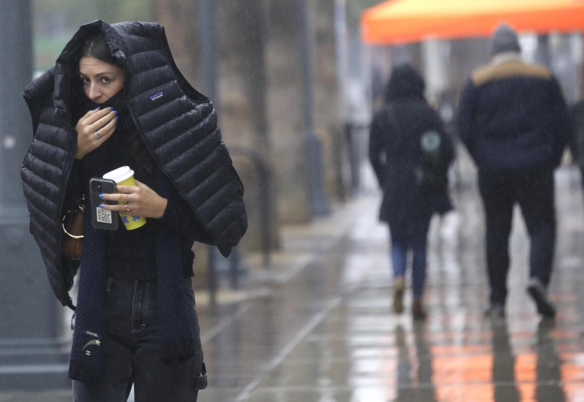
The powerful storm that has been pelting Northern California with rain and snow arrived Thursday in the Southland, where wet, wintry weather is likely to linger well into the holiday weekend.
The storm snarled travel and created icy hazards to the north, with officials in Tuolumne County on Thursday issuing an evacuation advisory after cracks were reported in the Twain Harte Lake Dam.
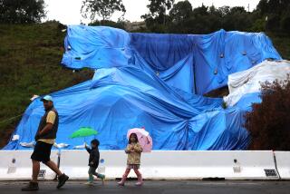
Southern Californians were also on edge as the storm made its arrival and threatened to bring flash floods and debris flows in several areas, including those near streams, rivers and wildfire burn scars.
Authorities in Orange County issued a mandatory evacuation warning for residents near the Bond fire burn zone, which will remain in effect through noon Friday, while residents near the Alisal fire burn scar in Santa Barbara County were told to prepare to shelter in place.
The rain will persist intermittently — perhaps heavy at times — through the holiday weekend
Flood watches are also in effect for portions of San Diego, San Bernardino, Riverside and Orange counties through Friday morning.
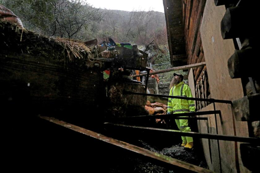
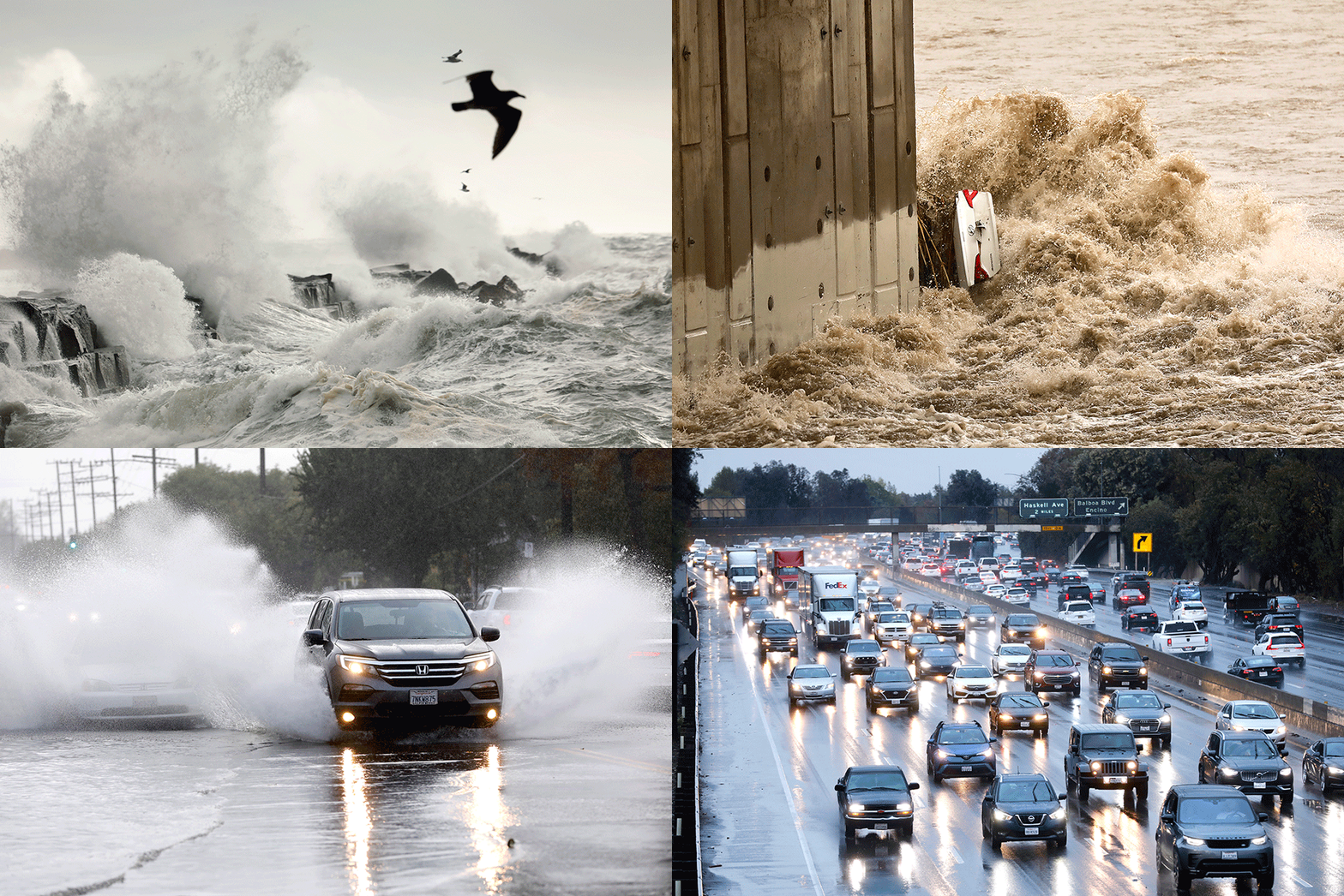
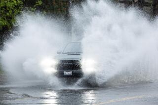
The alerts come roughly a week after another major storm swept through the area and sucked vehicles into the Los Angeles River, downed trees and prompted rescues of residents trapped by mudflows in Silverado Canyon.
Officials said burn areas near the Alisal, Bond and El Dorado fires are particularly vulnerable to the incoming system.
“Near the burn scars, there could be debris flow — we do have definite concern for that given the expected rainfall rate,” said Dan Gregoria, a meteorologist with the National Weather Service in San Diego. “Outside of those areas, though, really anywhere, heavy rainfall could result in flash flooding.”
Monrovia Canyon Park near the Bobcat fire burn scar, which was littered with rocks and mud during the last storm, has been closed indefinitely because of the potential for further debris flows.
And in a tragic indication of the dangers of flash floods, officials said two bodies were recovered Thursday from a vehicle that was trapped in standing water under a train tracks overpass in Millbrae.
Det. Javier Acosta with the San Mateo County Sheriff’s Office said at least two cars were trapped in the water, which he estimated to be a least 10 feet deep. It took officials several hours to drain the area and locate the victims, who were identified only as adults.
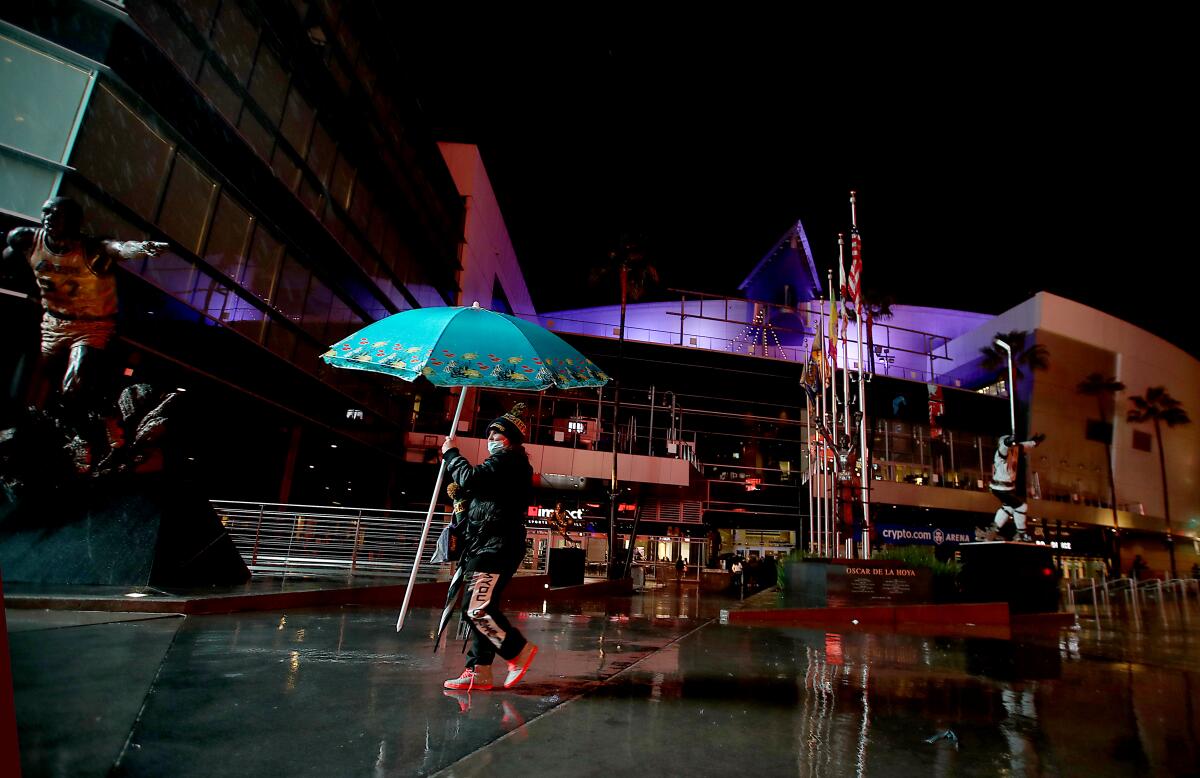
In Los Angeles, patchy rain fell Thursday morning, and a steadier downpour had developed by the afternoon.
Some models also hinted at the development of thunderstorms over San Luis Obispo and Santa Barbara counties on Thursday afternoon or Friday.
The National Weather Service said the slow-moving storm broke several rainfall records for the date. Downtown L.A. saw more than 2 inches of rain by noon.
“Unsettled weather” will prevail across the region through Sunday as the storm crawls across the area, officials said. The storm could drop up to 3 inches along the coasts and valleys and 6 inches in mountains.
Thursday is also one of the busiest travel days of the year, according to AAA and the federal Transportation Security Administration, and officials are advising residents to be cautious while driving on slick or icy roads.
“It’s just really wet. Even on my way to work this morning, I was sliding around,” said Kristan Lund, a meteorologist with the National Weather Service in Oxnard. “People need to slow down, have their lights on, be very cautious about people around them.”
The storm system will deliver bursts of heavy rain in the region through Friday morning, Lund said. Saturday — Christmas Day — should be dry in the morning, but more moisture is likely to develop in the afternoon.
The slow-moving winter storm pounding Northern California with rain and snow is making its way south, promising a wet holiday weekend for L.A.
The heaviest rainfall occurred in San Luis Obispo, Santa Barbara and Ventura counties, according to weather service data through 10 p.m.
Rocky Butte in San Luis Obispo County saw 6.74 inches, according to the weather service. San Marcos Pass near Santa Barbara saw 5.28 inches, and areas of Ventura County recorded more than 4 inches of rain.
The Los Angeles area saw more modest precipitation, according to the data.
Santa Monica saw 2.24 inches, Hollywood Reservoir got 1.83 inches and downtown L.A. got 1.39 inches.
In the San Fernando Valley, Porter Ranch recorded the most rainfall at 2.94 inches, Northridge got 2.48 inches and Burbank got 1.17 inches, the data showed. Pasadena recorded 2.13 inches of rain, Calabasas saw 2.7 inches, Alhambra saw 1.74 inches and Newhall got 1.97 inches.
The chilly storm is also delivering cooler temperatures that are well below normal. Downtown Los Angeles will hover around 60 degrees Thursday and Friday, while the high on Christmas Day is slated to top out at 58 degrees.
Snow levels are still high — around 9,000 feet — but should drop below 8,000 feet Friday and to 5,000 feet Saturday, according to Lund.
The storm has already made a mess of conditions in Northern California, and winter storm watches and warnings remain in effect from Humboldt County to the Sierra Nevada, including portions of Plumas County and Lassen Park.
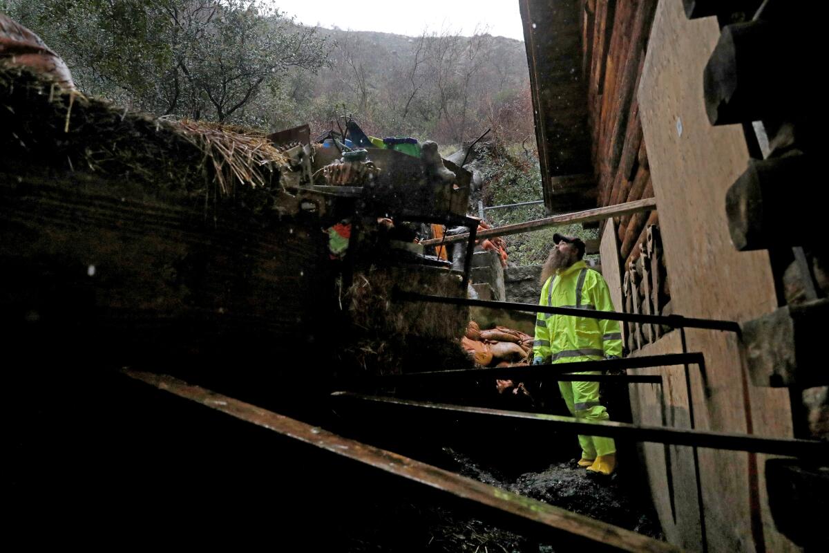
The combination of gusty winds, heavy mountain snow and valley rain will contribute to “difficult if not impossible” travel conditions throughout much of the northern part of the state this week, officials said.
Major holiday travel delays, road closures and near white-out conditions are possible in many mountain areas.
Snow sliding off the roof of the Mammoth Mountain Inn buried a resort guest, prompting a rescue effort, officials confirmed.
Mammoth Mountain Ski Patrol was alerted to the incident at 1:09 p.m., said Lauren Burke, a Mammoth Mountain resorts spokeswoman. Witnesses reported seeing a person playing in the snow in the area and believed that person was buried.
“Extrication of the guest began immediately and the individual was recovered after approximately four minutes,” Burke said. “CPR was started right away and the guest was transferred to the medics and to Mammoth Hospital.”
An update on the person’s condition was not available Thursday.
The Sierra Avalanche Center has also issued warnings of extreme avalanche danger for the Central Sierra between Yuba Pass and Ebbetts Pass, including the greater Lake Tahoe Area, because of high-intensity snowfall and strong winds.
Officials in Tuolumne said Thursday the cracked dam was “being handled” and asked residents to remain calm. Water will begin to be released from the Twain Harte Lake, which will create a rise in water levels downstream, they said.
The rest of the year promises to be similarly wet and snowy, with a persistent stormy pattern expected over the West Coast through much of next week.
Forecasters said a very cold system over Montana could move down the West Coast on Saturday and Sunday, delivering more cold temperatures and the potential for additional rain and snow.
Another storm is forecast on Monday, and yet another on Tuesday or Wednesday.
Times staff writer Gregory Yee contributed to this report.
More to Read
Sign up for Essential California
The most important California stories and recommendations in your inbox every morning.
You may occasionally receive promotional content from the Los Angeles Times.
