Fire season still a threat to Southern California despite rains
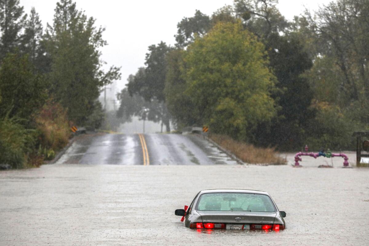
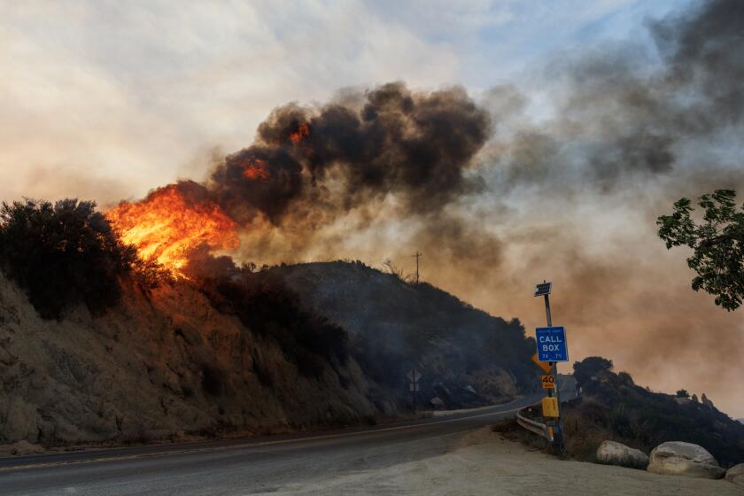
Record rainfall this week could mean the end of fire season for much of Northern California, experts said, but conditions in the Southland remain more tenuous, and the coming weeks could still bring fire danger.
Southern California saw much less rain than the Bay Area and Sierras, and this region’s prime fire months often come later, with huge blazes of the past burning into November and December.
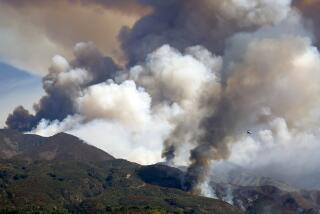
Many of the factors that drive fire spread, such as drought-dried vegetation, strong winds and high temperatures, remain a possibility in Southern California — including the potential for a strong Santa Ana wind event like the one that fueled the massive, late-in-the-season Thomas fire of December 2017.
Officials say rising temperatures and Santa Ana winds in the next month could erase any moisture gains from the storms.
“This is typically still our time of the year when some of our largest wildfires have occurred, so we are still encouraging everyone to be prepared,” said Christine McMorrow, a spokeswoman for the California Department of Forestry and Fire Protection.
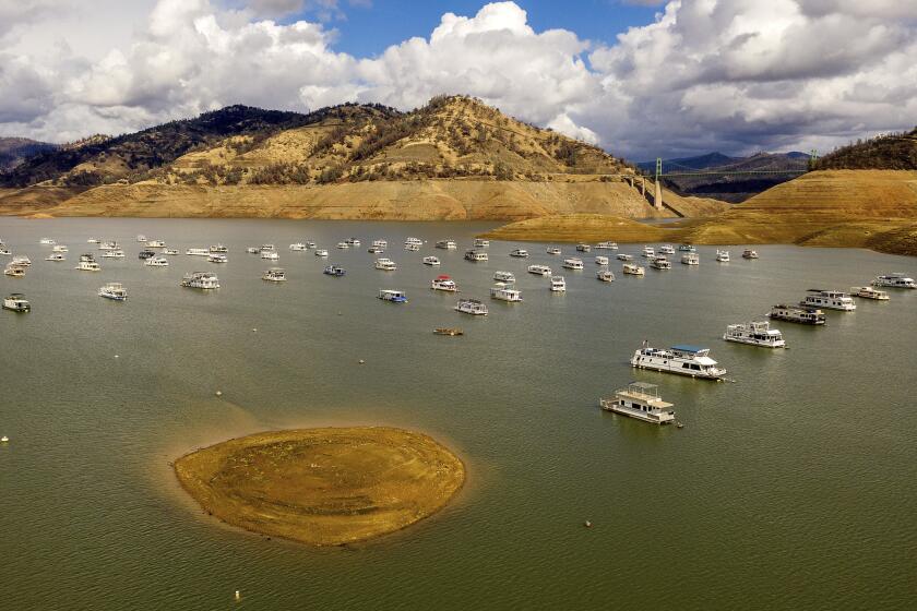
While the massive plume of moisture helped, experts said it will take much more than one storm to make a dent in the drought.
A recent seasonal outlook from the National Oceanic Atmospheric Administration calls for below-normal precipitation and worsening drought conditions in Southern California through at least February.
A second year of La Niña is also likely to keep things drier than average, NOAA said.
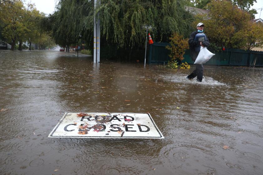
This week’s atmospheric river delivered huge amounts of precipitation in Northern California, including an all-time record in Sacramento, which saw more than 5 inches of rain.
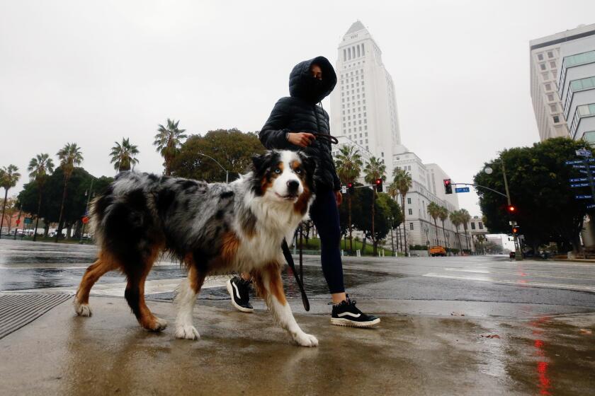
But the totals were far lower in the Southland. Los Angeles International Airport on Monday recorded 0.39 inches, which was a daily record but still a far cry from areas like Placer County’s Blue Canyon, which received more than 10 inches in the storm.
“Southern California always is a little bit different,” said Scott Stephens, a professor of fire science at UC Berkeley. “It’s nice that the rain did happen down there too, but Santa Ana winds and other events can dry things so quickly that I don’t think we could say this ends everything in Southern California. I do think potentially in Northern California we can.”
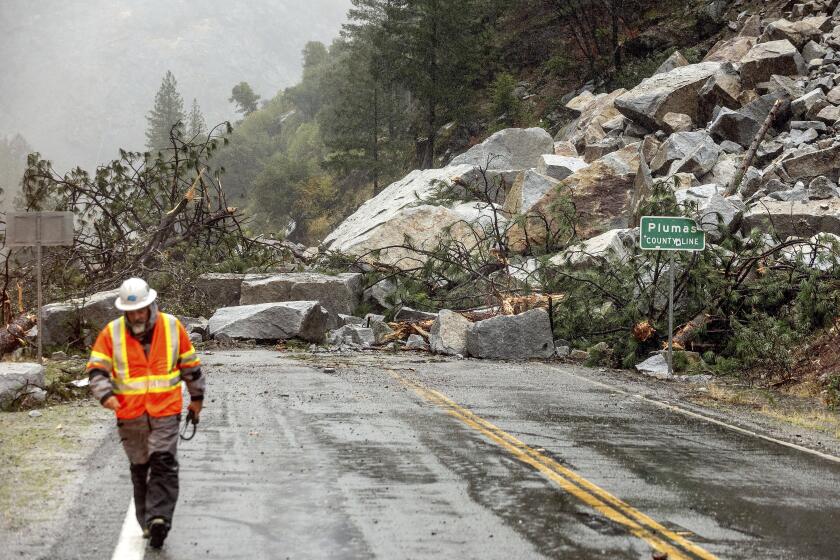
Heavy rain in Northern California unleashed mud and debris flows and shut down at least one critical highway by Sunday morning.
Drought-dried vegetation was a major element in this year’s fire season, enabling blazes like the Dixie fire to move so aggressively, Stephens said.
While the storm increased vegetation moisture levels, Monday’s clouds in Southern California have already cleared, and the forecast calls for sunny skies and highs in the 70s and 80s for the next several days. Many benefits of the storm could soon be sapped away.
Some fuels “will actually lose water at the same rate that they actually gain it,” Stephens said. “On a really dry, warm day, the fine fuels can be incredibly changed.”
Were a warm Santa Ana wind event to move into the region, it would essentially act like a blow dryer for the moistened landscape, drying it out again and priming it for further ignition, he added.
“If you go into a dry period down there, it’s just much more vulnerable because of that wind event,” he said.
After the storm passes, the drought plaguing much of the state will remain, potentially improving in some areas but worsening in others.
The 2021 fire season, fueled by the drought and also record-breaking heat, has already been a terror for millions of residents across the Golden State.
Crews this year have battled more than 8,200 fires across the state, according to Cal Fire. Nearly 2.5 million acres have burned, and countless residents have suffered the effects of the fires’ harmful smoke.
“We are still in a long-term drought, and while the recent rain helps, it hasn’t ended fire season,” McMorrow said. “It hasn’t ended the opportunity for a large, damaging wildfire to occur this time of year.”
The multi-county Dixie fire — the second-largest wildfire in the state’s recorded history — burned for more than three months and seared through almost 1 million acres. Entire towns were leveled by its flames, and thousands of residents were sent fleeing from their homes.
South Lake Tahoe, typically a haven for summertime revelry, was transformed into a ghost town in August as the Caldor fire lapped at its shores and darkened its famed sapphire waters.
And the twin blazes of the KNP Complex and the Windy fire in September nearly decimated groves of California’s ancient sequoia trees, including the largest tree in the world, General Sherman.
But the massive storm likely turned the tide for Northern California, which bore the brunt of the year’s biggest blazes, said UCLA climate scientist Daniel Swain.
“From about the San Francisco Bay Area northward, I would be pretty surprised if there were major fire activity in the coming weeks and months,” Swain said Monday after the deluge. “This is about as low-risk a November I think Northern California has seen in years, in terms of fire risk.”
Rainfall records were smashed from Los Angeles to Long Beach as the first significant storm of the season dumped moisture across the parched region.
In addition to moistening fuels, the rain also dampened the soil, which means that snowpack won’t be landing on bone-dry earth, he said. That most of the western slope of the Sierra saw 5 to 10 inches of rain only adds to the region’s good news because it will rehydrate the soil column and dampen logs and vegetation on the ground.
“I’m reasonably confident that for the northern third or half of the state, it’s probably fire season-ending,” he said of the storm.
But the same can’t be said for those farther south.
“If we get another late autumn heat wave or Santa Ana event into early winter, and if there’s not a lot more rain, there could very well be Southern California Santa Ana fires,” Swain said.
McMorrow was hesitant to call the storm a season-ender in any part of the state, north or south, but noted that it did reduce immediate fire danger. The seven-day fire outlook from the National Interagency Fire Center in both Northern and Southern California looks promising.
But the storm did not end the years-long drought, she said, so the long-term outlook is still cause for concern.
“Depending on where you are in the state and what the conditions over the next few months look like,” she said, “those moisture levels could dry out significantly, and we could be back to where we were last week in a relatively short period of time.”
Last year, the 114,000-acre Bobcat fire in Los Angeles ignited in September and smoldered well into the fall.
More to Read
Sign up for Essential California
The most important California stories and recommendations in your inbox every morning.
You may occasionally receive promotional content from the Los Angeles Times.
