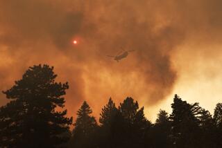
Heavy wildfire smoke prompts air advisory in Southern California
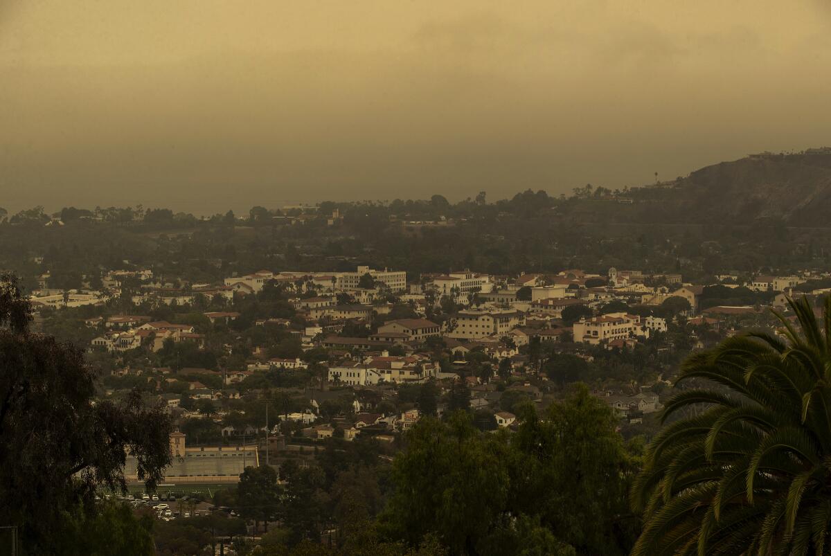
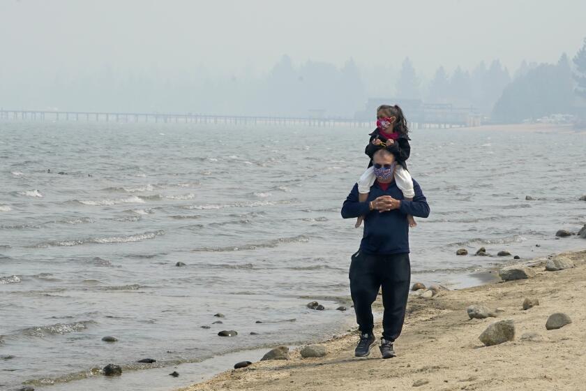
Heavy smoke from wildfires raging in Central California has pushed south, triggering an air quality advisory for some Southern California mountain areas, and conditions are ripe for more toxic plumes later in the week.
The South Coast Air Quality Management District issued the special advisory in anticipation of elevated air quality index levels — a measurement of air pollution — in parts of the San Bernardino and San Gabriel mountains Monday.
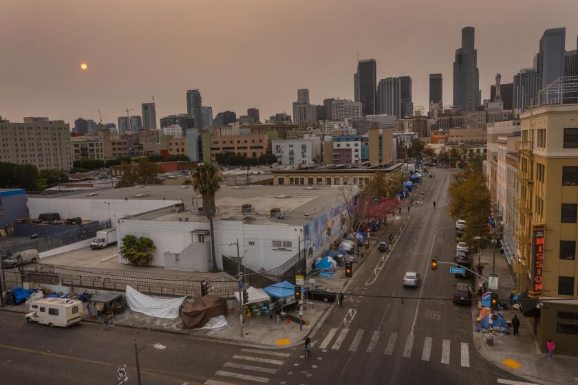
Smoke from the Windy and KNP Complex fires — a pair of explosive blazes in the southern Sierra Nevada region — turned skies in Los Angeles eerie shades of gray and orange in recent days and continues to sully atmospheric conditions more than 100 miles away.
“It’s not necessarily been blown down in the areas where we breathe — it’s still staying high in the atmosphere — but ... the forecast shows that we would get some areas that are unhealthy for sensitive groups or maybe even higher levels,” including high desert regions, said Sarah Rees, deputy executive officer for planning and rules at South Coast AQMD.
Air quality on Monday morning was good to moderate throughout the region, but high-elevation areas could worsen later in the day.
“I’m more concerned about the afternoon period,” Rees said, adding that peak readings would probably occur after 2 p.m.
Early Monday afternoon, the San Gabriel Mountains near Wrightwood had an AQI rating of 76, considered moderate, according to IQAir. Air quality in areas closer to the fires was much worse, though. Kernville, southeast of the Windy fire, had the worst air in the U.S., with an AQI of 437. Three Rivers, which is threatened by the KNP Complex, was second worst, with a rating of 350.
AQI values range from 0 to 500, with higher numbers signifying greater levels of air pollution and health concerns. An AQI over 300 represents hazardous air quality.
That orange or gray haze that Los Angeles residents are seeing is actually from wildfires burning more than 100 miles away.
North and northeast winds that have pushed the smoke into Southern California are expected to return Wednesday and Thursday, along with high temperatures and low humidity — conditions that increase fire danger, weather officials said.
“That would certainly be a favorable direction to import smoke from the Windy fire,” which is burning to the north in the Tule River Indian Reservation and Sequoia National Forest, said David Sweet, a meteorologist with the National Weather Service’s Oxnard station.
Since igniting during a lightning storm Sept. 9, the Windy fire has surged to 85,383 acres, burning into the Giant Sequoia National Monument. It is only 2% contained. As the blaze grows unabated, the flames are threatening roughly 2,000 homes. Monday morning, authorities issued a new evacuation warning for the M99 corridor along the Kern River.
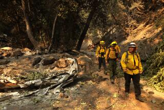
Not far away, the KNP Complex fire in Sequoia National Park has torn through the famed Giant Forest grove of towering sequoia trees in its march through rugged terrain. Composed of two lightning-sparked fires that began Sept. 9 during the same storms that sparked the Windy fire, the KNP has seared 46,976 acres and is 8% contained.
Farther north, the Fawn fire, burning north of Redding, had charred more than 8,500 acres, and on Monday, Gov. Gavin Newsom declared a state of emergency for Shasta County. Last week, the governor announced that the state had secured federal assistance to help with the fire.
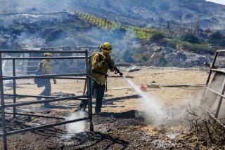
Fire crews have boosted containment of the blaze to 50%, and during a briefing Sunday night, a deputy incident commander with Cal Fire said the forward spread of the fire had been stopped.
Here’s some advice for keeping the air in your home clean when wildfire smoke has made outdoor air quality hazardous.
Milder conditions helped crews get a handle on the Fawn fire and were bringing cooler temperatures throughout California.
To the south, a low-pressure area moved in, driving down temperatures and generating a thick marine layer in some regions.
Oxnard recorded a trace amount of precipitation, and other coastal areas saw drizzle.
The cooler, moister atmosphere offers “a bit of relief to our fire situation,” said Sweet, who added it’s likely only a brief respite before warm Santa Ana winds arrive midweek. Inland areas such as the Antelope Valley “don’t get the benefit of this marine layer,” he said.
Though the moisture is welcome, it won’t make a dent in the state’s drought conditions. “The fact of the matter is: We still have very, very dry hillsides,” Sweet said.
More to Read
Sign up for Essential California
The most important California stories and recommendations in your inbox every morning.
You may occasionally receive promotional content from the Los Angeles Times.

