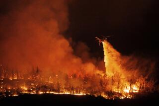
Caldor fire has small towns under siege, threatening nearly 7,000 structures

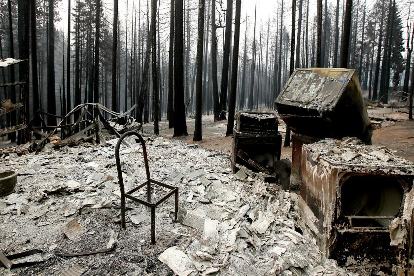
PLACERVILLE, Calif. — The growing Caldor fire in El Dorado County has leveled 104 structures, many of them in the decimated community of Grizzly Flats, and nearly 7,000 others are still threatened, authorities said Friday.
The blaze, which ignited Saturday, has surged past 70,000 acres, and firefighters have yet to contain any of the spreading flames.
Roughly 24,965 residents have been evacuated, as winds threaten to push the fire north near the communities of Kyburz and Whitehall, fire officials said.
Of top concern Friday was keeping the blaze — now at 73,415 acres — south of Highway 50, where homes dot the long, remote stretch of road, said Capt. Keith Wade, a public information officer for the fire.
Resources were strategically placed there for structure protection, and there are no plans to close the highway, according to the California Department of Forestry and Fire Protection.
Ash was falling “like snow” at the El Dorado County Fairgrounds in Placerville, where base camp for the blaze has been set up, Wade said.
Smoke from several regional fires hung heavy over the area, clamped down like a wet blanket by a high-pressure zone.
“It almost feels like you’re at the beach with that — like an overcast,” Wade said. “That’s how it feels here, except we’re drenched in smoke.”
Winds from the south are expected to pick up Saturday, sparking fears of fire growth along the northern edge of the blaze.
Crews intend to work hard before that happens, Wade said, and anticipated there would be some containment of the growing fire by Saturday morning.
To the north of the Caldor fire, the monstrous Dixie fire continued to rampage in several counties above Sacramento. The massive blaze had swelled to 700,630 acres by Friday morning.
The fire ignited July 13 near a Pacific Gas and Electric Co. power station in Feather River Canyon and might have been caused by a Douglas fir falling onto a power line, PG&E said. The utility has said its equipment may also be to blame for sparking the Fly fire, which started nine days later and eventually merged with the Dixie fire.
The blaze — the second-largest in California history — is growing in multiple directions, and has been plagued in recent days by changing winds, fire officials said. It is 35% contained. The community of Janesville along the eastern edge of the fire has been under direct threat for several days.
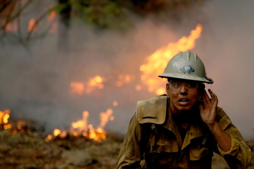
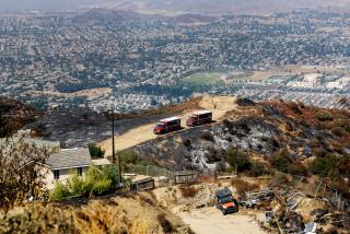
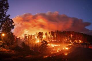
Images of the Caldor fire and the Dixie fire, driven in part by warming temperatures and worsening drought.
Changing weather conditions have confounded firefighting efforts, officials said.
For the majority of the fire’s life, winds have blown from the southwest, but the last two days, they have shifted to northwest, “almost like a 180,” said Capt. Jim Evans, a public information officer for the Dixie fire.
On Friday, they were expected to blow again from the southwest. Wind speeds are expected to increase throughout the afternoon, and a dry cold front is slated to arrive Saturday, according to incident meteorologist Joseph Goudsward.
“A town one day might be looking pretty good, then the winds shift, and next thing you know, the fire is going toward this town,” Evans said. “So we’re worried about all the towns nearby.”
Officials advised during a briefing Friday morning that firefighters might need to rethink their strategies given the instability of the weather.
“Obviously, the key word today is change,” said Billy See, a unified incident commander. “We’ve been on a roller-coaster ride, 30-plus days.”
California faces unprecedented dangers as record heat, dryness combine with fierce winds
More than a million acres have already burned fairly early in California’s fire season. Elsewhere in the state are the Cache fire in Lake County and French fire in Kern County, which both sprang up Wednesday afternoon.
Exhibiting extreme fire behavior, the French fire — now 4,272 acres and 5% contained — spurred a new evacuation order Friday for Alta Sierra, an unincorporated area in the county. Mandatory evacuations remain in place in Isabella Highlands, Hungry Gulch, Wagy Flat and Dutch Flats, according to an incident report.
State Route 155 was closed Friday between Glennville and about two miles east of Alta Sierra due to the blaze, the California Department of Transportation said in a tweet. The department said that the roadway would reopen “once deemed safe by emergency personnel on site.”
The Monument and McFarland fires, both sparked by lightning in late July, have seared more than 258,000 acres between them in Shasta and Trinity counties.
The state is entering uncharted territory as record dry conditions continue to fuel destruction. Officials have attributed warming temperatures and worsening drought to the explosive growth of fires this summer.
Wigglesworth reported from Placerville and Seidman from Los Angeles.
More to Read
Sign up for Essential California
The most important California stories and recommendations in your inbox every morning.
You may occasionally receive promotional content from the Los Angeles Times.
