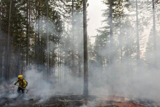
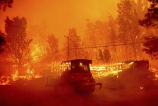
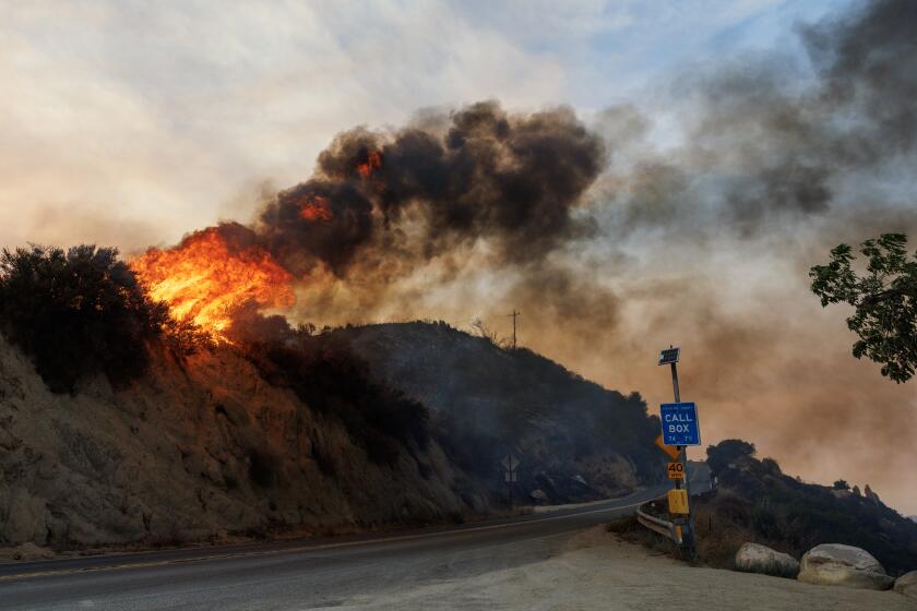
Storms threaten to grow monstrous Dixie fire: ‘Everything is ready to burn’
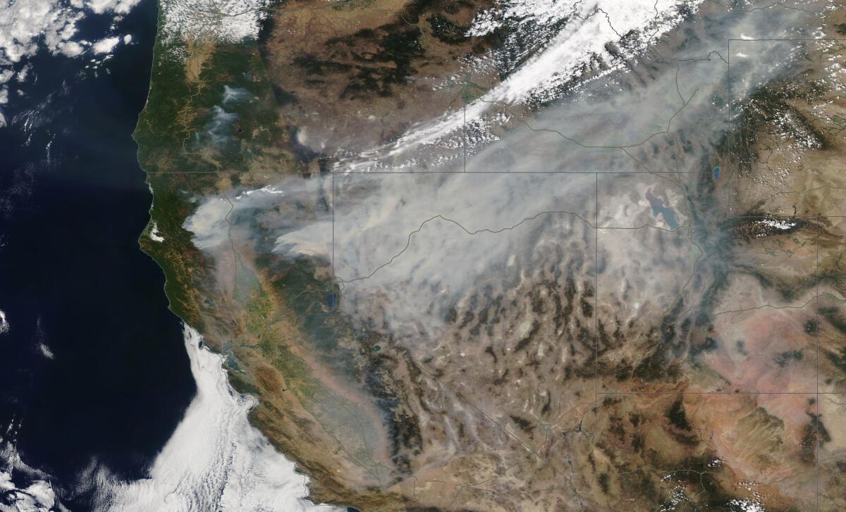
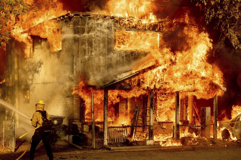
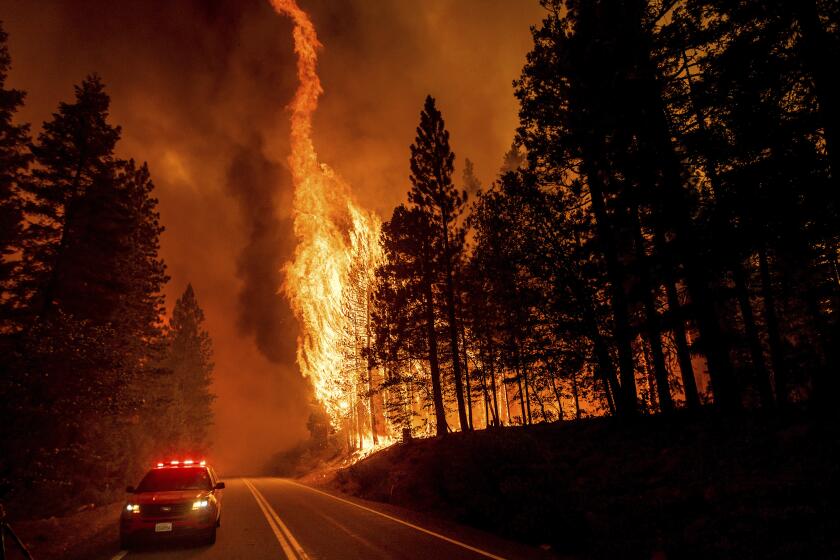
Thunderstorms converging Thursday over the burn zone of the Dixie fire added another dangerous element of instability into already treacherous conditions and fueled further growth of the massive fire, officials said.
Wind gusts of 35 to 45 mph Thursday evening propelled the fire across containment lines in some areas and grounded water-dropping helicopters. There were reports of spotty lightning.
Winds of that ferocity not only can drive the fire’s forward march but also can hurl embers over containment lines and spark new fires. Lightning strikes in historically dry vegetation can similarly ignite new flames.
With the region engulfed in a drought, “everything is ready to burn,” said Diondray Wiley, a fire behavior analyst for the Dixie fire.
The U.S. Forest Service lets some blazes burn. California officials say that practices should be updated as blazes explode, partly because of climate change.
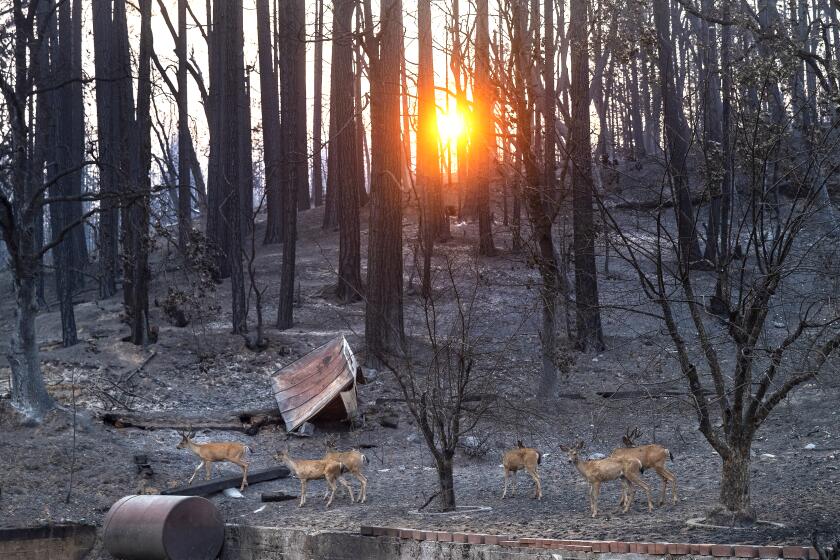
After igniting a month ago, the Dixie fire has now seared 510,227 acres. It is the second-largest wildfire in California history and the 14th most destructive, burning more than 550 homes. It has scorched parts of Plumas, Lassen, Butte and Tehama counties, north of Sacramento, and was 30% contained as of Thursday.
Pacific Gas & Electric has said its equipment may have sparked the Dixie fire, which broke out July 13 near the utility’s power station in Feather River Canyon, as well as another blaze that later merged with the Dixie fire.
The blaze grew overnight by about 10,000 acres, primarily in the Diamond Mountain area on the eastern side, said Capt. Daniel Bertucelli, a public information officer for the Dixie fire.
The fire has spurred multiple evacuation orders and warnings across several counties. Many roads are closed, as well as nearby national forests.
A massive storm cloud formed Monday night above the Dixie fire, generating a spinning vortex of flames and ash that soared into the sky.
Roughly 32% of the Plumas County population was under evacuation orders or warnings Wednesday, according to the county Sheriff’s Office. Directives are frequently changing, and up-to-date information can be found at the Plumas County Sheriff’s Office Facebook page.
Evacuation orders for the Lassen County communities of Westwood, Clear Creek and Pine Town remain in place. More details can be found at the Lassen County Sheriff’s Office Facebook page
Firefighters are worried the blaze could spread farther and faster when storms roll into the area later in the day.
Thunderstorms could continue through Thursday evening, said Joseph Goudsward, an incident meteorologist for the Dixie fire.
The area over Lake Almanor and to the north, toward Lassen National Forest, is the “sweet spot” for the storms to develop, Goudsward said during a briefing Thursday morning. He said outflow winds would plague the entire fire area, and depending on topography, winds could reach 30 to 40 mph.
Temperatures will remain high — around 90 degrees — and humidity low during the day.
“We’re warm. We’re dry. We’re unstable,” Goudsward said.
Smoke has hung heavy over the fire, moderating temperatures and fire behavior in recent days. But a slight clearing can send air hurtling upward, said Bladen Breitreiter, another incident meteorologist for the fire.
“If we do bust through this smoke, we are going to see some plumes,” Goudsward said Thursday. “No doubt in my mind; the atmosphere is ripe for it.”
The storms are expected to die down sometime late Thursday and could return Friday.
‘Terrible reality set in’: Times photographer on documenting Dixie
Meanwhile, drought conditions are fueling other destructive fires throughout the state.
To the west of the Dixie fire, in Trinity and Shasta counties, a pair of wildfires sparked by lightning in late July when thunderstorms passed through the area have seared roughly 100,000 acres between them.
The Monument fire had ballooned to 67,190 acres by Thursday and was only 3% contained. The blaze has consumed at least 31 buildings, according to local media reports, and firefighters are actively defending several communities.
Evacuation orders are in place for the communities of Junction City, Red Hill, Canyon Creek, Coopers Bar, Big Bar, Del Loma, Big Flat, Helena, Cedar Flat and Burnt Ranch. A portion of Highway 299 is closed. More detailed evacuation information can be found on the Trinity County Sheriff’s Office Facebook page.
About 20 miles to the south, the McFarland fire has swelled to 37,779 acres. Though 51% contained, the blaze could spread rapidly amid parched conditions, officials said. Evacuation warnings remain in place for the communities of Wildwood; Post Mountain, near the junction of State Routes 36 and 3; Trinity Pines; and Platina. For more details, check the U.S. Forest Service’s latest incident report.
Last week, a former college instructor linked to a rash of arson fires was charged with igniting a blaze on federal forest land, not far from the Dixie fire.
Gary Stephen Maynard, 47, was charged with willfully starting the Ranch fire, which started Saturday in Lassen National Forest and burned about an acre, according to documents filed in federal court this week.
Maynard is also suspected in at least six other fires that ignited in the Lassen and Shasta-Trinity National Forests in the last month, court documents show.
More to Read
Sign up for Essential California
The most important California stories and recommendations in your inbox every morning.
You may occasionally receive promotional content from the Los Angeles Times.

