Santa Ana winds bring ‘critical situation for fire weather’

A combination of bone-dry conditions and gusty Santa Ana winds are raising new concerns of elevated fire risk in Southern California this week.
Winds of up to 65 mph in the mountains of Los Angeles and Ventura counties are expected by the end of the week. Those gusts, coupled with single-digit humidity and little chance of precipitation, could create dangerous fire conditions, said David Sweet, a meteorologist with the National Weather Service in Oxnard.
“We’re looking at a likely critical situation for fire weather,” Sweet said.
The National Weather Service in Los Angeles warned in a tweet Sunday that “any spark could ... blow up into a large, destructive wildfire” and urged residents living in high-risk zones to prepare.
More than 8,000 Southern California Edison customers had their power turned off on Thanksgiving evening as high winds led to elevated wildfire risk last week.
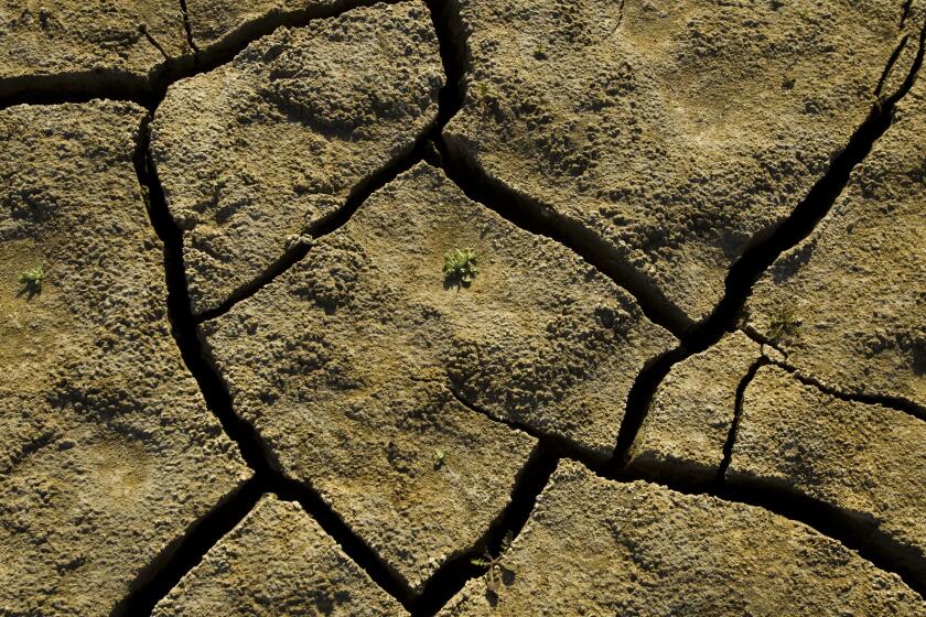
Peak Santa Ana wind season runs from November through January, so this latest wind event isn’t unusual. But rainfall is far below normal, adding to fire worries, officials warn.
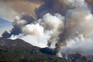
Earlier this month, a pair of fires sparked by similar conditions raged along the California-Nevada border.
The Mountain View fire killed one woman and decimated the small Eastern Sierra town of Walker. About 88 miles north, the Pinehaven fire ignited the same day and damaged scores of homes in Reno.
Warmer, drier conditions are predicted for portions of the U.S. currently enduring drought.
“That’s why this is a difficult time of year,” Sweet said. “It’s really a race to see whether the rains come in first, or whether the Santa Ana winds come in first. And when the winds come in before the rainfall comes, you have that high fire danger.”
The winds appear to be winning.
Beginning Monday night, winds from the north are predicted to pour over Santa Barbara County, spurred by high pressure in Nevada and lower pressure on the Southern California coast, Sweet said. By Tuesday night, those winds will likely shift to the northeast, and by Wednesday, the Santa Anas are slated to arrive, increasing over the afternoon and peaking on Thursday or Friday.
“We’re expecting a moderate to strong event,” and red flag warnings could go up as the winds pick up, Sweet said.
Valley regions, including the San Gabriel and San Fernando areas, could see gusts up to 60 mph, while coastal regions are expected to experience winds up to 45 mph, Sweet said. The Hollywood Hills and surrounding areas could get winds as high as 40 mph, he added.
Meanwhile, there’s no rain in sight for the next seven days, forecasters say.
Typically, downtown Los Angeles records 1.65 inches of rain between Oct. 1 — the start of the water year — and the beginning of December. This year, however, the area has seen only 0.11 of an inch, Sweet said.
More to Read
Sign up for Essential California
The most important California stories and recommendations in your inbox every morning.
You may occasionally receive promotional content from the Los Angeles Times.


