Rain returns to Southern California. How much will we get?

After a short break in a series of storms, steady showers returned to California on Friday before sunny skies emerge next week.
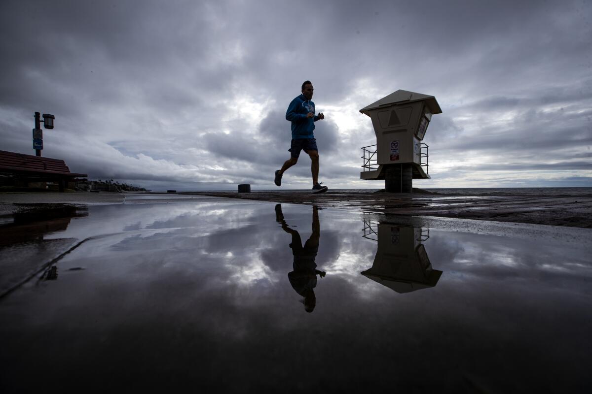
A cold front from the Pacific Northwest is rolling through. It brought the strongest showers to Northern California on Friday afternoon, while more moderate rain sprinkled in Southern California. Meteorologists said Friday the rain appeared to be delayed and would arrive by the evening, but by 12:45 p.m., a light rain had begun to fall in Los Angeles.
San Luis Obispo County is likely to get the strongest rain, with up to 2 inches in the foothills, while Los Angeles and Ventura counties are expected to see one-half to 1 inch of rain.
“This time it’s pretty much light rain,” said Kristen Stewart, a National Weather Service meteorologist based in Oxnard. “We’re at the tail end of the system.”
At elevations of 7,000 feet or higher, light snow will blanket the state’s ski resorts.
The historic ‘bomb cyclone’ winter storm set records for big waves and low pressure off northwest California
Though this storm is bringing in relatively the same amount of precipitation as the atmospheric-river-fueled system earlier this week, it will bring weaker and more widespread rain. The previous storm floated over certain areas for long periods of time, bringing heavy downpours, whereas the weekend’s showers will be scattered.
“Everywhere is going to get a good amount of rain and high-elevation snow,” said Spencer Tangen, a meteorologist with the National Weather Service in San Francisco.
But that doesn’t mean the area is safe from mudslides. A flash flood watch is in effect for the Kincade fire burn area in Sonoma County, where strong rain that could be exacerbated by high winds may cause debris flows.
A wind advisory is in effect from 10 a.m. Friday to 7 a.m. Saturday across the Bay Area, where 30-mph winds are expected, with gusts of up to 50 mph in the mountains, Tangen said.
The heaviest rain is expected in Northern California on Friday night, with the first showers beginning before 3 p.m. Friday. But there is a potential for cold thunderstorms Saturday, bringing near-freezing temperatures and the potential for small hail, forecasters said.
The North Bay, including Sonoma County where the Kincade fire burned, could get up to 4 inches of rain. The areas surrounding Big Sur and San Jose will see significantly less precipitation than the storm a few days ago: between 1.5 and 3 inches, compared with the 10 inches the area recorded earlier this week.
Meteorologists say up to 4 feet of snow could dump on the High Sierra peaks, while slopes between 6,000 and 7,000 feet will get up to 3 feet of fresh powder.
Southern California is expected to return to warm and dry weather next week, but to the north, another storm is likely to roll in by mid-week, according to the weather service.
More to Read
Sign up for Essential California
The most important California stories and recommendations in your inbox every morning.
You may occasionally receive promotional content from the Los Angeles Times.


