Super storm Sandy: Tracking the recovery on the Internet

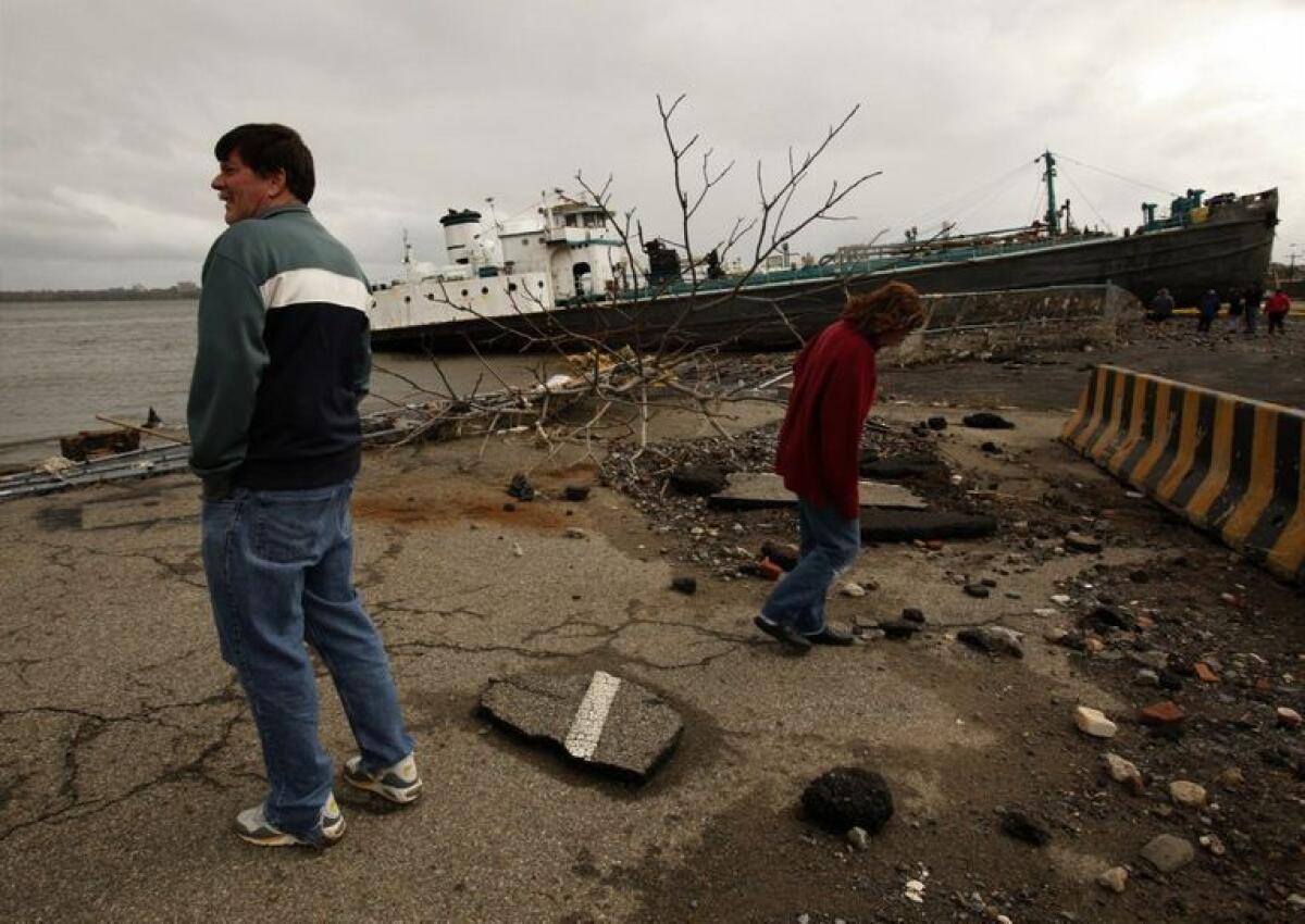
Hurricane Sandy is moving west and losing steam, according to the latest report from AccuWeather.com. But the damage has been done.
As of Tuesday morning, the death toll from Sandy is at 38 people, and more than 8 million homes are without power from North Carolina to Maine to Michigan The New York Times reports. Crews are working hard to restore electricity, but some additional power loss is expected as weakened trees fall and take power lines down with them.
And the flooding may not be over yet. The runoff from the torrential rains over parts of Maryland and Pennsylvania is expected to lead to flooding of the Potomac River later this week, AccuWeather.com reports.
I’ve been texting with my East Coast family and friends all morning, making sure everyone is OK and trying to get a sense of the damage.
But as the power outages continue — in some places they are expected to last as much as a week — and our friends and family’s cellphone batteries run the risk of dying, those of us who are tracking the effects of the storm from afar may need to rely on other sources for our news.
The TV networks will give us the big news stories, but what about getting information on a hyper-local level — like, did your apartment flood, and do you have heat?
To start, keep close tabs on Facebook and Twitter for updates from your social network. It will give you a sense of how the people closest to you are faring without you needing to waste their valuable cellphone battery time.
On Monday, Google added a power-outage layer to its crisis map so you can follow along as the Eastern region comes back online. Click on those orange circles with lightning zigzags in them and you’ll find more details from the organization that provided the information. This will help you get a really local sense of who has power.
To find out which areas were hit hardest by flooding, you can look at the FEMA-MOTF Hurricane Sandy Impact Analysis map. You can zoom way in on the map to see where flooding has occurred.
If you are at work and not near a television, YouTube is sending people directly to live coverage of Sandy on the Weather Channel. (It should come as no surprise that yesterday the Weather Channel had record online views).
ALSO:
Hurricane Sandy and the power of social media
Concerns grow about Potomac River flooding, outages
How to stay in touch amid Hurricane Sandy: tweet, Facebook, text
Follow Deborah Netburn on Twitter or Google+
More to Read
Inside the business of entertainment
The Wide Shot brings you news, analysis and insights on everything from streaming wars to production — and what it all means for the future.
You may occasionally receive promotional content from the Los Angeles Times.


