So long, El Nino; La Nina is on its way back, scientists say
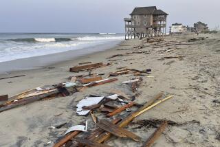
WASHINGTON — Forecasters warned Tuesday that a La Nina weather pattern -- the nasty flip side of El Nino -- is brewing, bringing with it the threat of more hurricanes for the Atlantic.
Officials at the National Oceanic and Atmospheric Administration announced the official end of a brief and mild El Nino that started last year. That El Nino was credited with partially shutting down last summer’s Atlantic hurricane activity in what was forecast to be a busy season.
“We’re seeing a shift to the La Nina -- it’s clearly in the data,” NOAA Administrator Conrad C. Lautenbacher said.
La Nina is marked by cooler than normal surface temperatures in the central and eastern tropical Pacific Ocean. It has not officially begun, but the trend is obvious based on satellite and ocean measurement data, Lautenbacher said.
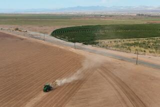
The last lengthy La Nina, from 1998 to 2001, helped cause a serious drought in much of the West, according to the NOAA.


