Quake Forecast System Offered
University of Colorado scientists say they may have found a way to forecast Southern California earthquakes--but that the method cannot be verified until the end of the decade.
The system, developed primarily by John B. Rundle and Kristy F. Tiampo of Colorado’s Cooperative Institute for Research in Environmental Sciences, uses past patterns of small quakes to evaluate which areas are most likely to have quakes of 5.0 magnitude or larger.
The scientists have provided a color-coded map showing areas where the bigger quakes may occur through 2010.
But three local earthquake scientists--David Jackson of UCLA, Egill Hauksson of Caltech and Lucy Jones of the U.S. Geological Survey--cautioned that they believe the system is subject to considerable doubt.
Rundle acknowledged that success is far from certain, but said the map, produced by a team including scientists at Jet Propulsion Laboratory and the Los Alamos National Laboratory in New Mexico, will let researchers test the theory.
“There’s going to be a great deal of skepticism about this, and there should be,” Rundle said. “We don’t know whether it will work or not.”
The map was developed early last year, but not released until publication in an article that appeared Feb. 19 in the Proceedings of the National Academy of Sciences.
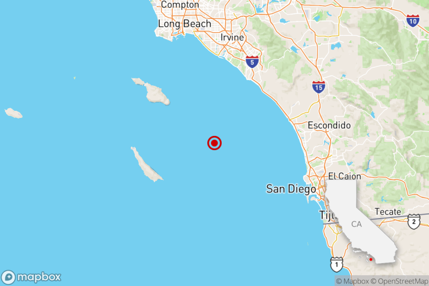
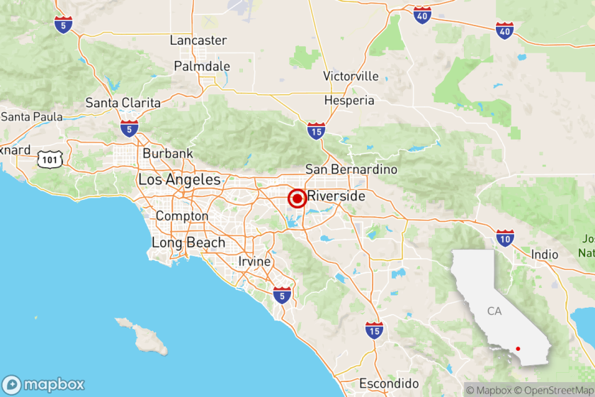
In the last year there have been two quakes of 5.1 or larger in Southern California. One, near Big Bear Lake on Feb. 10, 2001, was inside an area marked as susceptible to large quakes. Another, near Anza last Oct. 31, was about 10 miles outside one. A third quake, the 5.7 that occurred last Friday 30 miles inside Baja California, was within another area designated as susceptible.
But Jones said Friday that “one year and three events is not enough to say” whether Rundle and Tiampo’s system works.
Jones noted that most of the areas marked as being at risk on the Colorado scientists’ map are in the state’s most active seismic areas anyway.
The biggest patches of predicted activity are in the northern San Fernando and Santa Clarita valleys, the Mammoth Lakes area and the Mojave Desert areas, all of which have had many small quakes and some large ones in recent years.
“To determine the success of the method, it will be necessary to look at what earthquakes occur within these regions over the next 10 years and to determine what is the chance that they would have happened anyway,” Jones said.
Rundle said the new system provides only a forecast--a general statement of the probability of quakes, without specifying an exact time, place and size--and therefore not a quake prediction. Few scientists believe it is presently possible to precisely predict when and where an earthquake will occur.
To UCLA’s Jackson, however, the Colorado scientists’ system does not even qualify as a forecast.
“There are no probabilities, so it is not what most seismologists call a forecast,” Jackson said. “It’s not clear that their complicated physics adds much beyond what we already know from the locations of past earthquakes.”
Jackson said it is important to differentiate between forecasting earthquakes, predicting them and simply estimating hazards for an area. Earthquake hazard estimations, he said, describe the long-term earthquake potential for an area based on past earthquake activity. That, he said, is what he believes Rundle and his colleagues have done.
More to Read
Sign up for Essential California
The most important California stories and recommendations in your inbox every morning.
You may occasionally receive promotional content from the Los Angeles Times.

