Southland Gets Snow, Light Rain
Light rain and snow fell on Southern California on Thursday, as a blustery Pacific storm arrived earlier and moved through more quickly than expected.
As storms go, it was kind of a bust, dropping far less precipitation than predicted. Only .24 of an inch of rain had collected in the Civic Center gauge by nightfall. That raised the total for the season, from July 1 to June 30, to 1.48 inches, about half the normal total through Nov. 29.
Despite showers during much of the morning rush hour, there was no increase in traffic accidents, the California Highway Patrol said.
“Knock on wood, but we haven’t had any complications due to the weather,” said Sgt. Jack Skaggs of the CHP’s Fort Tejon station. He said earlier storms had washed away most of the surface oil on roadways, so the pavement wasn’t very slippery.
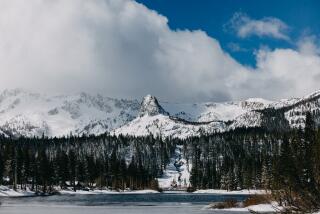
Snowfall amounts in the mountains were generally light Thursday, but meteorologists said more could fall at ski resort elevations this weekend.
High-altitude jet stream winds are beginning to push storms rapidly across the Pacific and into California, the National Weather Service said.
Although skies will begin to clear today, clouds will return Saturday, with more and heavier rain Saturday night, all day Sunday and Monday morning. Temperatures will be cooler over the weekend, with several inches of snow expected above 5,000 feet.
Forecasters said skies will clear again briefly Monday night, but there’s a chance of more rain Tuesday and Wednesday.
More to Read
Sign up for Essential California
The most important California stories and recommendations in your inbox every morning.
You may occasionally receive promotional content from the Los Angeles Times.


