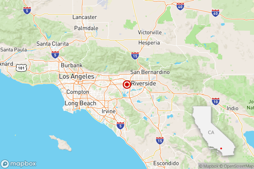
Study Foresees Vast Damage in Central L.A. in 6.3 Temblor
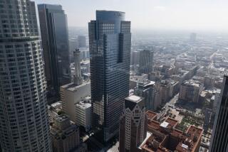
Approximately 33,000 buildings in the City of Los Angeles--or about 5%--would be destroyed, and damage would be in the $4-billion range, if the city’s central business district were the epicenter of an earthquake with a 6.3 magnitude, a report for the National Science Foundation has concluded.
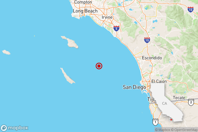
A 6.3-magnitude earthquake would be about twice the severity of last week’s Palm Springs temblor.
The as-yet unreleased report adds that an 8.3-magnitude “big one” on the San Andreas fault near the city would destroy about 1,600 buildings in Los Angeles, with a citywide damage price tag of more than $1 billion. An 8.3-magnitude quake would be about the severity of Southern California’s Fort Tejon temblor almost 130 years ago or the San Francisco earthquake of 1906.
Injuries, Deaths
The study, now circulating among Los Angeles city officials, did not project personal injuries or deaths.
It serves as “a starting point” to prepare for the area’s next big earthquake, its architect, urban planning consultant William Spangle, said in a telephone interview from his Portola Valley office.
Postulating the impact of a major temblor on specific areas of Los Angeles “hadn’t been calculated before,” said principal city planner Glenn O. Johnson, who is studying a draft copy of the report. “It provides us with useful information about the extent of damage. It could help us better plan the resources needed to meet (earthquake) disasters in different parts of the city.”
The report is timely, he said, because a committee of city officials, including planners, engineers and safety experts, was recently formed to see if city ordinances and regulations need overhauling to facilitate rebuilding and recovery after a major earthquake.
The two-volume report, “Pre-Earthquake Planning for Post-Earthquake Rebuilding,” carries the acronym, the Pepper Report, and is essentially complete. It was underwritten in 1981 by a $365,000 National Science Foundation grant and is scheduled to be made public in the fall.
The report states that a great Southern California earthquake, such as the Fort Tejon temblor of 1857--the strongest quake to hit this area in recorded history, which was felt from Los Angeles to San Francisco and Sacramento--is “almost certain to occur” near Los Angeles in the next 50 years.
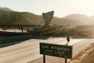
And a “moderate-sized” earthquake, such as the one in San Fernando Valley in 1971, can be expected to hit the Los Angeles area much sooner, the report said. That quake caused about $500 million in damage, killed 58 people, destroyed almost 800 homes and apartment buildings and made nearly 1,200 structures unsafe for occupancy.
The report’s earthquake forecasts are generally consistent with previous studies. One of the earlier studies, made in 1981 by the Federal Emergency Management Agency, also predicted that as many as 14,000 people in Southern California would be killed if an earthquake of 8.3 magnitude occurred on a weekday afternoon.
The Pepper Report pointed out that the location of the epicenters of such temblors is far more important than their sheer size in terms of the devastation which could be expected in Los Angeles.
‘Could Be More Severe’
“A 6.3 earthquake could be more severe than . . . an 8.3 (along the San Andreas Fault) with its epicenter some distance from the city,” it said.
Asked to comment on whether a major temblor could strike downtown Los Angeles, Caltech seismologist Kate Hutton said, “I think it’s plausible, it’s not totally off the wall.”
Looking at a state Division of Mines and Geology earthquake fault map, Hutton said, shows that the Whittier Fault line runs about 10 miles east of downtown and “could produce” a temblor in the 6.3-magnitude range. When the Whittier Fault slipped in 1929, she added, a temblor in the upper-5 magnitude range was recorded.
Two other moderately active fault lines run near central Los Angeles: the Raymond Fault, which runs through Pasadena about seven miles northeast of downtown; and the Newport-Inglewood Fault, which tracks through Culver City about seven miles southwest of Los Angeles’ core.
“And there may be other faults down there we may not know about,” said Henry Degenkolb, chief of a San Francisco structural engineering firm which helped produce the Pepper Report. “Coalinga happened where we didn’t know a fault existed,” he said, referring to the 6.7-magnitude earthquake that severely damaged that Central Valley community in 1983.
Several Scenarios
The Pepper Report’s disaster analysis is based on several scenarios.
One is that sometime in the next 50 years there will be an 8.3-magnitude earthquake on the southern segment of the San Andreas Fault about 35 miles north of Los Angeles.
Other scenarios include three magnitude-6.3 earthquakes focused in Los Angeles’ central business district, in West Los Angeles and in Long Beach, all triggered by nearby faults. Such “moderate-sized local earthquakes,” the report said, “occur much more frequently in California” than “great earthquakes” with a magnitude of 8 or more.
Citing such earthquakes as the 1925 Santa Barbara temblor (magnitude 6.3), the 1933 Long Beach quake (6.3), the San Fernando Valley temblor of 1971 (6.5), Imperial Valley’s 1979 quake (6.4), the 1983 Coalinga quake (6.4) and the 1984 Morgan Hill temblor (6.2) near San Jose, it said:
“The return period for such quakes in the Los Angeles area is evidently about 20 years, so the annual odds of (an earthquake in the 6.0-6.5 range) occurring somewhere in Los Angeles is about 5%.”
Landslide Problems
The study said that temblors of either an 8-plus or 6-plus magnitude would cause landslide problems in Los Angeles’ hilly terrain, such as in Pacific Palisades and the Santa Monica Mountains. But it said that all the major dams would survive the earthquakes and that significant flooding is unlikely to occur in the city.
The report comes amid an effort by Los Angeles officials to upgrade aging buildings in anticipation of a major earthquake. In 1981, the City Council passed an ordinance requiring the structural upgrading of older properties, and about 8,000 buildings have been targeted for such work by 1992.
Among them are most of the aging buildings in the downtown Broadway corridor that need structural reinforcement and other work to bring them up to code, such as the landmark Bradbury Building.
“If (a building) is old and made out of brick and hasn’t been upgraded, it definitely is subject to a lot of damage and collapse” should a temblor the size of the Palm Springs quake strike downtown Los Angeles, said Al Asakura, chief of the city’s earthquake safety division in the Department of Building and Safety.
“In general, the newer, taller buildings are designed to meet earthquake standards,” Asakura said. “They would be OK.”
PROJECTED QUAKE DAMAGE IN LOS ANGELES
A study for the National Science Foundation projects damage to buildings in the city of Los Angeles, depending on an earthquake’s magnitude and epicenter:
8+ MAGNITUDE QUAKE ON THE SAN ANDREAS FAULT Major Total Damaged Repairs Beyond Buildings but Habitable Needed Repair 700,200 306,000 1,320 1,660
6+ MAGNITUDE QUAKE IN DOWNTOWN LOS ANGELES Major Total Damaged Repairs Beyond Buildings but Habitable Needed Repair 700,200 410,000 22,000 33,000
6+ MAGNITUDE QUAKE IN WEST LOS ANGELES Major Total Damaged Repairs Beyond Buildings but Habitable Needed Repair 700,200 295,000 13,600 20,600
6+ MAGNITUDE QUAKE IN LONG BEACH Major Total Damaged Repairs Beyond Buildings but Habitable Needed Repair 700,200 258,000 270 90
More to Read
Sign up for Essential California
The most important California stories and recommendations in your inbox every morning.
You may occasionally receive promotional content from the Los Angeles Times.

